Pirep is a free, collaborative database of all public and private airports. All pilots are welcome to contribute their local knowledge to any airport, no registration required.
Public
Undocumented
METAR / TAF
Webcam
Edit Tags
No upcoming events. Is anything happening here soon?
Airport Statistics
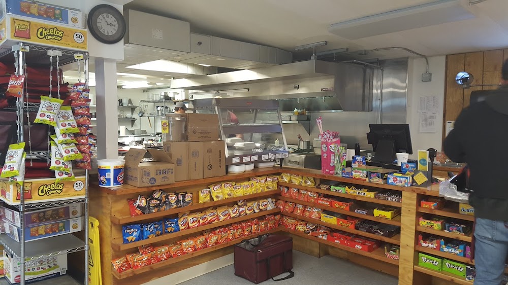
- Crew car availability
- WiFi availability
- Local flying clubs
Location:
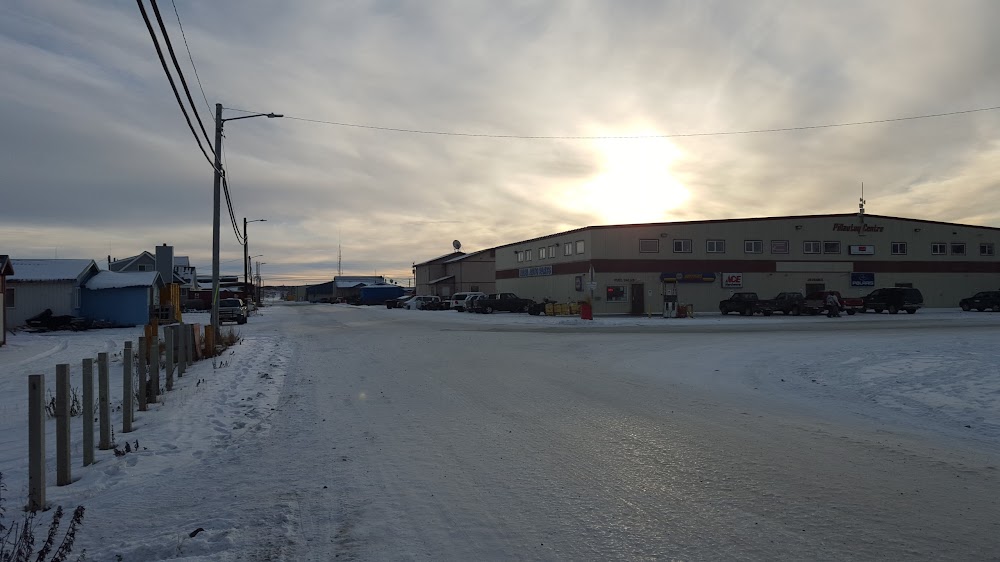
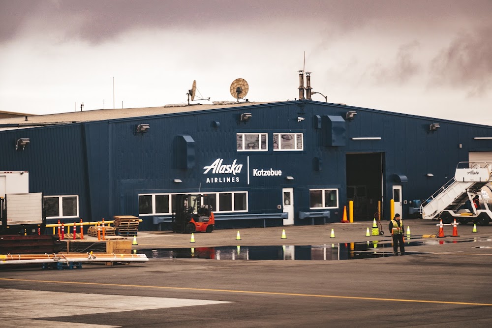
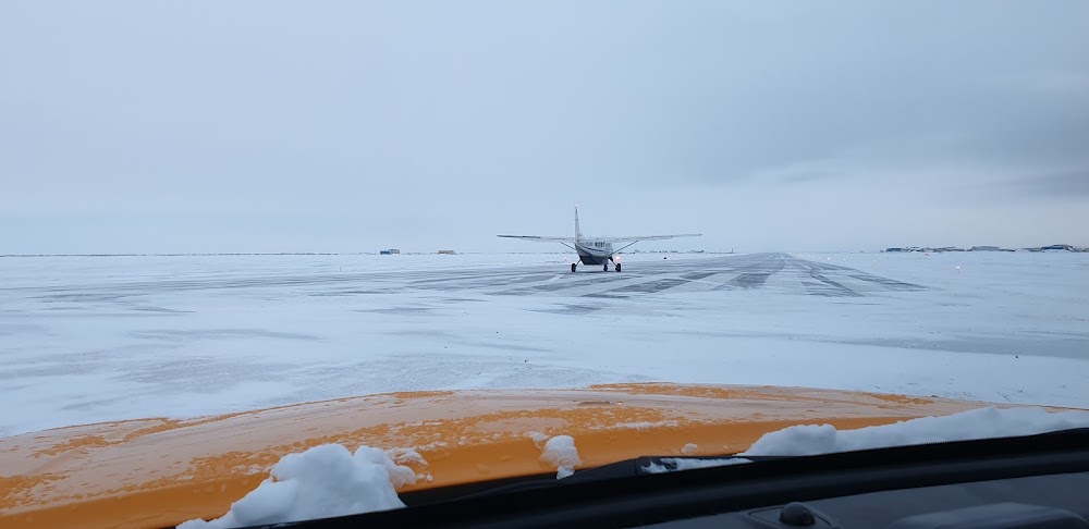
Kotzebue, AK
Elevation:
15ft
Sectional:
Nome
Activation date:
Sep 1947
Fuel:
100, A (prices)
Runway 09/27:
6,300ft
Runway 18/36:
3,876ft
Access: Open to the public
Current Weather — VFR
-
Weather data is strictly informational and not for flight planning purposes.
-
METAR2026-07-20 00:53:00 AKDT
Ceiling: 11,000ft Wind: 090° @ 11kt Temperature: 55°F Dewpoint: 51°F Weather: N/A Visbility: 10SM Clouds: Few @ 7,500ft, Scattered @ 9,000ft, Overcast @ 11,000ft Raw:METAR PAOT 200853Z AUTO 09011KT 10SM FEW075 SCT090 OVC110 13/11 A2991 RMK AO2 RAE44 SLP129 P0003 60008 T01280106 401670100 58001 TSNO -
TAF2026-07-19 22:00:00 AKDT – 2026-07-20 12:00:00 AKDT
Ceiling: 5,000ft Wind: 110° @ 12kt Weather: Light rain showers Visbility: 6SM Clouds: Scattered @ 1,500ft, Overcast @ 5,000ft Raw:TAF PAOT 200538Z 2006/2106 11012KT P6SM -SHRA SCT015 OVC050 FM202000 12006KT P6SM -RA OVC025 -
TAF2026-07-20 12:00:00 AKDT – 2026-07-20 22:00:00 AKDT
Ceiling: 2,500ft Wind: 120° @ 6kt Weather: Light rain Visbility: 6SM Clouds: Overcast @ 2,500ft Raw:TAF PAOT 200538Z 2006/2106 11012KT P6SM -SHRA SCT015 OVC050 FM202000 12006KT P6SM -RA OVC025
Click/tap to add an annotation marker to the map
Remarks
- Review of road location /pending.
- Clsd to acr ops more than 30 pax seats exc ppr in writing - amgr box 55 kotzebue ak 99752.
- Arpt svcs avbl 0700-2000; aft hr - amgr.
- Prkg area unlgtd. tsnt prkg - flt svc.
- Twys & ramps have nmrs dips & rough sfcs.
- Sand lrgr gradation than faa rcmdd/see ac150/5200-30.
- Nmrs 330 ft wind turbine twrs 3.5 mi se.
- Wx camera avbl on internet at https://weathercams.faa.gov
Comments