Pirep is a free, collaborative database of all public and private airports. All pilots are welcome to contribute their local knowledge to any airport, no registration required.
Public
Undocumented
METAR / TAF
Edit Tags
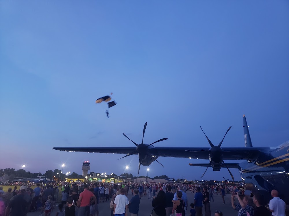
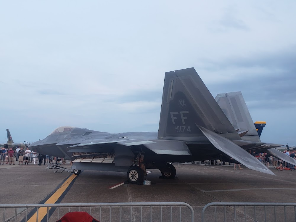
No upcoming events. Is anything happening here soon?
Airport Statistics
- Local flying clubs
- Crew car availability
- Transient parking location
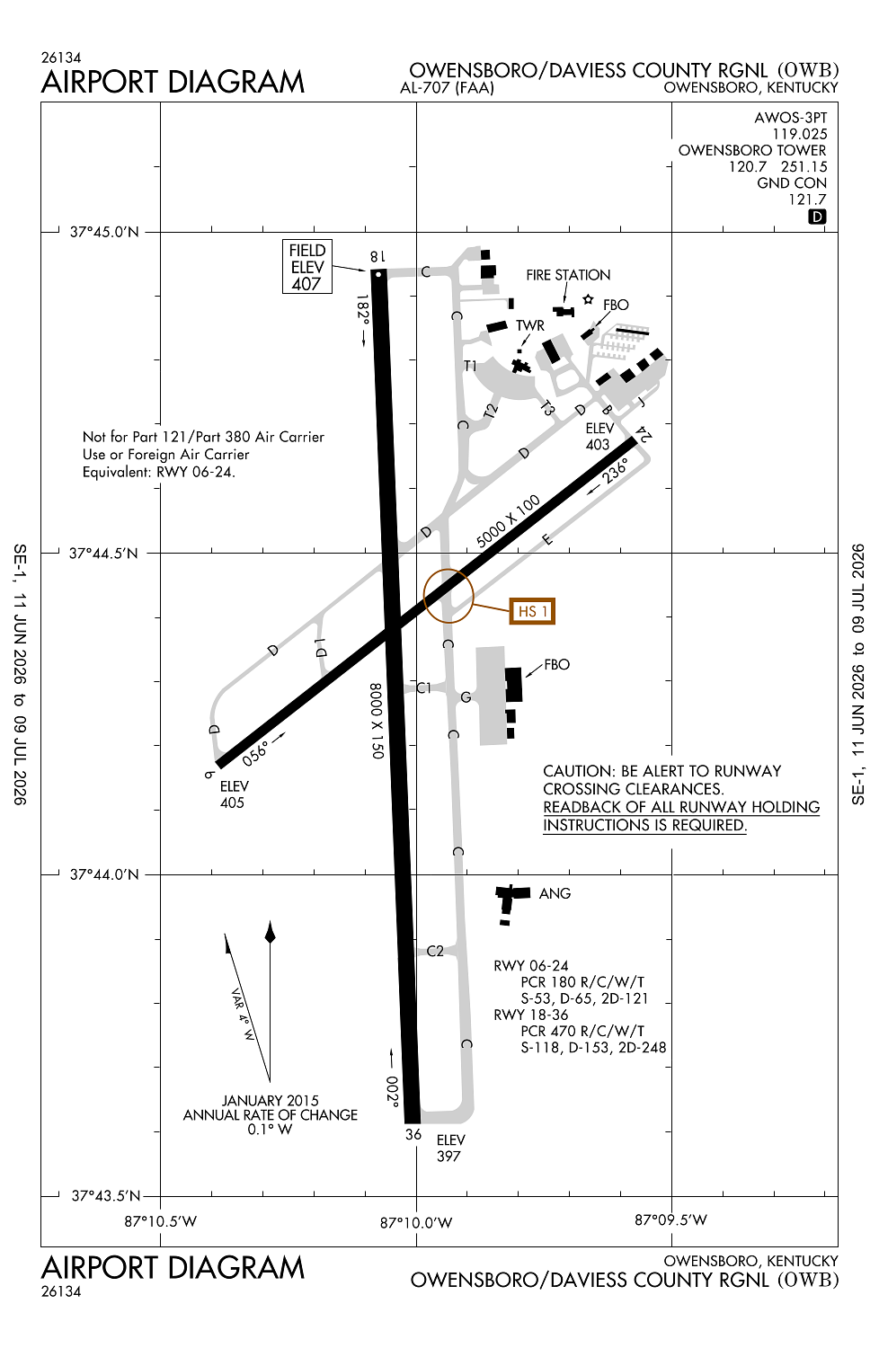
Location:
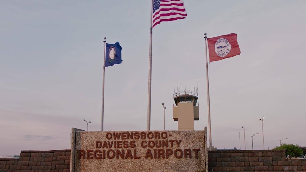
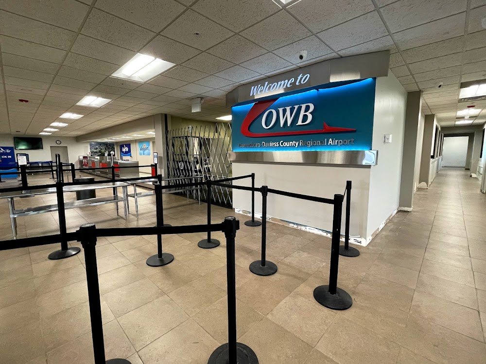
Owensboro, KY
Elevation:
407ft
Sectional:
St Louis
Activation date:
Dec 1949
Fuel:
100LL, A (prices)
Runway 18/36:
8,000ft
Runway 06/24:
5,000ft
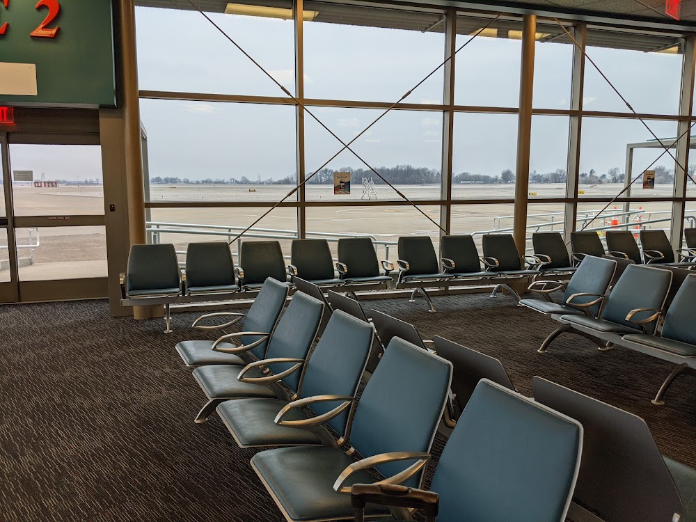
Access: Open to the public
Current Weather — VFR
-
Weather data is strictly informational and not for flight planning purposes.
-
METAR2026-07-20 02:56:00 CDT
Ceiling: Sky clear Wind: 080° @ 5kt Temperature: 77°F Dewpoint: 75°F Weather: N/A Visbility: 10SM Raw:METAR KOWB 200756Z AUTO 08005KT 10SM CLR 25/24 A2990 RMK AO2 SLP120 T02500244 -
TAF2026-07-20 01:00:00 CDT – 2026-07-20 11:00:00 CDT
Ceiling: Sky clear Wind: Calm Weather: N/A Visbility: 6SM Clouds: Scattered @ 4,500ft Raw:TAF KOWB 200520Z 2006/2106 00000KT P6SM SCT045 TEMPO 2009/2013 5SM BR FM201600 27007KT P6SM BKN045 FM202300 VRB03KT P6SM FEW250 -
TAF2026-07-20 04:00:00 CDT – 2026-07-20 08:00:00 CDT
Ceiling: Sky clear Wind: 000° @ kt Weather: Mist Visbility: 5SM Raw:TAF KOWB 200520Z 2006/2106 00000KT P6SM SCT045 TEMPO 2009/2013 5SM BR FM201600 27007KT P6SM BKN045 FM202300 VRB03KT P6SM FEW250 -
TAF2026-07-20 11:00:00 CDT – 2026-07-20 18:00:00 CDT
Ceiling: 4,500ft Wind: 270° @ 7kt Weather: N/A Visbility: 6SM Clouds: Broken @ 4,500ft Raw:TAF KOWB 200520Z 2006/2106 00000KT P6SM SCT045 TEMPO 2009/2013 5SM BR FM201600 27007KT P6SM BKN045 FM202300 VRB03KT P6SM FEW250 -
TAF2026-07-20 18:00:00 CDT – 2026-07-21 01:00:00 CDT
Ceiling: Sky clear Wind: Variable Weather: N/A Visbility: 6SM Clouds: Few @ 25,000ft Raw:TAF KOWB 200520Z 2006/2106 00000KT P6SM SCT045 TEMPO 2009/2013 5SM BR FM201600 27007KT P6SM BKN045 FM202300 VRB03KT P6SM FEW250
Click/tap to add an annotation marker to the map
No webcams added yet.
Remarks
- Existed prior to 1959.
- Ppr 24 hr for unsked acr ops with more than 30 pax - amgr.
- Wildlife & agriculture ops on & invof arpt.
- For cd when atct clsd ctc evansville apch at 812-436-4690, when apch clsd ctc indianapolis artcc at 317-247-2411.
- When atct clsd actvt malsr rwy 36; reil rwy 06, 18, 24; papi rwy 6, 18, 24, 36; mirl rwy 6/24; hirl rwy 18/36; twy; windcone - ctaf.
Comments