Pirep is a free, collaborative database of all public and private airports. All pilots are welcome to contribute their local knowledge to any airport, no registration required.
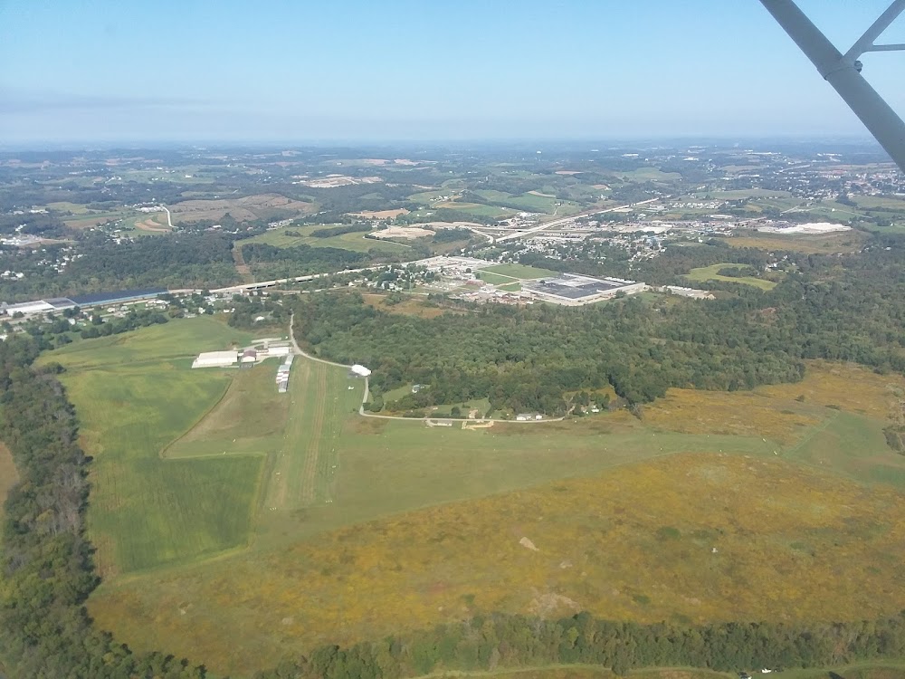
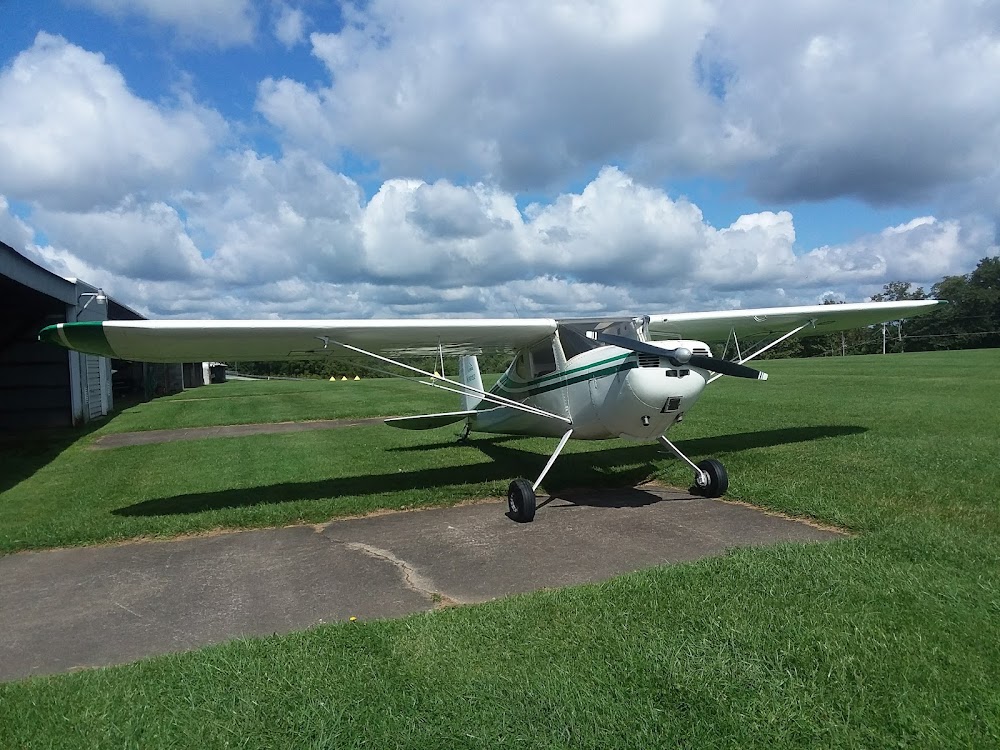
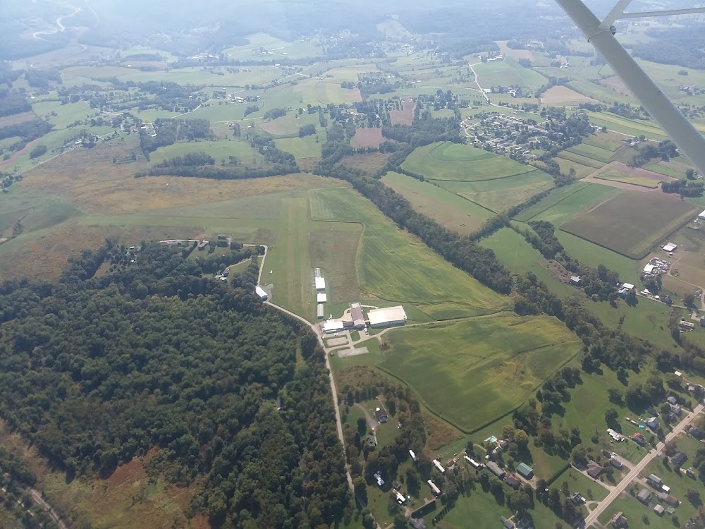
Public
Undocumented
Edit Tags
No upcoming events. Is anything happening here soon?
Airport Statistics
- Airport map annotations
- General description
- Transient parking location
Location:
Mount Pleasant, PA
Elevation:
1,160ft
Sectional:
Detroit
Activation date:
Mar 1947
Fuel:
None
Runway 06/24:
2,037ft
Runway 14/32:
1,625ft
Access: Open to the public
This airport is privately owned but open to the public.
Click/tap to add an annotation marker to the map
No webcams added yet.
Remarks
- Vfr opns only
- Rwys unusbl durg spring thaw & wet periods.
- Extsv hel actvty at adj heli.
- Ultralight actvty on & invof arpt.
- Both rwy sfcs are rolling.
- Ultralight acft use 500 ft agl r tfc pat for all rwys.
- Wildlife on & invof rwys.
- Rwy not mntnd drg winter months.
Comments