Pirep is a free, collaborative database of all public and private airports. All pilots are welcome to contribute their local knowledge to any airport, no registration required.
Public
Undocumented
Edit Tags
No upcoming events. Is anything happening here soon?
Airport Statistics
- Crew car availability
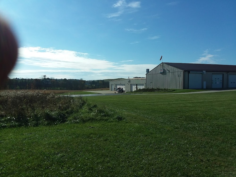
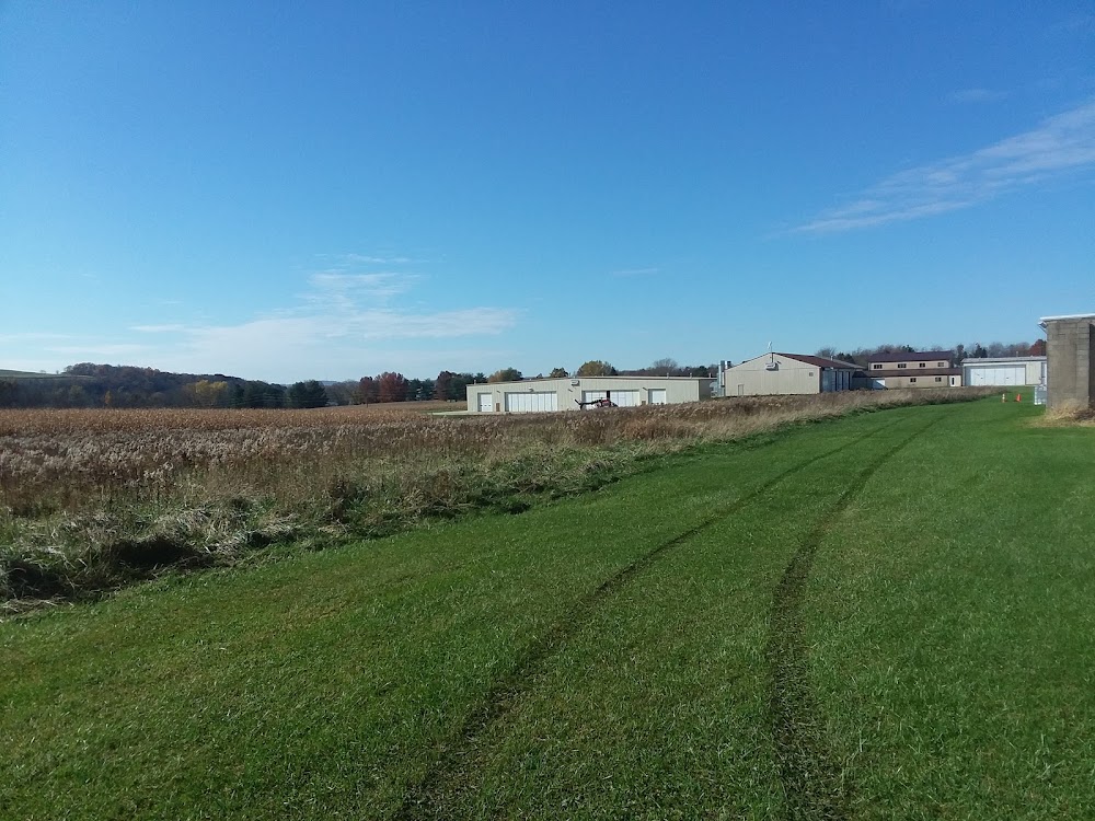
- General description
- WiFi availability
Location:
Mount Pleasant, PA
Elevation:
1,090ft
Sectional:
Detroit
Activation date:
Jul 1979
Fuel:
A (prices)
Runway H1:
74ft
Access: Open to the public
This airport is privately owned but open to the public.
Click/tap to add an annotation marker to the map
No webcams added yet.
Remarks
- Rwy h1 ingress 320-050 deg, egress 140-230 deg.
- Fixed wing tfc adjacent at mt pleasant-scottdale arpt.
- Seasonal crops located approx 35 ft south of heliport.
- For cd ctc johnstown apch at 814-532-5960, when apch clsd ctc cleveland artcc at 440-774-0234.
- Conc tlof and fato.
Comments