Pirep is a free, collaborative database of all public and private airports. All pilots are welcome to contribute their local knowledge to any airport, no registration required.
Sadly, this airport is reportedly closed based on it being removed from the FAA's database.


Public
Undocumented
Closed
METAR / TAF
Edit Tags
No upcoming events. Is anything happening here soon?
Airport Statistics
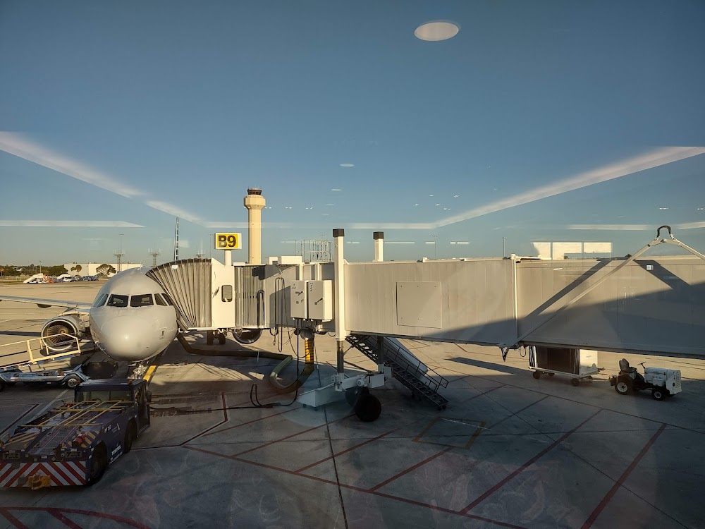
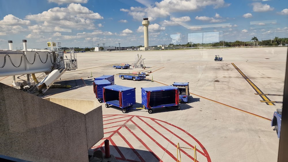
- Webcam links
- Airport map annotations
- General description
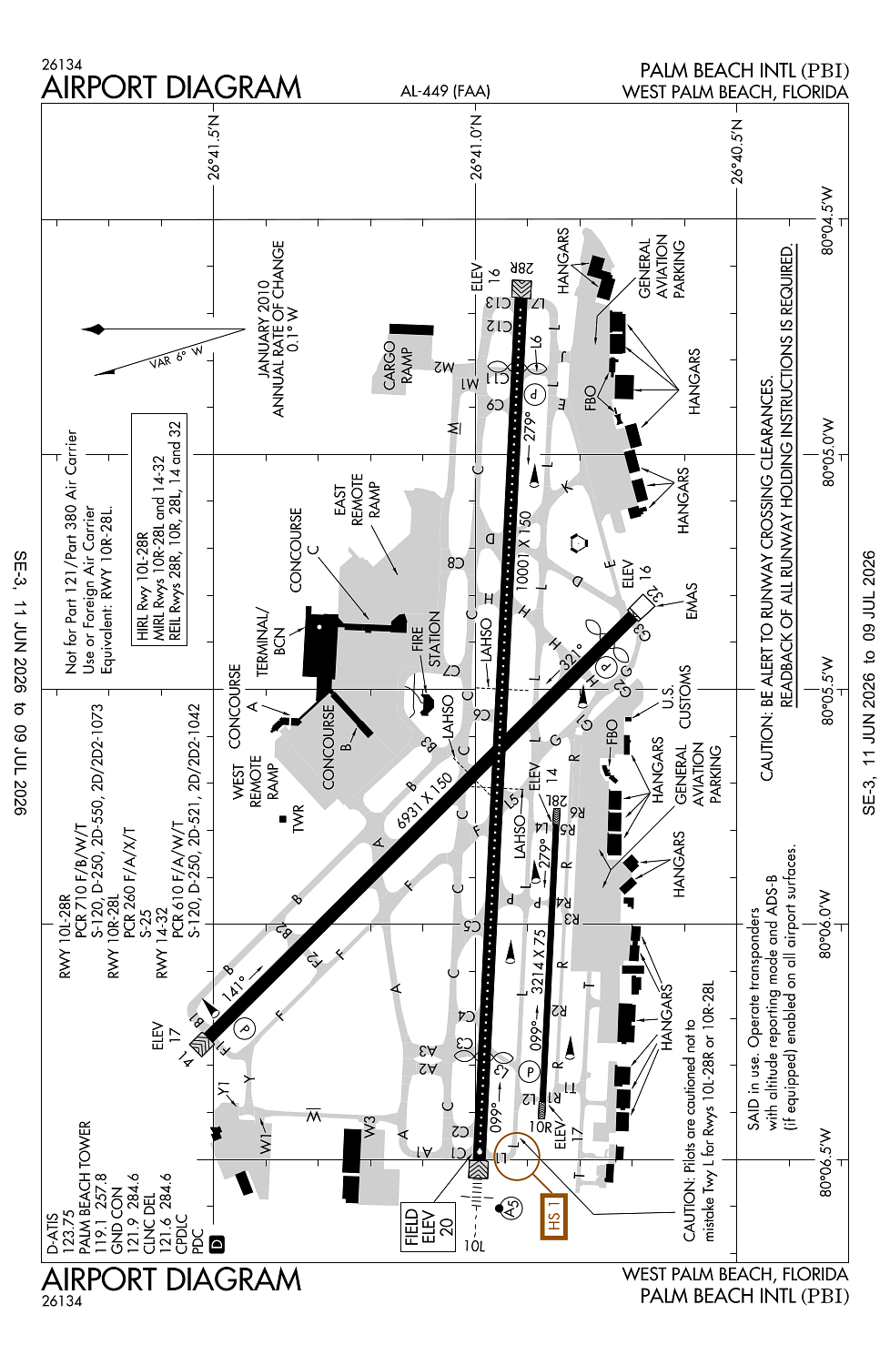
Location:
West Palm Beach, FL
Elevation:
19ft
Sectional:
Miami
Activation date:
Apr 1940
Closed date:
Jun 2026
Fuel:
100LL, A (prices)
Runway 10L/28R:
10,001ft
Runway 14/32:
6,931ft
Runway 10R/28L:
3,214ft
Access: Open to the public
Click/tap to add an annotation marker to the map
No webcams added yet.
Remarks
- Index d arff equipment available; 24 hour ppr.
- Migratory birds on and invof arpt.
- Noise abatement procedures in effect. multiengine flight training prohibited ss to sr sun and holiday; strict environmental operating stage 2 acft 0300-1200z call noise abatement officer 561-471-7467.
- Be alert; rys 28l & 28r thlds staggered by 5400 ft.
- Rwy 10r/28l not avbl for sked acr ops with more than 9 pax seats or unsked acr at least 31 pax seats.
Comments