Pirep is a free, collaborative database of all public and private airports. All pilots are welcome to contribute their local knowledge to any airport, no registration required.

Public
Undocumented
METAR / TAF
Edit Tags
No upcoming events. Is anything happening here soon?
Airport Statistics
- WiFi availability
- Fuel pump location
- Landing & tie-down fees
Location:
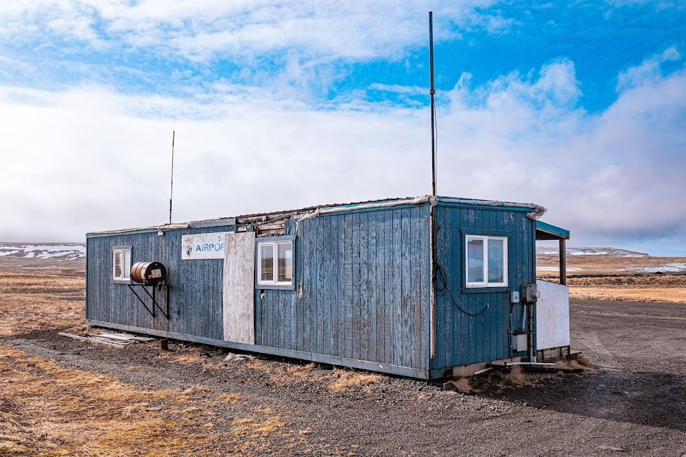
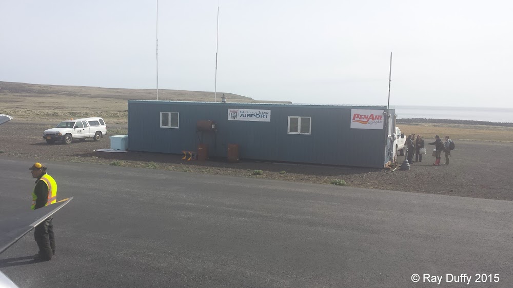
St George, AK
Elevation:
127ft
Sectional:
Dutch Harbor
Activation date:
Jul 1992
Fuel:
None
Runway 11/29:
4,982ft
Access: Open to the public
Current Weather — LIFR
-
Weather data is strictly informational and not for flight planning purposes.
-
METAR2026-07-20 21:21:00 HDT
Ceiling: 200ft Wind: 240° @ 16kt Temperature: 44°F Dewpoint: 44°F Weather: Fog Visbility: 0SM Clouds: Obscured @ 200ft Raw:SPECI PAPB 210621Z AUTO 24016KT 1/2SM FG VV002 07/07 A2950 RMK AO2 T00720072 TSNO
Click/tap to add an annotation marker to the map
No webcams added yet.
Remarks
- Actvt rotg bcn - ctaf.
- Seabird concentrations & wildlife invof arpt.
- Avoid flt blw 1000 ft may 14 - dec 14 invof st. george island with actv bird populations & coastal seal rookeries.
- Actvt malsf rwy 11; reil rwy 29; papi rwy 11; hirl rwy 11/29; windsock - ctaf.
- Ctlg obstn exceeds 45 deg slope.
- Parl road extds 200 ft fm r side of rwy end.
Comments