Pirep is a free, collaborative database of all public and private airports. All pilots are welcome to contribute their local knowledge to any airport, no registration required.

No upcoming events. Is anything happening here soon?
Last updated: 2023-05-30 20:56:51 PDT
Airport Statistics
- Transient parking location
- Crew car availability
- Landing & tie-down fees
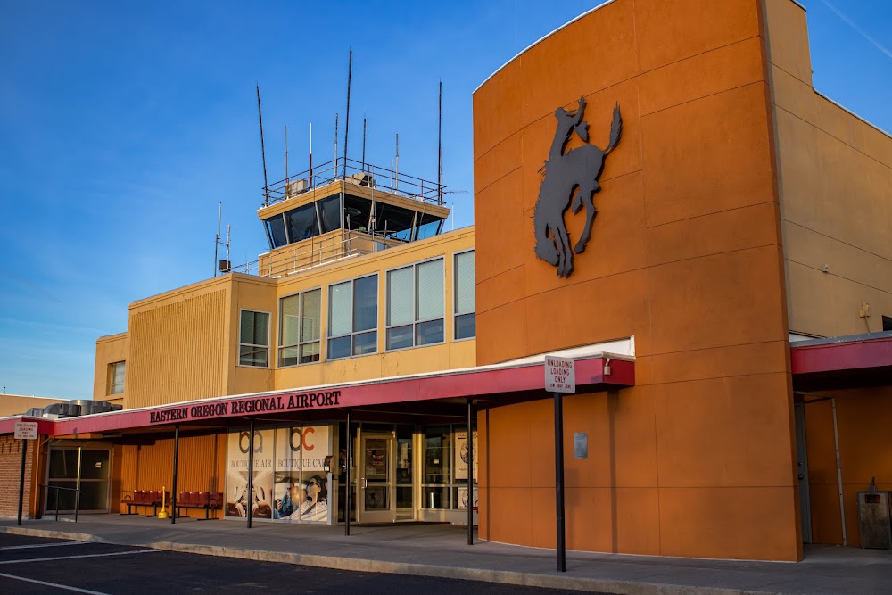
Location:
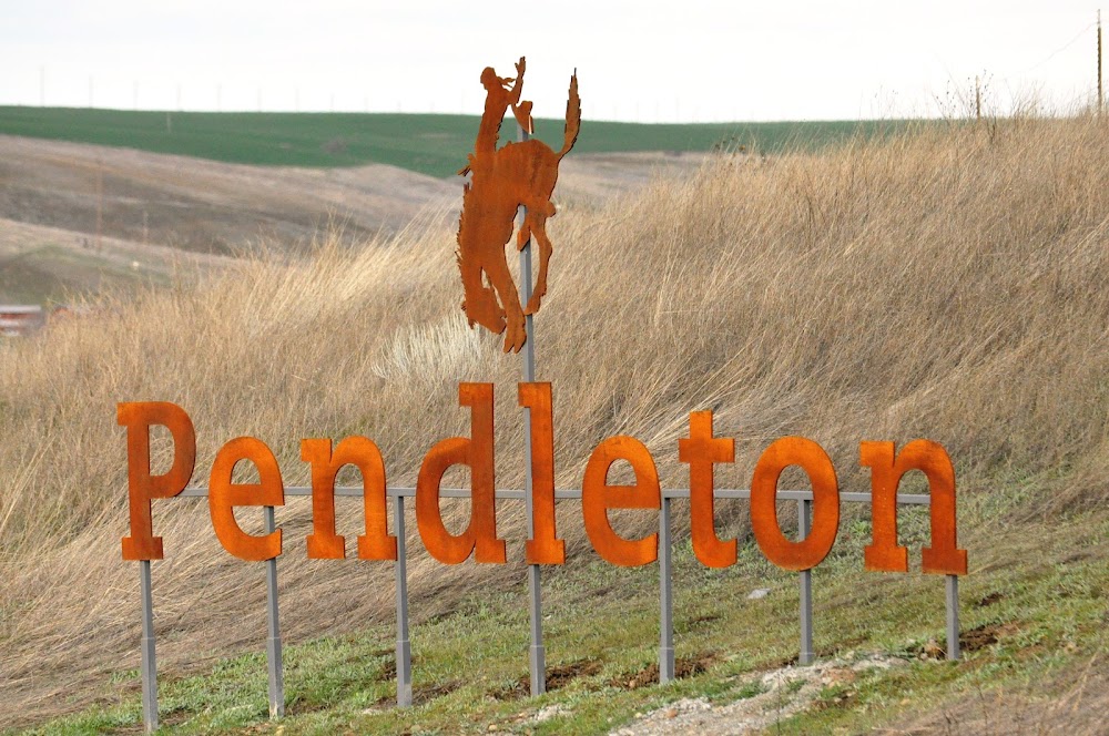
Pendleton, OR
Elevation:
1,494ft
Sectional:
Seattle
Activation date:
Oct 1937
Fuel:
100LL, A1+, MOGAS (prices)
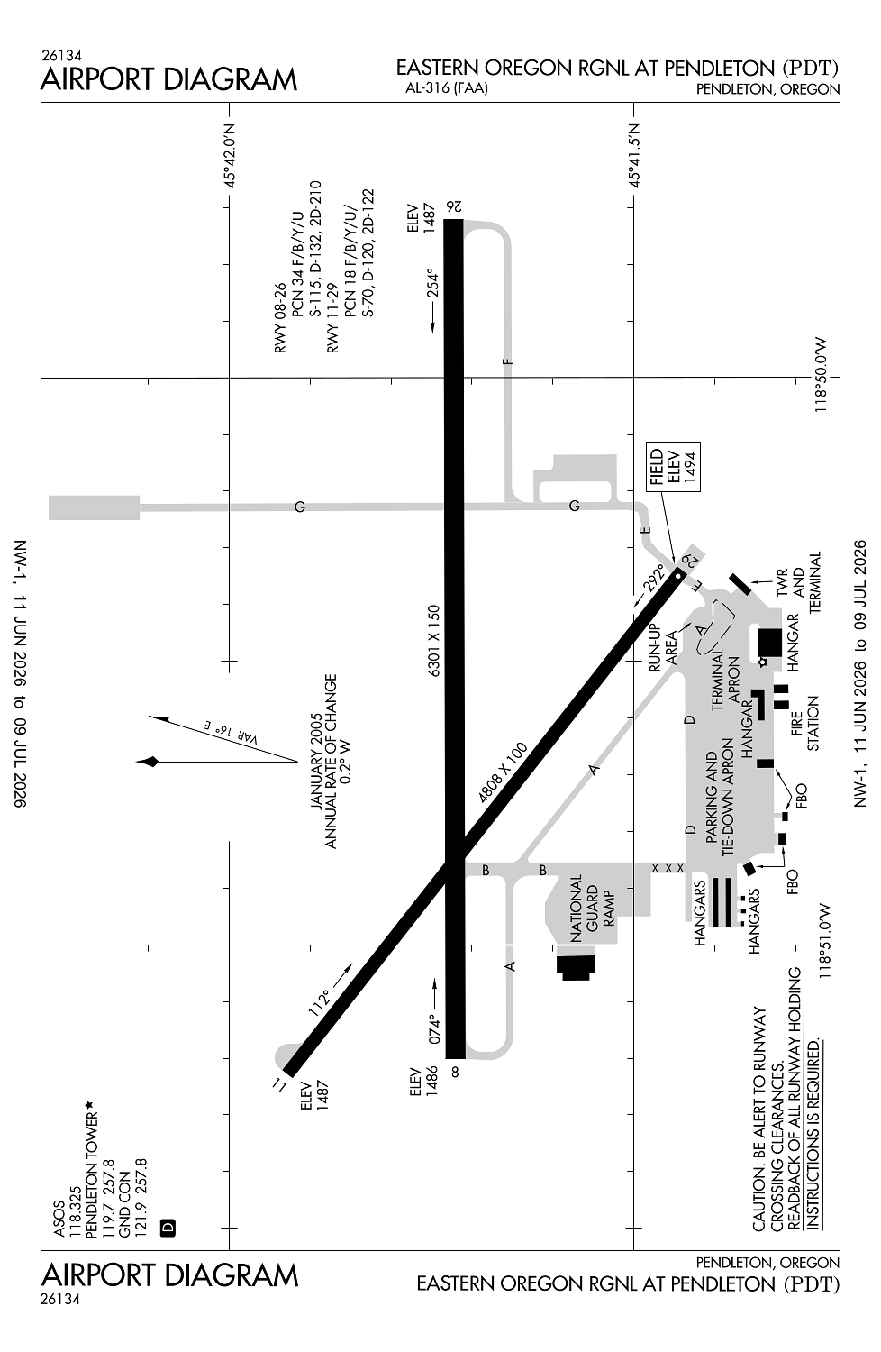
Runway 08/26:
6,301ft
Runway 11/29:
4,808ft
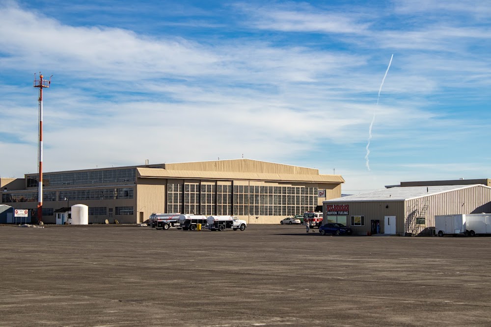
Access: Open to the public
Similar Airports

Current Weather — VFR
-
Weather data is strictly informational and not for flight planning purposes.
-
METAR2026-07-15 14:53:00 PDT
Ceiling: Sky clear Wind: 040° @ 9kt, gusts 18kt Temperature: 96°F Dewpoint: 42°F Weather: N/A Visbility: 10SM Raw:METAR KPDT 152153Z 04009G18KT 10SM CLR 36/06 A2992 RMK AO2 SLP113 T03610061 -
TAF2026-07-15 11:00:00 PDT – 2026-07-15 15:00:00 PDT
Ceiling: Sky clear Wind: 340° @ 8kt Weather: N/A Visbility: 6SM Clouds: @ ft Raw:TAF KPDT 151723Z 1518/1618 34008KT P6SM SKC FM152200 03009KT P6SM SCT120 SCT250 FM160600 VRB06KT P6SM SCT120 SCT250 -
TAF2026-07-15 15:00:00 PDT – 2026-07-15 23:00:00 PDT
Ceiling: Sky clear Wind: 030° @ 9kt Weather: N/A Visbility: 6SM Clouds: Scattered @ 12,000ft, Scattered @ 25,000ft Raw:TAF KPDT 151723Z 1518/1618 34008KT P6SM SKC FM152200 03009KT P6SM SCT120 SCT250 FM160600 VRB06KT P6SM SCT120 SCT250 -
TAF2026-07-15 23:00:00 PDT – 2026-07-16 11:00:00 PDT
Ceiling: Sky clear Wind: Variable Weather: N/A Visbility: 6SM Clouds: Scattered @ 12,000ft, Scattered @ 25,000ft Raw:TAF KPDT 151723Z 1518/1618 34008KT P6SM SKC FM152200 03009KT P6SM SCT120 SCT250 FM160600 VRB06KT P6SM SCT120 SCT250
Click/tap to add an annotation marker to the map
No webcams added yet.
Remarks
- Estabd prior to 1959 /1934/.
- Clsd to unsked acr opn with more than 30 psgr seats excp ppr 4 hrs call 541-276-4411.
- Int of ramp & rwy 29 north end of trml bldg; area obstd from view of twr by trml bldg.
- Twy b clsd south of twy a.
- Deer on & invof arpt apr and aug, especially mornings and evenings.
Comments