Pirep is a free, collaborative database of all public and private airports. All pilots are welcome to contribute their local knowledge to any airport, no registration required.
Public
Undocumented
METAR / TAF
Edit Tags
No upcoming events. Is anything happening here soon?
Airport Statistics
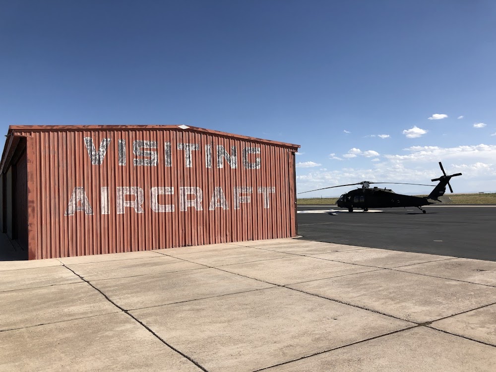
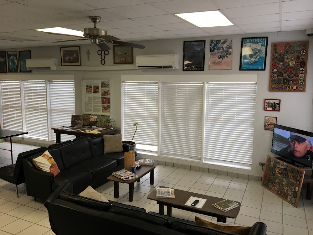
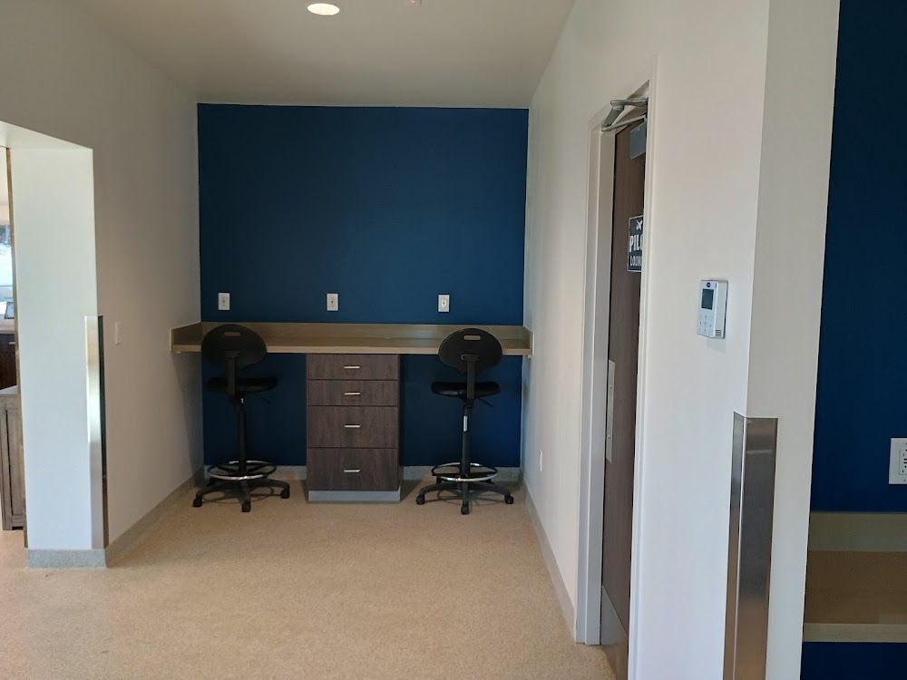
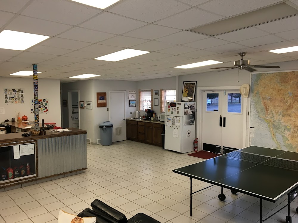
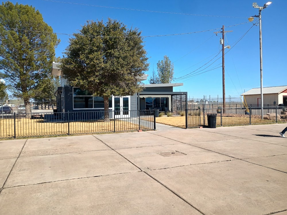
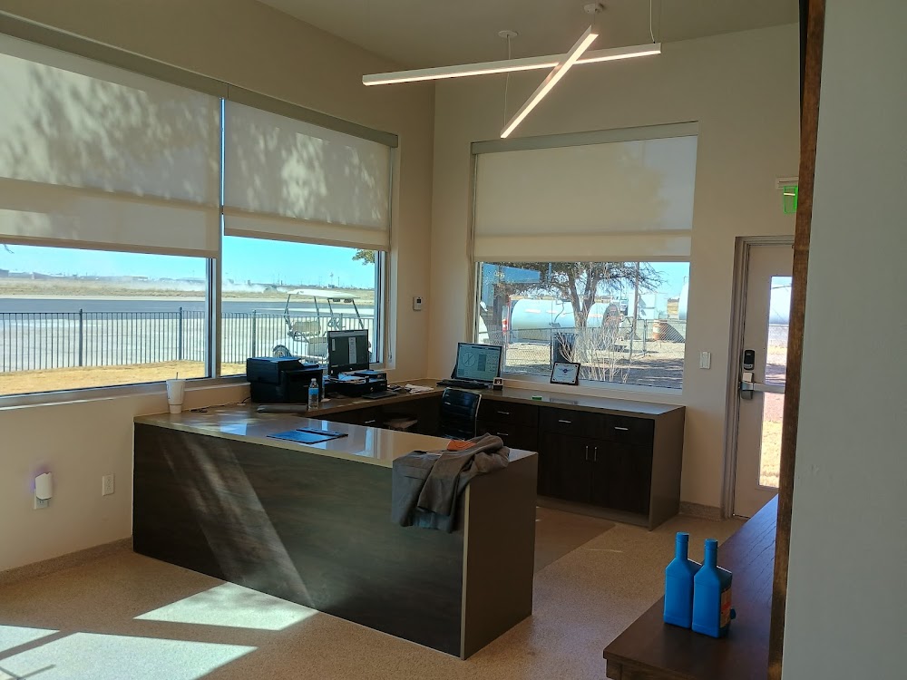
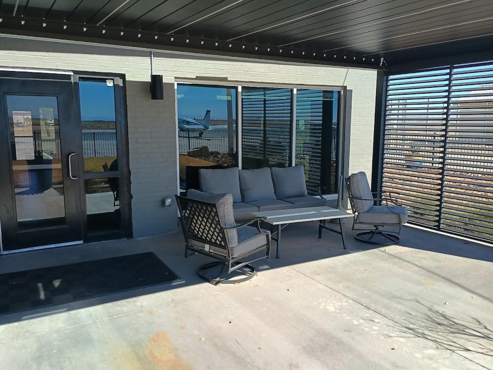
- General description
- Fuel pump location
- Airport photos
Location:
Pecos, TX
Elevation:
2,613ft
Sectional:
El Paso
Activation date:
Sep 1938
Fuel:
100LL, A1+ (prices)
Runway 14/32:
6,236ft
Runway 09/27:
5,953ft
Access: Open to the public
Current Weather — VFR
-
Weather data is strictly informational and not for flight planning purposes.
-
METAR2026-07-20 13:15:00 CDT
Ceiling: Sky clear Wind: 130° @ 7kt Temperature: 79°F Dewpoint: 65°F Weather: N/A Visbility: 10SM Raw:METAR KPEQ 201815Z AUTO 13007KT 10SM CLR 26/19 A3002 RMK AO2 LTG DSNT S T02620188 PWINO -
TAF2026-07-20 13:00:00 CDT – 2026-07-20 21:00:00 CDT
Ceiling: 25,000ft Wind: 180° @ 9kt Weather: N/A Visbility: 6SM Clouds: Scattered @ 6,000ft, Overcast @ 25,000ft Raw:TAF KPEQ 201720Z 2018/2118 18009KT P6SM SCT060 OVC250 FM210200 15005KT P6SM OVC200 FM211200 VRB03KT P6SM SCT250 FM211600 07006KT P6SM SCT045 SCT250 -
TAF2026-07-20 21:00:00 CDT – 2026-07-21 07:00:00 CDT
Ceiling: 20,000ft Wind: 150° @ 5kt Weather: N/A Visbility: 6SM Clouds: Overcast @ 20,000ft Raw:TAF KPEQ 201720Z 2018/2118 18009KT P6SM SCT060 OVC250 FM210200 15005KT P6SM OVC200 FM211200 VRB03KT P6SM SCT250 FM211600 07006KT P6SM SCT045 SCT250 -
TAF2026-07-21 07:00:00 CDT – 2026-07-21 11:00:00 CDT
Ceiling: Sky clear Wind: Variable Weather: N/A Visbility: 6SM Clouds: Scattered @ 25,000ft Raw:TAF KPEQ 201720Z 2018/2118 18009KT P6SM SCT060 OVC250 FM210200 15005KT P6SM OVC200 FM211200 VRB03KT P6SM SCT250 FM211600 07006KT P6SM SCT045 SCT250 -
TAF2026-07-21 11:00:00 CDT – 2026-07-21 13:00:00 CDT
Ceiling: Sky clear Wind: 070° @ 6kt Weather: N/A Visbility: 6SM Clouds: Scattered @ 4,500ft, Scattered @ 25,000ft Raw:TAF KPEQ 201720Z 2018/2118 18009KT P6SM SCT060 OVC250 FM210200 15005KT P6SM OVC200 FM211200 VRB03KT P6SM SCT250 FM211600 07006KT P6SM SCT045 SCT250
Click/tap to add an annotation marker to the map
No webcams added yet.
Remarks
- This airport has been surveyed by the national geodetic survey.
- For cd if una to ctc on fss freq, ctc albuquerque artcc at 505-856-4561.
- Mirl ry 14/32 preset low intst; to incr intst & actvt mirl ry 09/27 - ctaf. papi rys 14 & 32 operates continuously.
- For fuel after hours ctc unicom 122.8 or call 432-447-2488.
- Papi ots
- Mirls nstd 20 ft from pvmnt edge.
Comments