Pirep is a free, collaborative database of all public and private airports. All pilots are welcome to contribute their local knowledge to any airport, no registration required.

Public
METAR / TAF
Edit Tags
No upcoming events. Is anything happening here soon?
Last updated: 2023-04-18 08:23:28 HST
Last updated: 2023-04-18 08:23:28 HST
Airport Statistics
- Tags
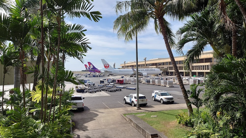
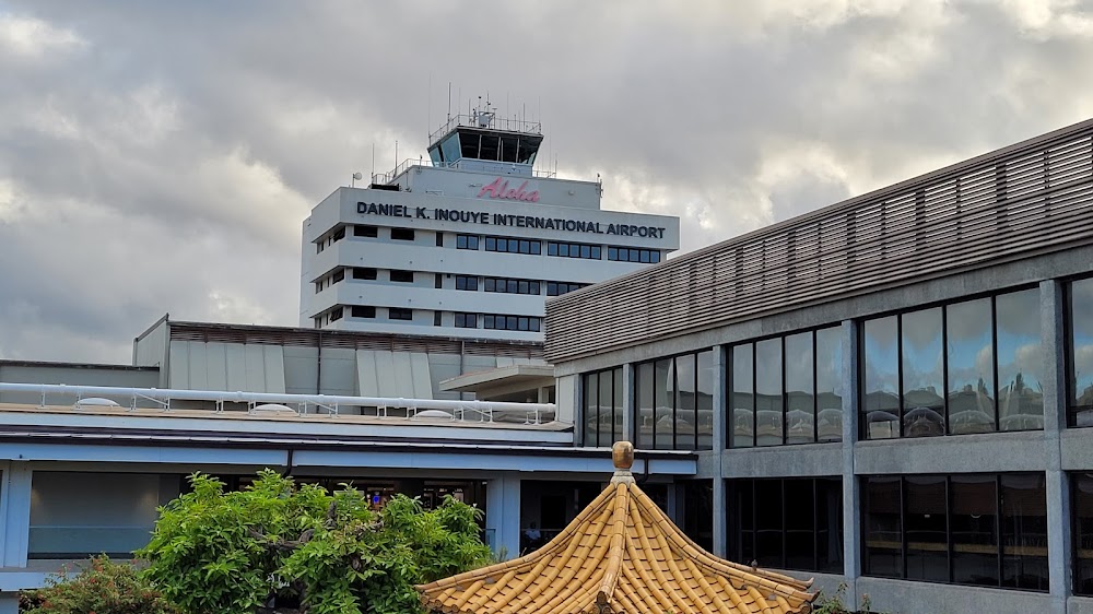
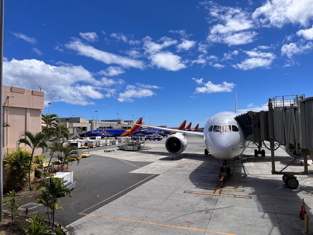
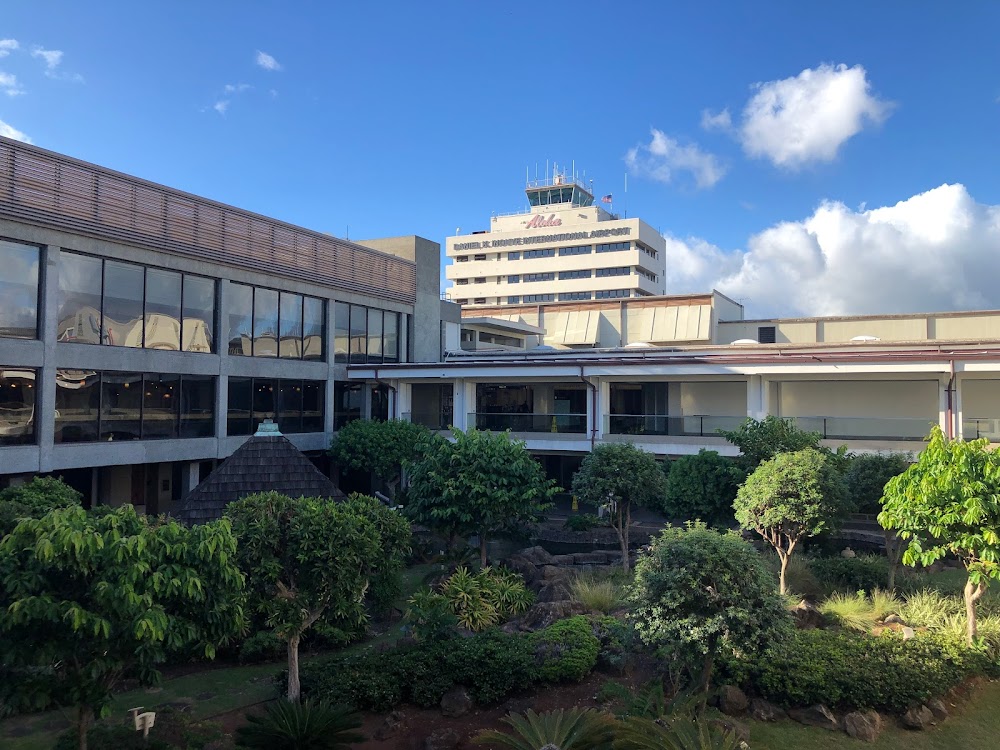
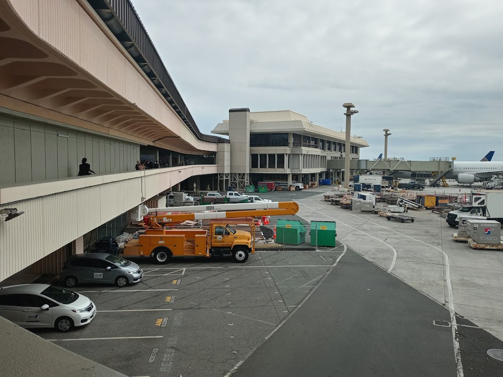
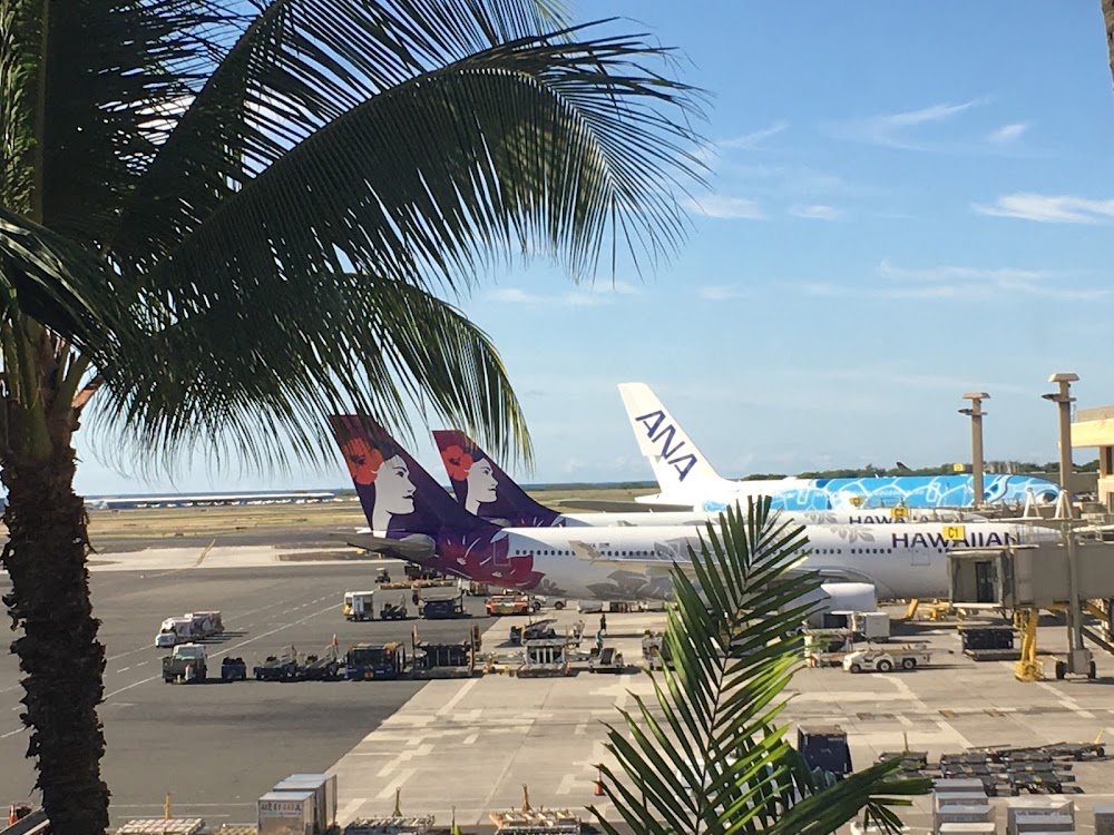
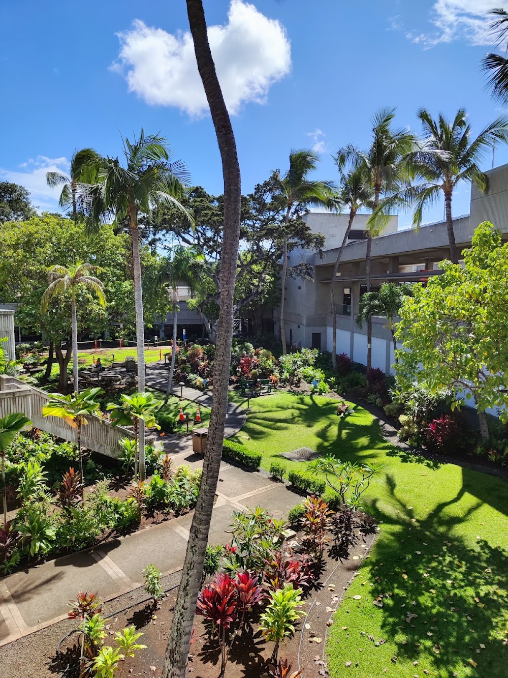
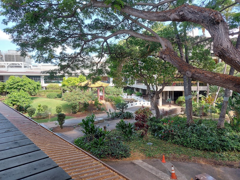
- Airport photos
- Webcam links
Location:
Honolulu, HI
Elevation:
13ft
Sectional:
Hawaiian Islands
Activation date:
Feb 1938
Fuel:
100, A, A1+ (prices)
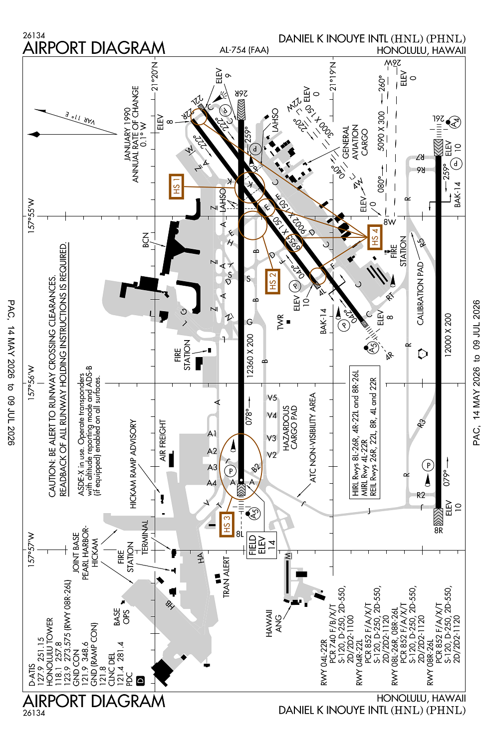
Runway 08L/26R:
12,360ft
Runway 08R/26L:
12,000ft
Runway 04R/22L:
9,002ft
Runway 04L/22R:
6,955ft
Runway 08W/26W:
5,090ft
Runway 04W/22W:
3,000ft
Access: Open to the public
Current Weather — VFR
-
Weather data is strictly informational and not for flight planning purposes.
-
METAR2026-06-14 01:53:00 HST
Ceiling: Sky clear Wind: 310° @ 6kt Temperature: 73°F Dewpoint: 64°F Weather: N/A Visbility: 10SM Clouds: Few @ 2,500ft Raw:METAR PHNL 141153Z 31006KT 10SM FEW025 23/18 A2996 RMK AO2 SLP145 T02280178 10250 20228 58014 $ -
TAF2026-06-14 02:00:00 HST – 2026-06-14 10:00:00 HST
Ceiling: Sky clear Wind: 340° @ 5kt Weather: N/A Visbility: 6SM Clouds: Few @ 3,000ft, Few @ 4,500ft Raw:TAF PHNL 141121Z 1412/1518 34005KT P6SM FEW030 FEW045 FM142000 05011KT P6SM SCT030 BKN050 FM150600 03006KT P6SM SCT030 BKN045 -
TAF2026-06-14 10:00:00 HST – 2026-06-14 20:00:00 HST
Ceiling: 5,000ft Wind: 050° @ 11kt Weather: N/A Visbility: 6SM Clouds: Scattered @ 3,000ft, Broken @ 5,000ft Raw:TAF PHNL 141121Z 1412/1518 34005KT P6SM FEW030 FEW045 FM142000 05011KT P6SM SCT030 BKN050 FM150600 03006KT P6SM SCT030 BKN045 -
TAF2026-06-14 20:00:00 HST – 2026-06-15 08:00:00 HST
Ceiling: 4,500ft Wind: 030° @ 6kt Weather: N/A Visbility: 6SM Clouds: Scattered @ 3,000ft, Broken @ 4,500ft Raw:TAF PHNL 141121Z 1412/1518 34005KT P6SM FEW030 FEW045 FM142000 05011KT P6SM SCT030 BKN050 FM150600 03006KT P6SM SCT030 BKN045
Click/tap to add an annotation marker to the map
No webcams added yet.
Remarks
- (joint base pearl harbor-hickam)
- Rmn at least 1 mile off shore of waikiki diamond head koko head & ewa beach. arr rwy 08l; fly ils apch proc or a close-in base leg rmng over cntr of pearl harbor chnl. arr 26l/r; rnm at tfc pat alts as long as psbl bfr bgng dscnt for lndg.
- Ppr fm amgr for transporation of class a or b explos in and/or out of hnl.
- Due to non-visibility twr una to dtrm if the flwg areas are clear of obstns and/or tfc: ptns of twy j btn twy b & rwy 08r; ptns of inter-island acft prkg ramp.
- Due to location of atct, controllers unable to determine whether acft are on correct final apch to rys 04l-04r and 22l-22r.
This airport needs to be 3 airports.