Pirep is a free, collaborative database of all public and private airports. All pilots are welcome to contribute their local knowledge to any airport, no registration required.

Public
Undocumented
METAR / TAF
Edit Tags
No upcoming events. Is anything happening here soon?
Airport Statistics
- Crew car availability
- Local flying clubs
- Webcam links
Location:
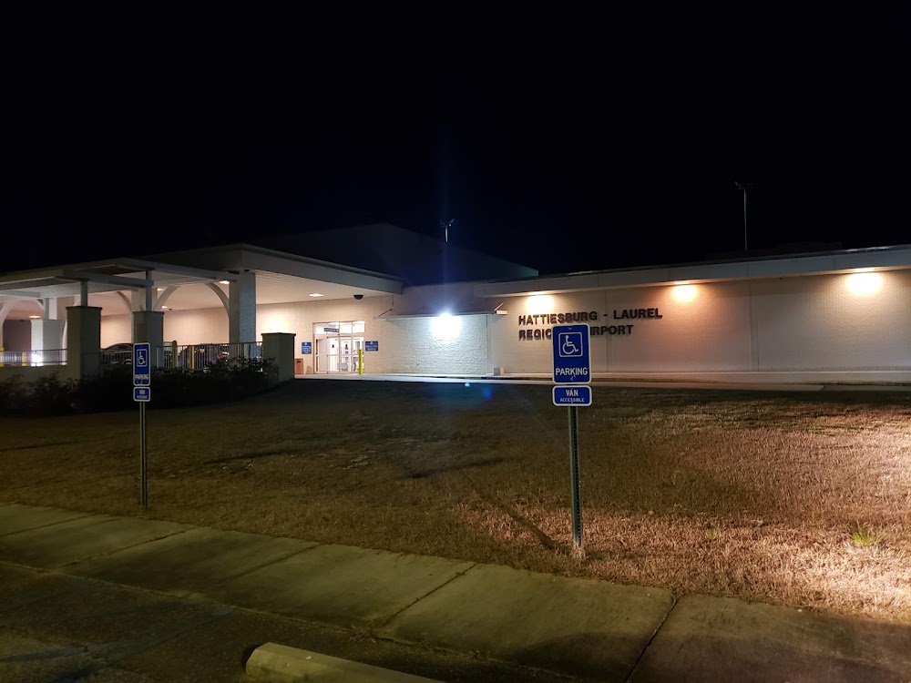
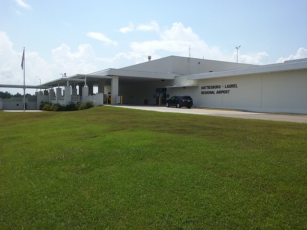
Hattiesburg Laurel, MS
Elevation:
297ft
Sectional:
New Orleans
Activation date:
May 1974
Fuel:
100, A (prices)
Runway 18/36:
6,503ft
Access: Open to the public
Current Weather — VFR
-
Weather data is strictly informational and not for flight planning purposes.
-
METAR2026-07-16 07:56:00 CDT
Ceiling: Sky clear Wind: Calm Temperature: 75°F Dewpoint: 73°F Weather: N/A Visbility: 10SM Raw:METAR KPIB 161256Z AUTO 00000KT 10SM CLR 24/23 A3017 RMK AO2 SLP213 T02440233 $ -
TAF2026-07-16 07:00:00 CDT – 2026-07-16 08:00:00 CDT
Ceiling: Sky clear Wind: Calm Weather: Mist Visbility: 4SM Clouds: Few @ 200ft, Scattered @ 15,000ft Raw:TAF KPIB 161129Z 1612/1712 00000KT 4SM BR FEW002 SCT150 FM161300 24005KT P6SM FEW050 SCT150 -
TAF2026-07-16 08:00:00 CDT – 2026-07-17 07:00:00 CDT
Ceiling: Sky clear Wind: 240° @ 5kt Weather: N/A Visbility: 6SM Clouds: Few @ 5,000ft, Scattered @ 15,000ft Raw:TAF KPIB 161129Z 1612/1712 00000KT 4SM BR FEW002 SCT150 FM161300 24005KT P6SM FEW050 SCT150
Click/tap to add an annotation marker to the map
No webcams added yet.
Remarks
- This airport has been surveyed by the national geodetic survey.
- Clsd to acr ops with more than 30 pax seats excp 24 hr ppr, call arpt mgr 601-545-3111.
- For cd ctc houston artcc at 281-230-5622.
- Actvt malsr rwy 18; reils rwy 18 & 36; hirl rwy 18/36 - ctaf. hirl rwy 18/36 preset to med intst, to incrs intst - ctaf. papis rwy 18 & 36 opr consly.
- Hattiesburg-laurel regional airport authority.
- Pcr value: 860/f/c/x/t
Comments