Pirep is a free, collaborative database of all public and private airports. All pilots are welcome to contribute their local knowledge to any airport, no registration required.


Public
Undocumented
METAR / TAF
Edit Tags
No upcoming events. Is anything happening here soon?
Airport Statistics
- Fuel pump location
- Airport map annotations
- WiFi availability
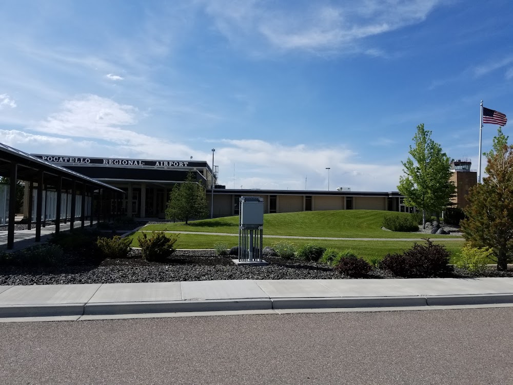
Location:
Pocatello, ID
Elevation:
4,451ft
Sectional:
Salt Lake City
Activation date:
Feb 1944
Fuel:
100LL, A1, A1+ (prices)
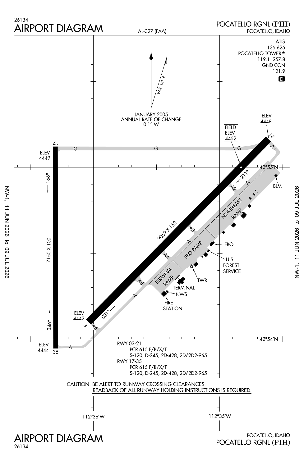
Runway 03/21:
9,059ft
Runway 17/35:
7,150ft
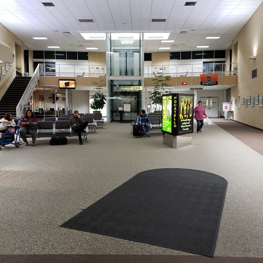
Access: Open to the public
Current Weather — VFR
-
Weather data is strictly informational and not for flight planning purposes.
-
METAR2026-07-15 18:53:00 MDT
Ceiling: Sky clear Wind: 320° @ 4kt Temperature: 89°F Dewpoint: 51°F Weather: N/A Visbility: 10SM Raw:METAR KPIH 160053Z 32004KT 10SM CLR 32/11 A3002 RMK AO2 SLP104 T03170111 -
TAF2026-07-15 18:00:00 MDT – 2026-07-15 21:00:00 MDT
Ceiling: 15,000ft Wind: 250° @ 11kt Weather: N/A Visbility: 6SM Clouds: Scattered @ 12,000ft, Broken @ 15,000ft Raw:TAF KPIH 152326Z 1600/1624 25011KT P6SM SCT120 BKN150 FM160300 VRB06KT P6SM FEW150 FM162100 26010KT P6SM FEW080 SCT120 -
TAF2026-07-15 21:00:00 MDT – 2026-07-16 15:00:00 MDT
Ceiling: Sky clear Wind: Variable Weather: N/A Visbility: 6SM Clouds: Few @ 15,000ft Raw:TAF KPIH 152326Z 1600/1624 25011KT P6SM SCT120 BKN150 FM160300 VRB06KT P6SM FEW150 FM162100 26010KT P6SM FEW080 SCT120 -
TAF2026-07-16 15:00:00 MDT – 2026-07-16 18:00:00 MDT
Ceiling: Sky clear Wind: 260° @ 10kt Weather: N/A Visbility: 6SM Clouds: Few @ 8,000ft, Scattered @ 12,000ft Raw:TAF KPIH 152326Z 1600/1624 25011KT P6SM SCT120 BKN150 FM160300 VRB06KT P6SM FEW150 FM162100 26010KT P6SM FEW080 SCT120
Click/tap to add an annotation marker to the map
No webcams added yet.
Remarks
- 72 hrs ppr for unsked acr opns with more than 30 pax seats call admin 208-234-6154 or ops 208-241-7949.
- Flocks of waterfowl in vcnty arpt.
- Radio controlled acft 1 mi e of arpt blo 400 ft agl.
- Twy 'g' has no edge lights or reflectors, restricted to day use only.
- Afld cond unmon 2330-0600 dly exc acr opns and 24-hr ppr 208-234-6154 or 208-241-7949. adnl fees apply.
Comments