Pirep is a free, collaborative database of all public and private airports. All pilots are welcome to contribute their local knowledge to any airport, no registration required.
Public
Undocumented
METAR / TAF
Webcam
Edit Tags
No upcoming events. Is anything happening here soon?
Airport Statistics
- Crew car availability
- Local flying clubs
- Tags
Location:
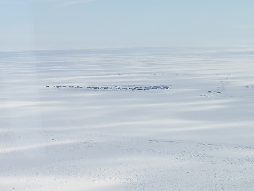
Point Lay, AK
Elevation:
28ft
Sectional:
Cape Lisburne
Activation date:
Mar 1960
Fuel:
None
Runway 05/23:
4,500ft
Runway 06/24:
4,500ft
Access: Open to the public
Click/tap to add an annotation marker to the map
Remarks
- Actvt rotg bcn - ctaf.
- Wx camera avbl on internet at https://weathercams.faa.gov
- Barrow fss - 1-800-779-7709 or 907-852-2511.
- Cold temperature airport. altitude correction required at or below -33c.
- Actvt reil rwy 06 & 24; papi rwy 06 & 24; mirl rwy 06/24 - ctaf.
Comments