Pirep is a free, collaborative database of all public and private airports. All pilots are welcome to contribute their local knowledge to any airport, no registration required.
No upcoming events. Is anything happening here soon?
Last updated: 2023-05-25 03:02:54 EDT
Airport Statistics
- Webcam links
- Crew car availability
- WiFi availability
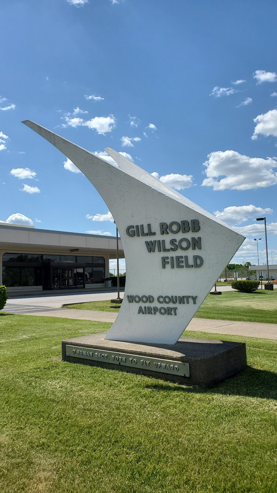
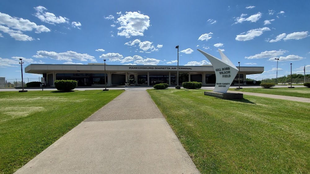
Location:
Parkersburg, WV
Elevation:
858ft
Sectional:
Cincinnati
Activation date:
Oct 1938
Fuel:
100LL, A (prices)
Runway 03/21:
7,240ft
Runway 10/28:
4,002ft
Access: Open to the public
Similar Airports
Current Weather — VFR
-
Weather data is strictly informational and not for flight planning purposes.
-
METAR2026-07-15 21:53:00 EDT
Ceiling: Sky clear Wind: 190° @ 5kt Temperature: 78°F Dewpoint: 71°F Weather: Haze Visbility: 6SM Raw:METAR KPKB 160153Z 19005KT 6SM HZ CLR 26/22 A3004 RMK AO2 SLP164 T02560222 -
TAF2026-07-15 20:00:00 EDT – 2026-07-16 03:00:00 EDT
Ceiling: Sky clear Wind: Calm Weather: N/A Visbility: 6SM Clouds: Few @ 25,000ft Raw:TAF KPKB 152332Z 1600/1624 00000KT P6SM FEW250 FM160700 00000KT 4SM BR FEW100 FM160900 00000KT 2SM BR SCT020 FM161000 00000KT 4SM BR SCT070 FM161500 00000KT P6SM SCT240 FM161800 28004KT P6SM SCT180 -
TAF2026-07-16 03:00:00 EDT – 2026-07-16 05:00:00 EDT
Ceiling: Sky clear Wind: Calm Weather: Mist Visbility: 4SM Clouds: Few @ 10,000ft Raw:TAF KPKB 152332Z 1600/1624 00000KT P6SM FEW250 FM160700 00000KT 4SM BR FEW100 FM160900 00000KT 2SM BR SCT020 FM161000 00000KT 4SM BR SCT070 FM161500 00000KT P6SM SCT240 FM161800 28004KT P6SM SCT180 -
TAF2026-07-16 05:00:00 EDT – 2026-07-16 06:00:00 EDT
Ceiling: Sky clear Wind: Calm Weather: Mist Visbility: 2SM Clouds: Scattered @ 2,000ft Raw:TAF KPKB 152332Z 1600/1624 00000KT P6SM FEW250 FM160700 00000KT 4SM BR FEW100 FM160900 00000KT 2SM BR SCT020 FM161000 00000KT 4SM BR SCT070 FM161500 00000KT P6SM SCT240 FM161800 28004KT P6SM SCT180 -
TAF2026-07-16 06:00:00 EDT – 2026-07-16 11:00:00 EDT
Ceiling: Sky clear Wind: Calm Weather: Mist Visbility: 4SM Clouds: Scattered @ 7,000ft Raw:TAF KPKB 152332Z 1600/1624 00000KT P6SM FEW250 FM160700 00000KT 4SM BR FEW100 FM160900 00000KT 2SM BR SCT020 FM161000 00000KT 4SM BR SCT070 FM161500 00000KT P6SM SCT240 FM161800 28004KT P6SM SCT180 -
TAF2026-07-16 11:00:00 EDT – 2026-07-16 14:00:00 EDT
Ceiling: Sky clear Wind: Calm Weather: N/A Visbility: 6SM Clouds: Scattered @ 24,000ft Raw:TAF KPKB 152332Z 1600/1624 00000KT P6SM FEW250 FM160700 00000KT 4SM BR FEW100 FM160900 00000KT 2SM BR SCT020 FM161000 00000KT 4SM BR SCT070 FM161500 00000KT P6SM SCT240 FM161800 28004KT P6SM SCT180 -
TAF2026-07-16 14:00:00 EDT – 2026-07-16 20:00:00 EDT
Ceiling: Sky clear Wind: 280° @ 4kt Weather: N/A Visbility: 6SM Clouds: Scattered @ 18,000ft Raw:TAF KPKB 152332Z 1600/1624 00000KT P6SM FEW250 FM160700 00000KT 4SM BR FEW100 FM160900 00000KT 2SM BR SCT020 FM161000 00000KT 4SM BR SCT070 FM161500 00000KT P6SM SCT240 FM161800 28004KT P6SM SCT180
Click/tap to add an annotation marker to the map

No webcams added yet.
Remarks
- Ppr 30 min for unscheduled acr opns with more than 30 psgr seats; call amgr (304) 464-5115.
- Birds & deer on & invof arpt.
- No landing fee for acft less than 6500 lbs; for acft greater than 6500, lndg fee waived with fuel purchases.
- Arng ops dsn 661-3400 c304-464-4530.
- When atct clsd, for cd ctc indianapolis artcc at 317-247-2411.
Comments