Pirep is a free, collaborative database of all public and private airports. All pilots are welcome to contribute their local knowledge to any airport, no registration required.

Public
Undocumented
METAR / TAF
Edit Tags
No upcoming events. Is anything happening here soon?
Airport Statistics
- General description
- Transient parking location
- Local flying clubs
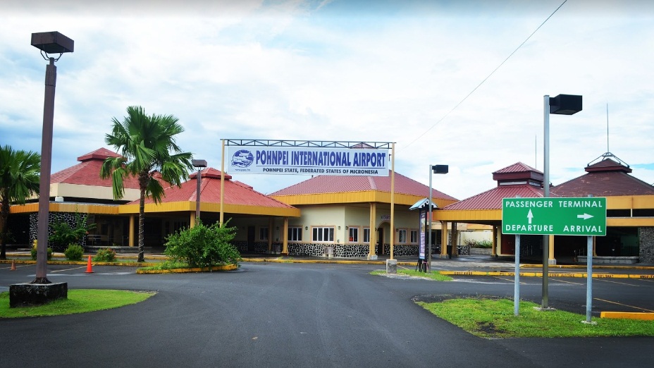
Location:
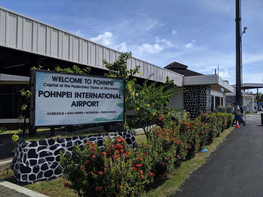
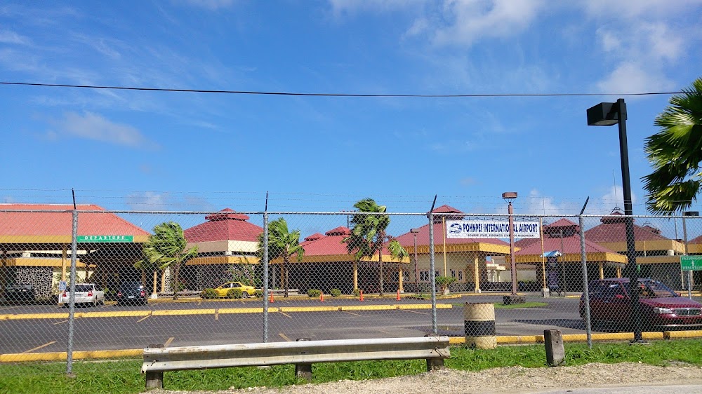
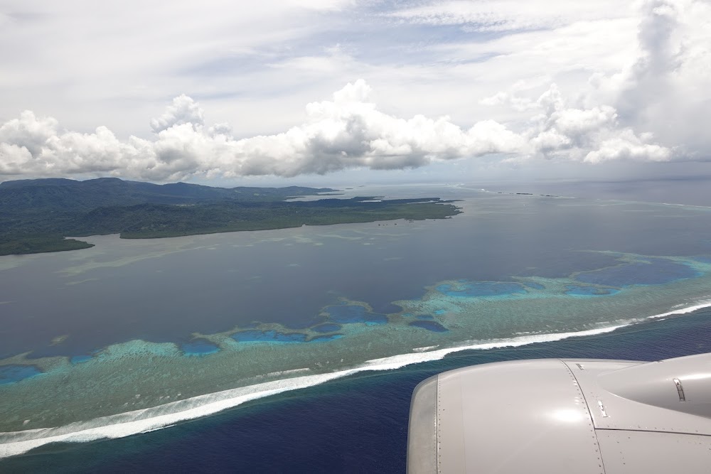
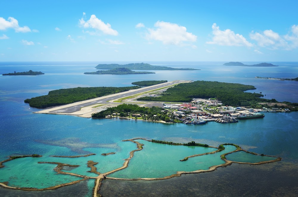
Pohnpei Island, FM
Elevation:
8ft
Activation date:
Jan 1970
Fuel:
100, 100LL, A1+ (prices)
Runway 09/27:
6,600ft
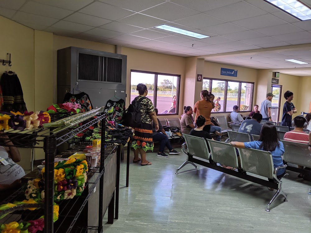
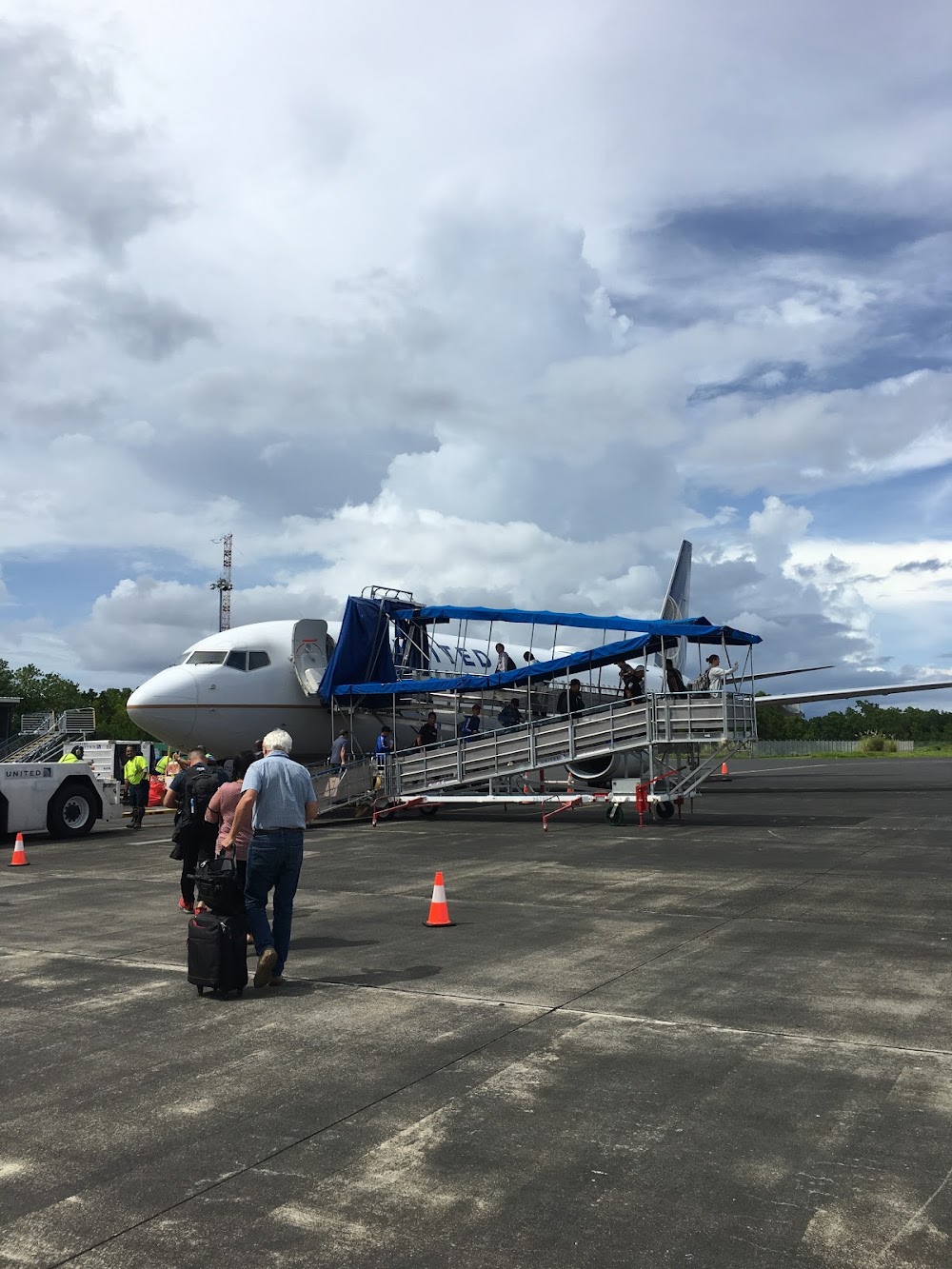
Access: Open to the public
Click/tap to add an annotation marker to the map
No webcams added yet.
Remarks
- Apts in tt not subj to faa regs, airspace analysis not required.
- For rotg bcn ctc pohnpei radio freq 123.6.
- Ppr for landing to be filed 48 hr in advance with fsm secretary of transportation, communications & infrastructure.
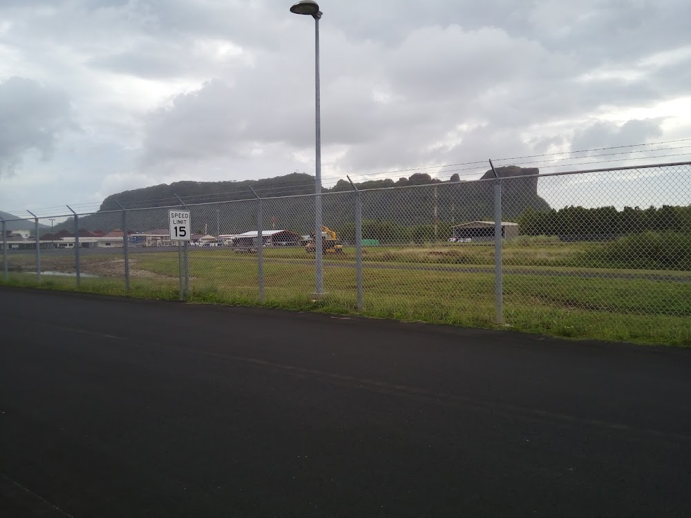
- <110' lgtd twr lctd 06-58-58n lat 158-12-32e long.
- <lgtd 662' peipalap peak 4900' sw rwy 9 thr. obstn lgt lctd 06-58-40n lat 158-11-53e long.
- Be alert to ships with max ht of 150 ft in ponape channel 400 ft off rwy 09. for advisory ctc ponape radio prior to final apch or dep.
- Please see fsm dotc&i: div. of civil aviation's website for procedures and forms used to request ppr into fsm; http://www.ict.fm/civilaviation/forms.html.
- Actvt mirl ry 09/27 & twy lgts - ctaf. for papi rys 09 & 27, reil rys 09 & 27, windcone lgts ctc pohnpei radio freq 123.6.
Comments