Pirep is a free, collaborative database of all public and private airports. All pilots are welcome to contribute their local knowledge to any airport, no registration required.

Public
Undocumented
METAR / TAF
Edit Tags
No upcoming events. Is anything happening here soon?
Airport Statistics
- Landing & tie-down fees
- WiFi availability
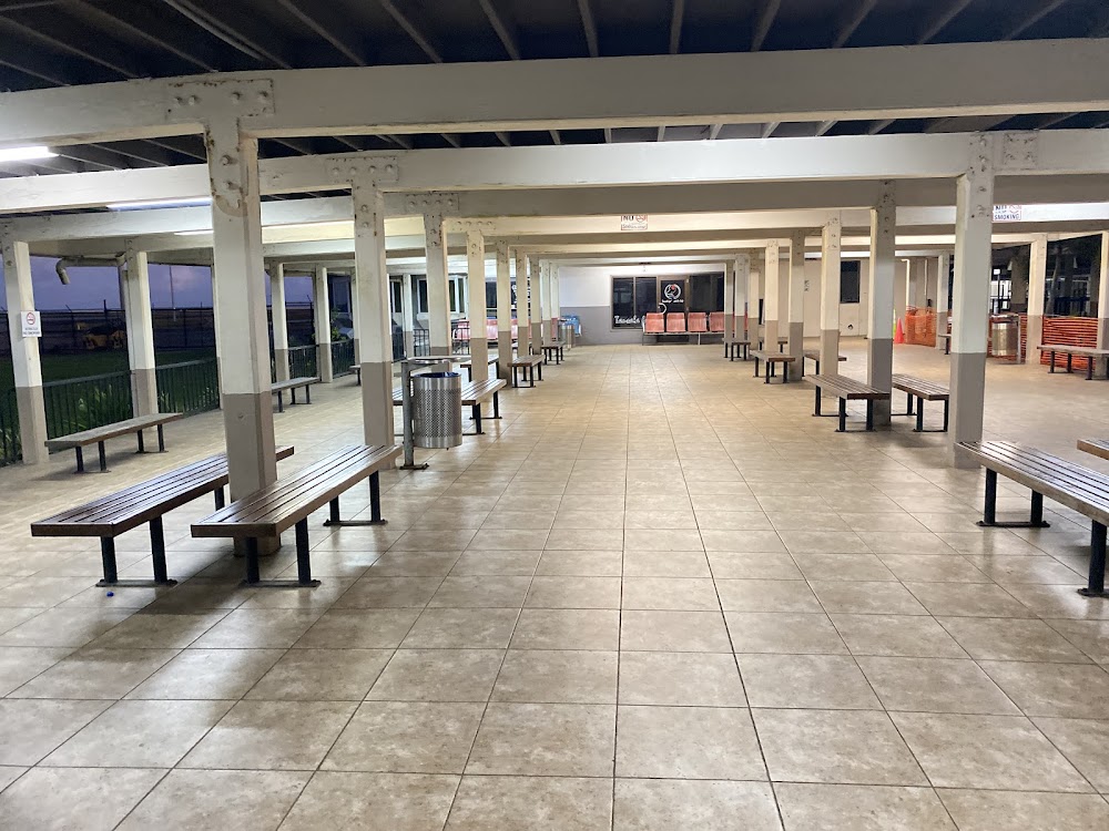
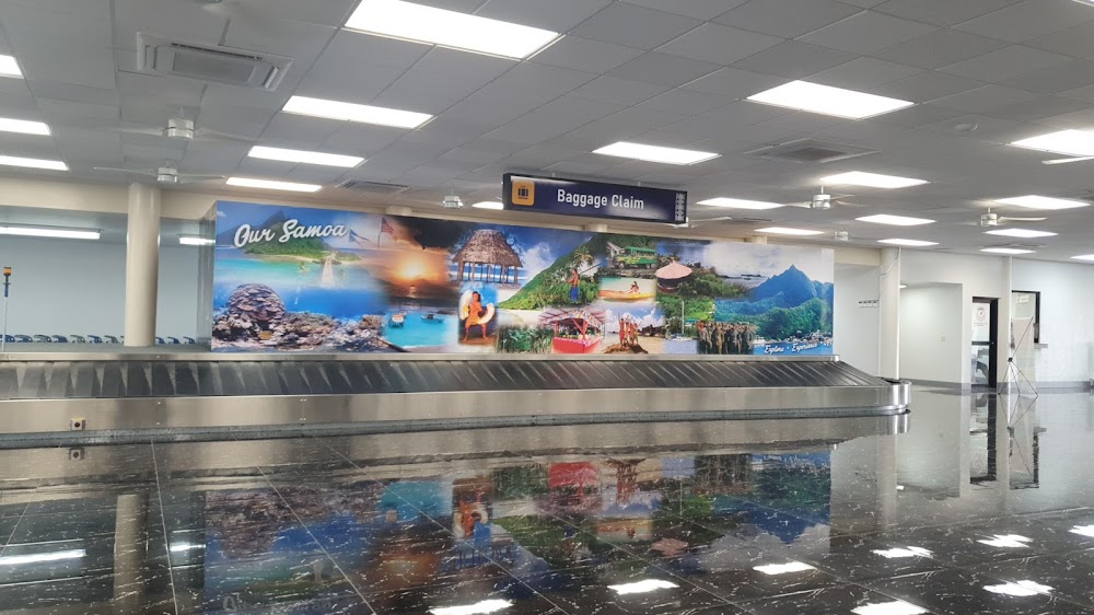
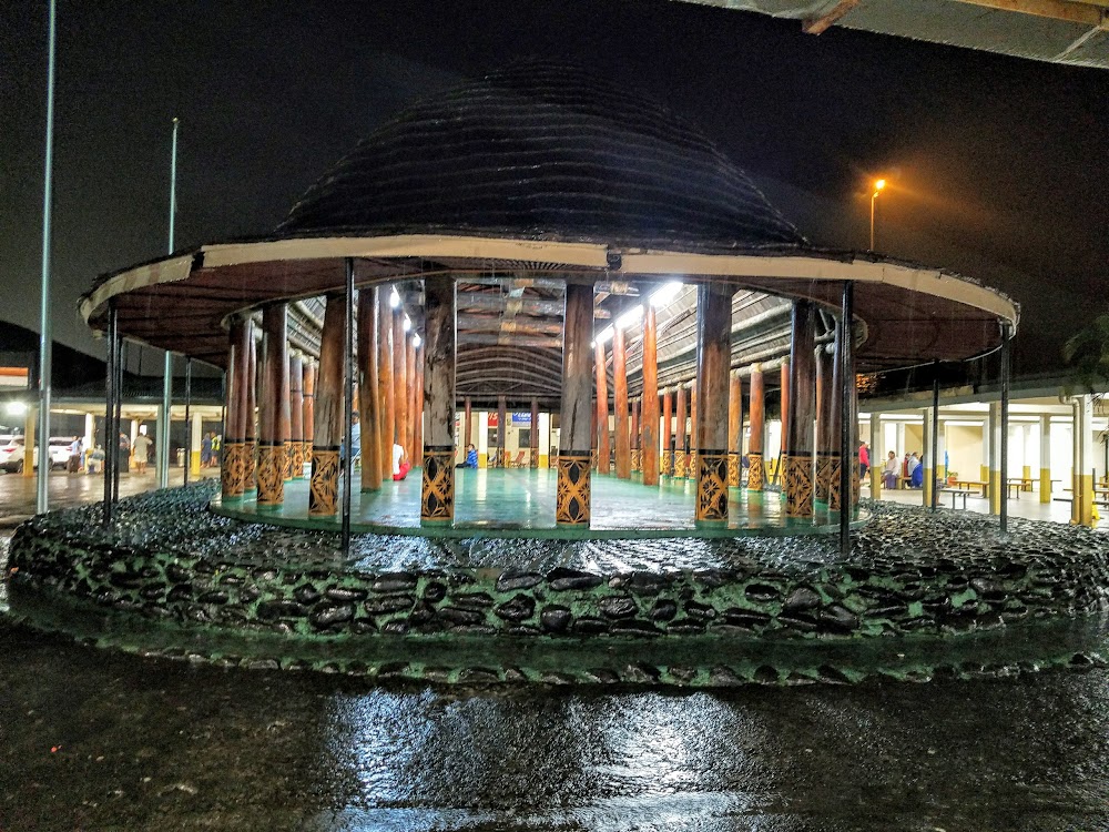
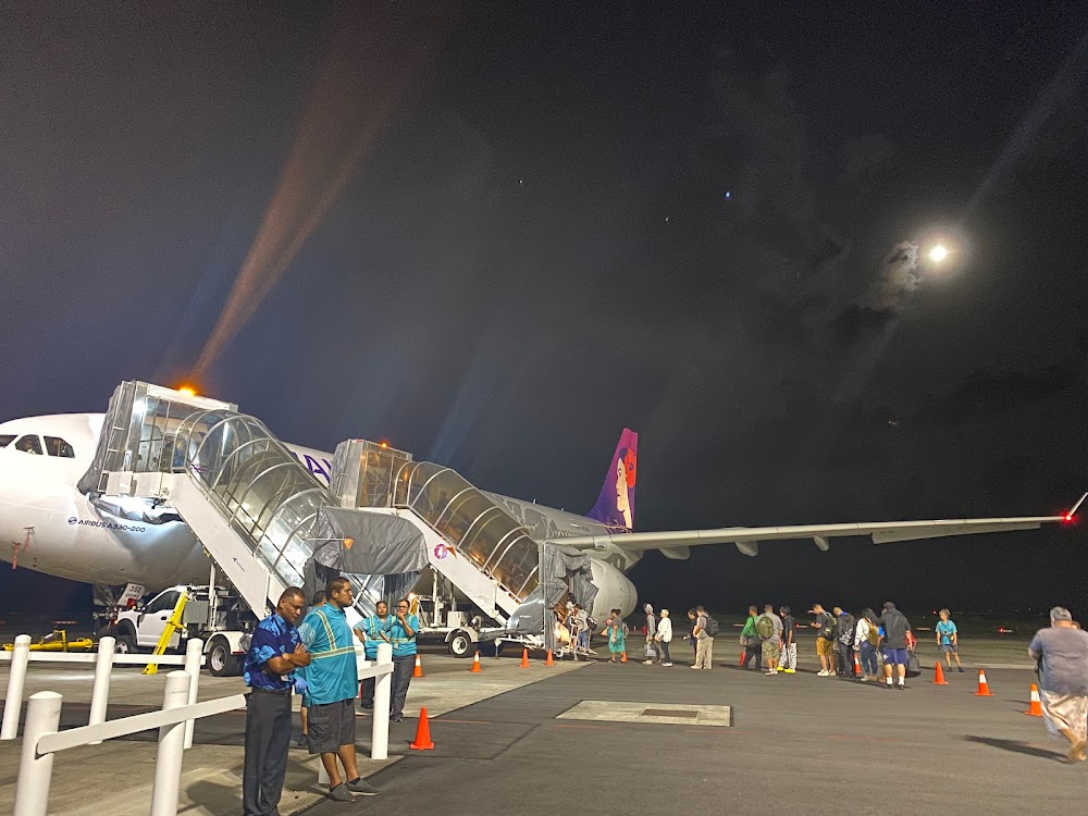
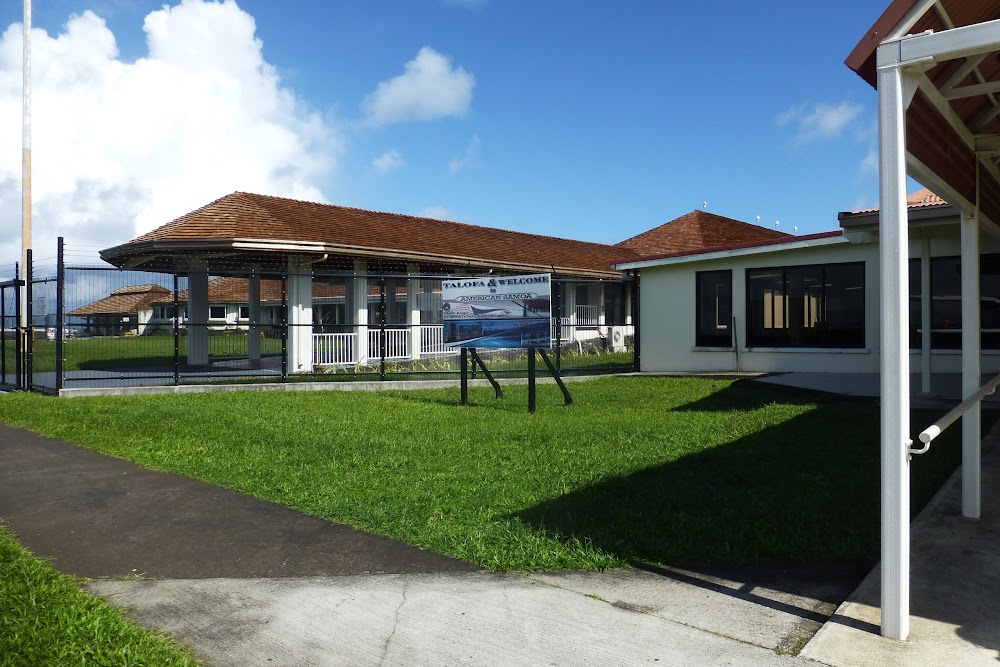
- Airport photos
Location:
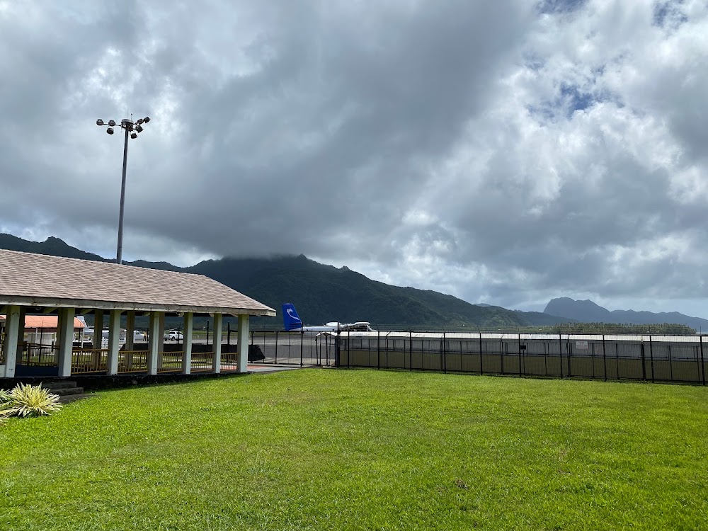
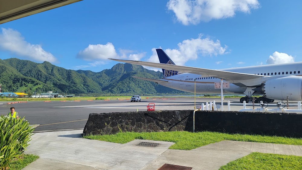
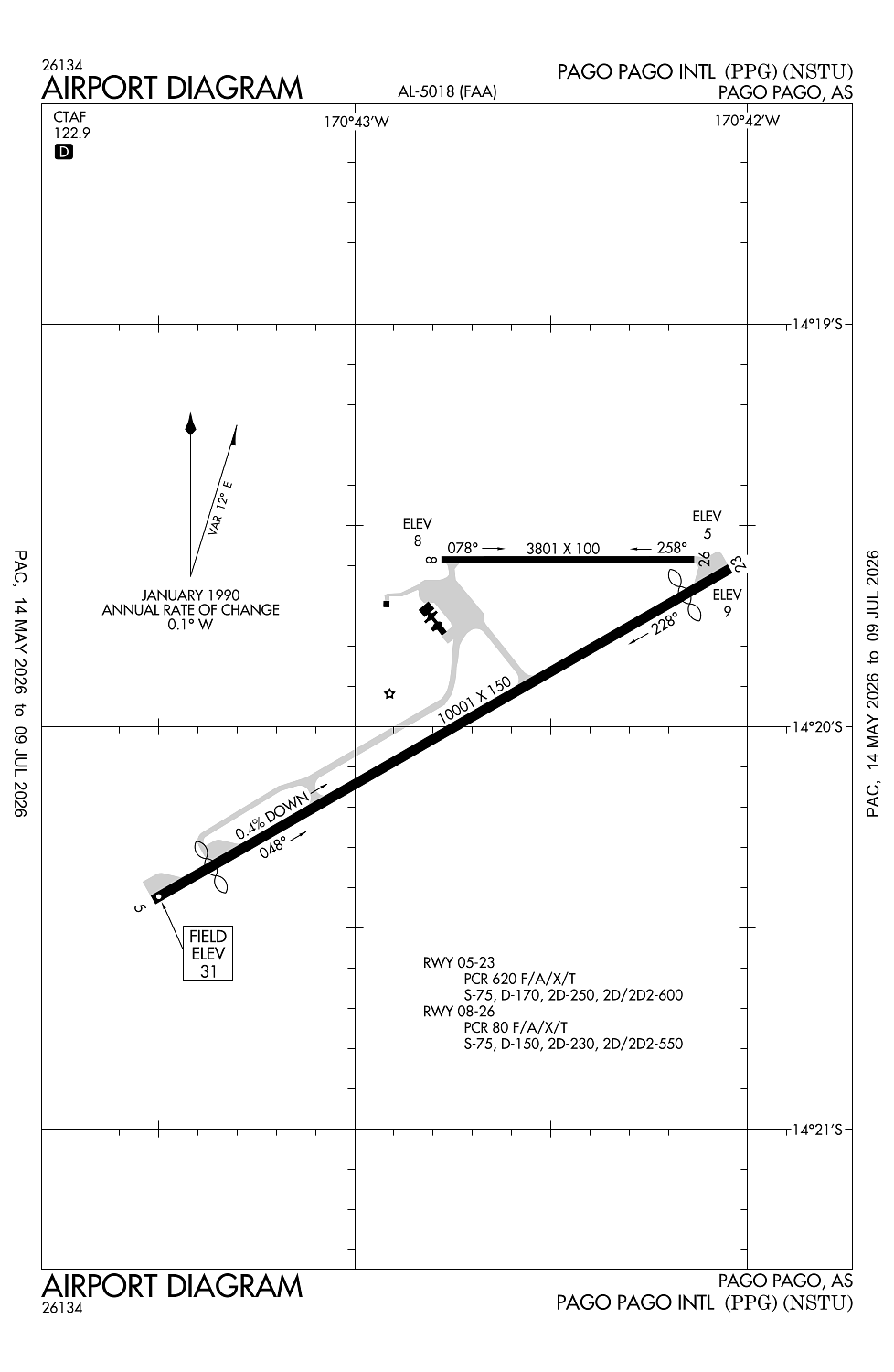
Pago Pago, AS
Elevation:
31ft
Sectional:
Gnc Two0
Activation date:
Jan 1956
Fuel:
100, A1+ (prices)
Runway 05/23:
10,001ft
Runway 08/26:
3,801ft
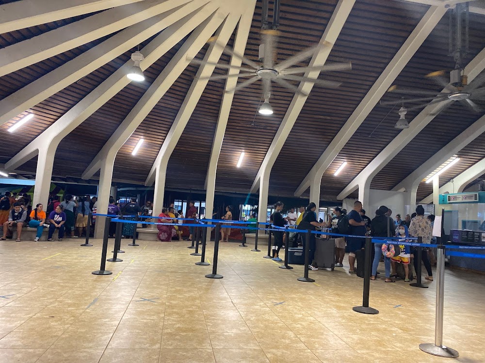
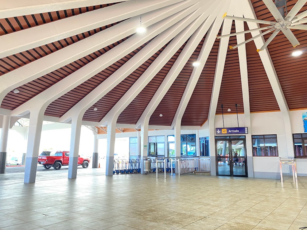
Access: Open to the public
Current Weather — VFR
-
Weather data is strictly informational and not for flight planning purposes.
-
METAR2026-07-20 10:51:00 SST
Ceiling: 8,000ft Wind: 090° @ 19kt, gusts 24kt Temperature: 80°F Dewpoint: 69°F Weather: N/A Visbility: 12SM Clouds: Scattered @ 2,300ft, Broken @ 8,000ft, Broken @ 20,000ft Raw:METAR NSTU 202151Z 09019G24KT 12SM SCT023 BKN080 BKN200 27/21 A2993 RMK SLP137 T02710209 -
TAF2026-07-20 07:00:00 SST – 2026-07-21 07:00:00 SST
Ceiling: 4,000ft Wind: 120° @ 14kt, gusts 22kt Weather: N/A Visbility: 6SM Clouds: Scattered @ 2,000ft, Broken @ 4,000ft Raw:TAF NSTU 201725Z 2018/2118 12014G22KT P6SM SCT020 BKN040
Click/tap to add an annotation marker to the map
No webcams added yet.
Remarks
- <all flts (excp sked) prior pmsn from amgr with 24 hrs prior notice.
- Sea spray fm surf & blow holes may drift acrs rwy 05/23 under rough sea conds.
- All acft transiting pago pago (excp commercial carriers) must make fuel arrangements with ppg at 684-733-3158.
- Olotele mt 1617 ft msl 3.5 miles west of thld ry 08.
- Permly lgtd & mkd 226' twr atop mt alava 4.3sm nne arpt.
Comments