Pirep is a free, collaborative database of all public and private airports. All pilots are welcome to contribute their local knowledge to any airport, no registration required.
Public
Undocumented
Edit Tags
No upcoming events. Is anything happening here soon?
Airport Statistics
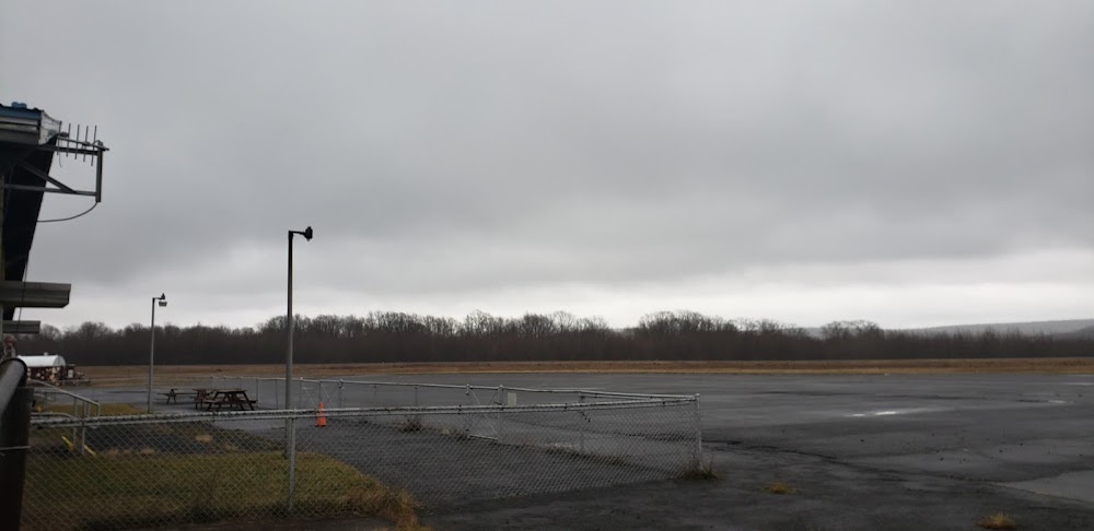
- Transient parking location
- Local flying clubs
- Airport photos
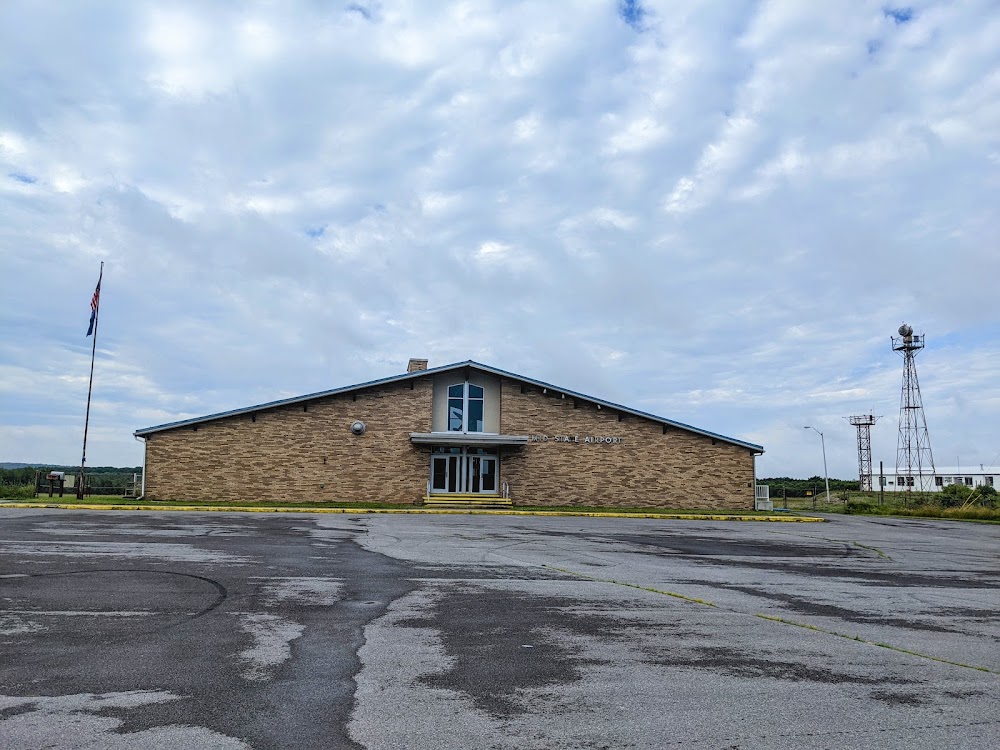
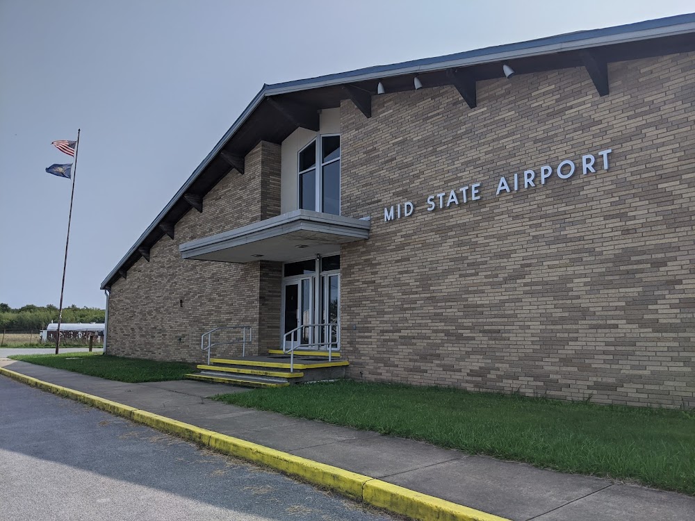
Location:
Philipsburg, PA
Elevation:
1,948ft
Sectional:
Detroit
Activation date:
Nov 1938
Fuel:
None
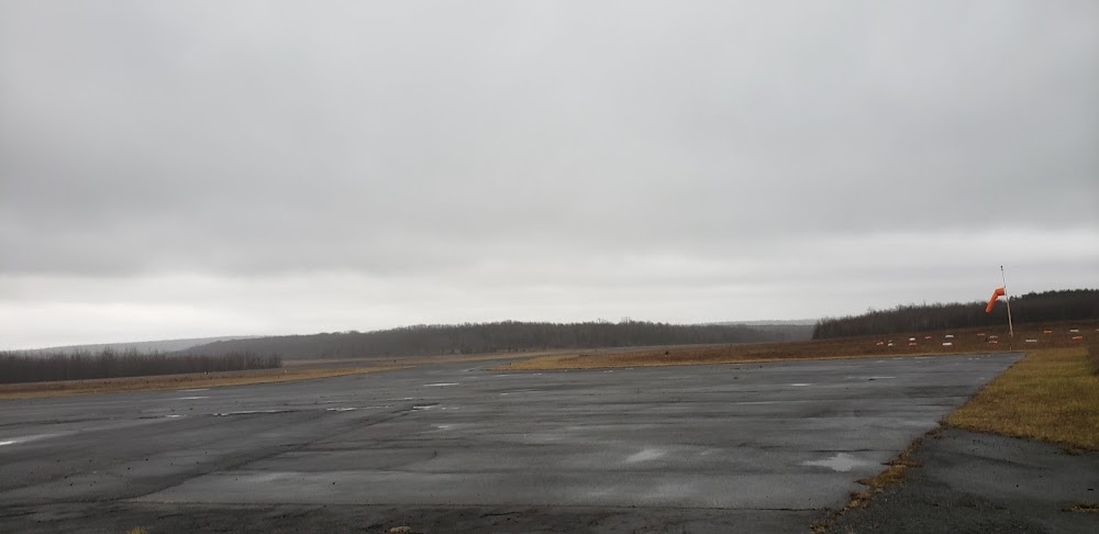
Runway 16/34:
5,711ft
Runway 06/24:
5,006ft
Access: Open to the public
Click/tap to add an annotation marker to the map
No webcams added yet.
Remarks
- This airport has been surveyed by the national geodetic survey.
- Existence predates reqmt for analysis.
- Deer on & invof arpt.
- Heavy glider activity during dalgt hrs, all alts, on and invof airport and within 15 nm east and south of arpt.
- Ctc ng ops 30.5/122.85/242.4
- For cd if una to ctc on fss freq, ctc new york artcc at 631-468-1425.
- Arpt aces ltd; ctc mgr to coord 814-342-1080.
- Actvt mirl rwy 06/24 & 16/34 - ctaf.
Comments