Pirep is a free, collaborative database of all public and private airports. All pilots are welcome to contribute their local knowledge to any airport, no registration required.


No upcoming events. Is anything happening here soon?
Last updated: 2023-04-14 11:56:42 EDT
Last updated: 2023-04-14 10:01:38 EDT
Airport Statistics
- Airport map annotations
- Fuel pump location
- Landing & tie-down fees
Location:
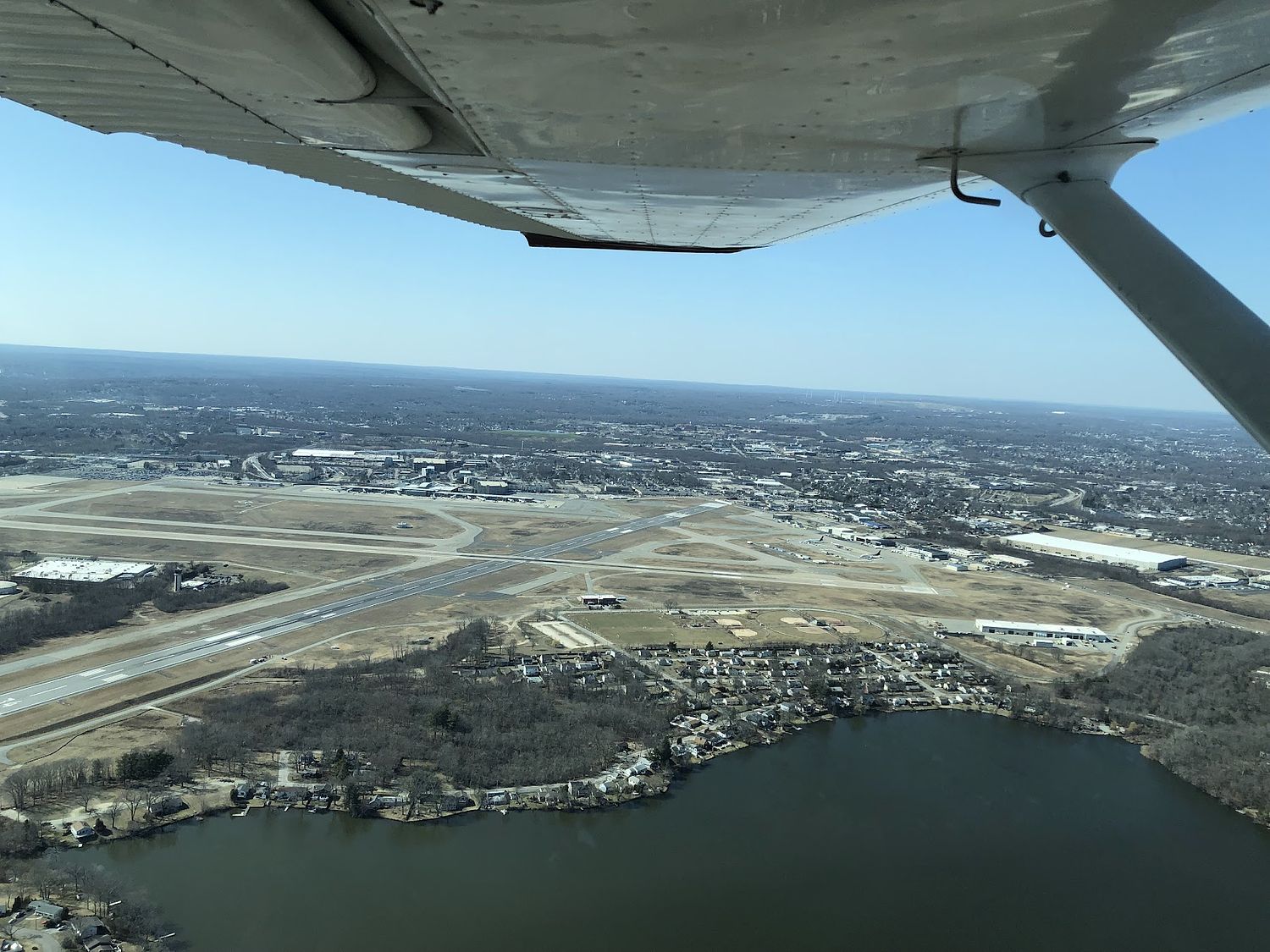
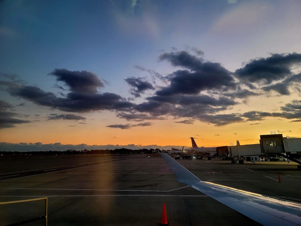
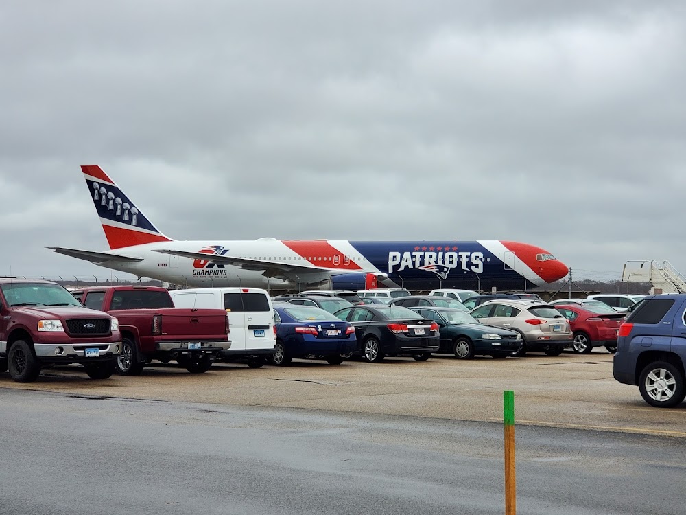
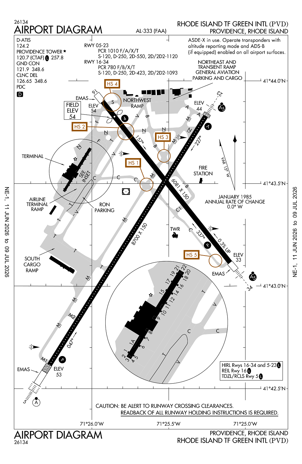
Providence, RI
Elevation:
54ft
Sectional:
New York
Activation date:
Sep 1937
Fuel:
100LL, A (prices)
Runway 05/23:
8,700ft
Runway 16/34:
6,081ft
Access: Open to the public
Similar Airports
Current Weather — VFR
-
Weather data is strictly informational and not for flight planning purposes.
-
METAR2026-07-15 17:51:00 EDT
Ceiling: 24,000ft Wind: 280° @ 9kt Temperature: 80°F Dewpoint: 62°F Weather: N/A Visbility: 7SM Clouds: Few @ 4,000ft, Few @ 9,000ft, Overcast @ 24,000ft Raw:METAR KPVD 152151Z 28009KT 7SM FEW040 FEW090 OVC240 27/17 A2978 RMK AO2 SLP085 FU OVC240 T02670167 $ -
TAF2026-07-15 17:00:00 EDT – 2026-07-15 18:00:00 EDT
Ceiling: 20,000ft Wind: 290° @ 11kt, gusts 20kt Weather: Haze Visbility: 5SM Clouds: Few @ 5,000ft, Overcast @ 20,000ft Raw:TAF KPVD 152101Z 1521/1618 29011G20KT 5SM HZ FEW050 OVC200 FM152200 31009KT P6SM FEW070 BKN110 FM160100 31005KT P6SM BKN250 FM161400 27008KT P6SM BKN250 -
TAF2026-07-15 18:00:00 EDT – 2026-07-15 21:00:00 EDT
Ceiling: 11,000ft Wind: 310° @ 9kt Weather: N/A Visbility: 6SM Clouds: Few @ 7,000ft, Broken @ 11,000ft Raw:TAF KPVD 152101Z 1521/1618 29011G20KT 5SM HZ FEW050 OVC200 FM152200 31009KT P6SM FEW070 BKN110 FM160100 31005KT P6SM BKN250 FM161400 27008KT P6SM BKN250 -
TAF2026-07-15 21:00:00 EDT – 2026-07-16 10:00:00 EDT
Ceiling: 25,000ft Wind: 310° @ 5kt Weather: N/A Visbility: 6SM Clouds: Broken @ 25,000ft Raw:TAF KPVD 152101Z 1521/1618 29011G20KT 5SM HZ FEW050 OVC200 FM152200 31009KT P6SM FEW070 BKN110 FM160100 31005KT P6SM BKN250 FM161400 27008KT P6SM BKN250 -
TAF2026-07-16 10:00:00 EDT – 2026-07-16 14:00:00 EDT
Ceiling: 25,000ft Wind: 270° @ 8kt Weather: N/A Visbility: 6SM Clouds: Broken @ 25,000ft Raw:TAF KPVD 152101Z 1521/1618 29011G20KT 5SM HZ FEW050 OVC200 FM152200 31009KT P6SM FEW070 BKN110 FM160100 31005KT P6SM BKN250 FM161400 27008KT P6SM BKN250
Click/tap to add an annotation marker to the map
No webcams added yet.
Remarks
- Existed prior to 1959.
- Gnd vehicles mnt ctaf when atct clsd.
- Deer & birds on & invof arpt.
- 110 ft unmkd lgt poles, 2700 ft fm thr rwy 34, 900 ft left of cntrln.
- Run up pad for twy f clsd to acft with wingspan over 118 ft.
Comments