Pirep is a free, collaborative database of all public and private airports. All pilots are welcome to contribute their local knowledge to any airport, no registration required.
Public
Undocumented
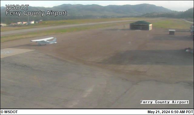
Webcam
Edit Tags
No upcoming events. Is anything happening here soon?
Airport Statistics
- WiFi availability
- Transient parking location
- Local flying clubs
Location:
Republic, WA
Elevation:
2,522ft
Sectional:
Seattle
Activation date:
Oct 1974
Fuel:
None
Runway 17/35:
3,498ft
Runway H1:
20ft
Runway H2:
20ft
Access: Open to the public
Click/tap to add an annotation marker to the map
Remarks
- Suggest ngt lndgs be made on ry 35.
- Ry 17/35 trees lctd on unlgtd unmkd mountainous trrn.
- Plines ne of ry 17 lgtd dusk-dawn.
- Wildlife invof of runway.
- For cd ctc seattle artcc at 253-351-3694.
- Actvt papi rwy 35; mirl rwy 17/35 - 122.8.
- Sheriff ofc 509-775-3132.
- Rwy mrkgs faded.
Comments