Pirep is a free, collaborative database of all public and private airports. All pilots are welcome to contribute their local knowledge to any airport, no registration required.


Public
Undocumented
METAR / TAF
Edit Tags
No upcoming events. Is anything happening here soon?
Airport Statistics
- WiFi availability
- Airport photos
- Local flying clubs
Location:
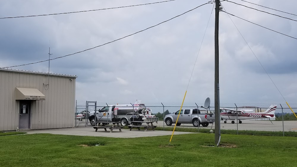
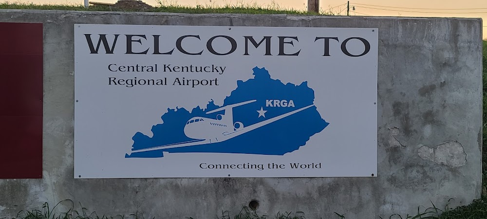
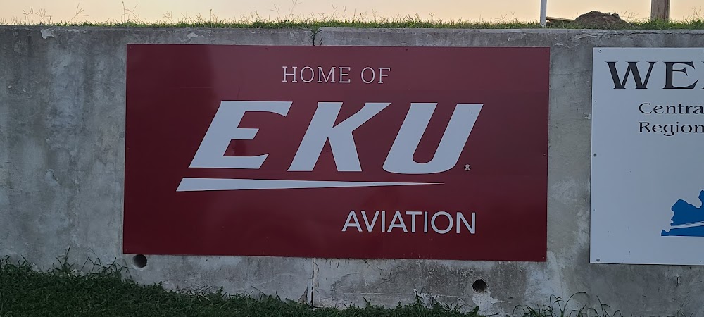
Richmond, KY
Elevation:
1,002ft
Sectional:
Cincinnati
Activation date:
Apr 1986
Fuel:
100LL, A+ (prices)
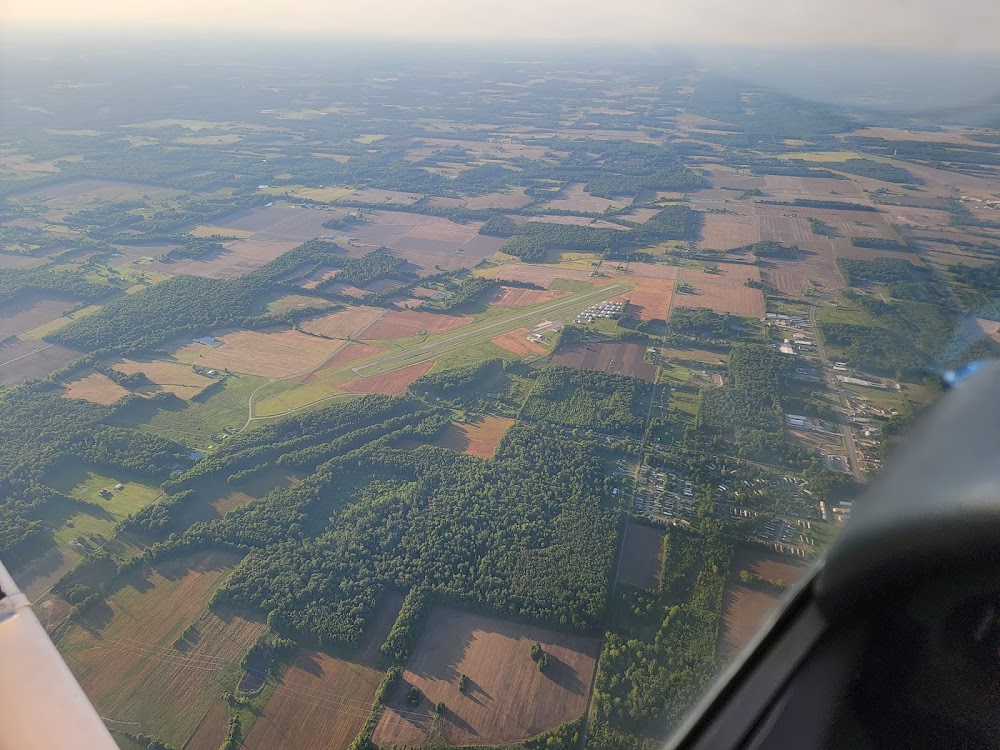
Runway 18/36:
5,001ft
Access: Open to the public
Current Weather — VFR
-
Weather data is strictly informational and not for flight planning purposes.
-
METAR2026-07-21 00:15:00 EDT
Ceiling: Sky clear Wind: 220° @ 3kt Temperature: 77°F Dewpoint: 73°F Weather: N/A Visbility: 10SM Clouds: Scattered @ 2,800ft Raw:METAR KRGA 210415Z AUTO 22003KT 10SM SCT028 25/23 A2992 RMK AO2 -
TAF2026-07-20 20:00:00 EDT – 2026-07-21 10:00:00 EDT
Ceiling: 25,000ft Wind: 220° @ 4kt Weather: N/A Visbility: 6SM Clouds: Broken @ 25,000ft Raw:TAF KRGA 202340Z 2100/2124 22004KT P6SM BKN250 FM211400 22010KT P6SM BKN250 FM211700 23012G20KT 4SM -TSRA BKN050CB TEMPO 2117/2121 1SM -TSRA BKN025CB FM212100 22010KT 6SM -SHRA SCT050 BKN090 AMD NOT SKED 2103/2108 -
TAF2026-07-21 10:00:00 EDT – 2026-07-21 13:00:00 EDT
Ceiling: 25,000ft Wind: 220° @ 10kt Weather: N/A Visbility: 6SM Clouds: Broken @ 25,000ft Raw:TAF KRGA 202340Z 2100/2124 22004KT P6SM BKN250 FM211400 22010KT P6SM BKN250 FM211700 23012G20KT 4SM -TSRA BKN050CB TEMPO 2117/2121 1SM -TSRA BKN025CB FM212100 22010KT 6SM -SHRA SCT050 BKN090 AMD NOT SKED 2103/2108 -
TAF2026-07-21 13:00:00 EDT – 2026-07-21 17:00:00 EDT
Ceiling: 5,000ft Wind: 230° @ 12kt, gusts 20kt Weather: Light thunderstorm rain Visbility: 4SM Clouds: Broken @ 5,000ft Raw:TAF KRGA 202340Z 2100/2124 22004KT P6SM BKN250 FM211400 22010KT P6SM BKN250 FM211700 23012G20KT 4SM -TSRA BKN050CB TEMPO 2117/2121 1SM -TSRA BKN025CB FM212100 22010KT 6SM -SHRA SCT050 BKN090 AMD NOT SKED 2103/2108 -
TAF2026-07-21 13:00:00 EDT – 2026-07-21 17:00:00 EDT
Ceiling: 2,500ft Wind: 000° @ kt Weather: Light thunderstorm rain Visbility: 1SM Clouds: Broken @ 2,500ft Raw:TAF KRGA 202340Z 2100/2124 22004KT P6SM BKN250 FM211400 22010KT P6SM BKN250 FM211700 23012G20KT 4SM -TSRA BKN050CB TEMPO 2117/2121 1SM -TSRA BKN025CB FM212100 22010KT 6SM -SHRA SCT050 BKN090 AMD NOT SKED 2103/2108 -
TAF2026-07-21 17:00:00 EDT – 2026-07-21 20:00:00 EDT
Ceiling: 9,000ft Wind: 220° @ 10kt Weather: Light rain showers Visbility: 6SM Clouds: Scattered @ 5,000ft, Broken @ 9,000ft Raw:TAF KRGA 202340Z 2100/2124 22004KT P6SM BKN250 FM211400 22010KT P6SM BKN250 FM211700 23012G20KT 4SM -TSRA BKN050CB TEMPO 2117/2121 1SM -TSRA BKN025CB FM212100 22010KT 6SM -SHRA SCT050 BKN090 AMD NOT SKED 2103/2108
Click/tap to add an annotation marker to the map

No webcams added yet.
Remarks
- Ops conducted w of rwy cntrln.
- Deer and birds on and invof arpt.
- For cd ctc lexington approach at 859-514-7890.
- Student trng wi 15 nm; sfc to 7500 ft.
- Actvt reil rwy 18 & 36; papi rwy 18 & 36; mirl rwy 18/36 - ctaf.
Comments