Pirep is a free, collaborative database of all public and private airports. All pilots are welcome to contribute their local knowledge to any airport, no registration required.

Public
Undocumented
METAR / TAF
Edit Tags
No upcoming events. Is anything happening here soon?
Airport Statistics
- Tags
- Landing & tie-down fees
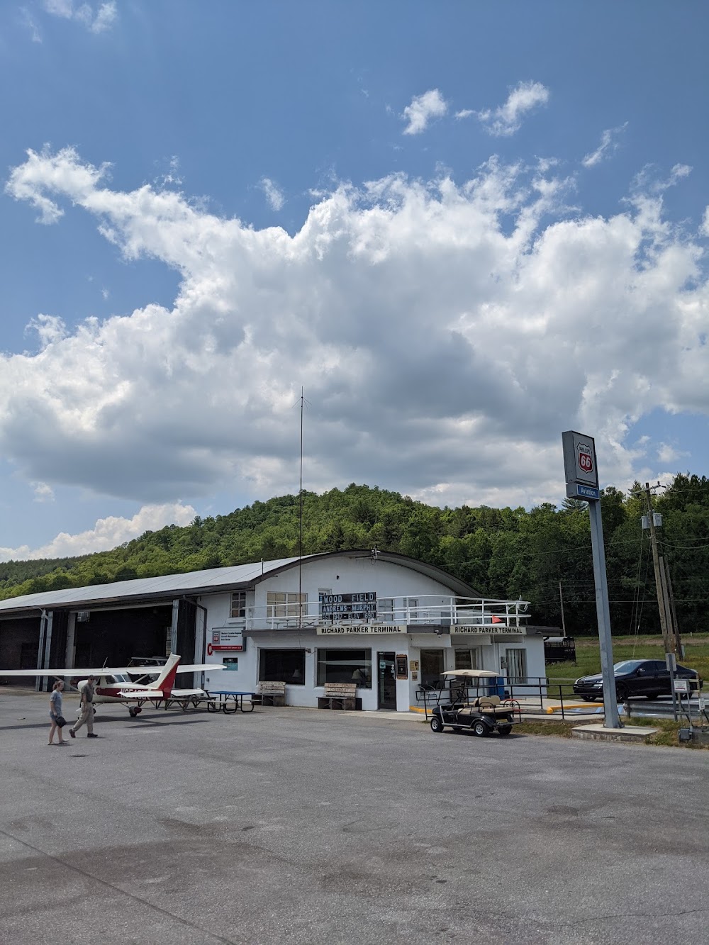
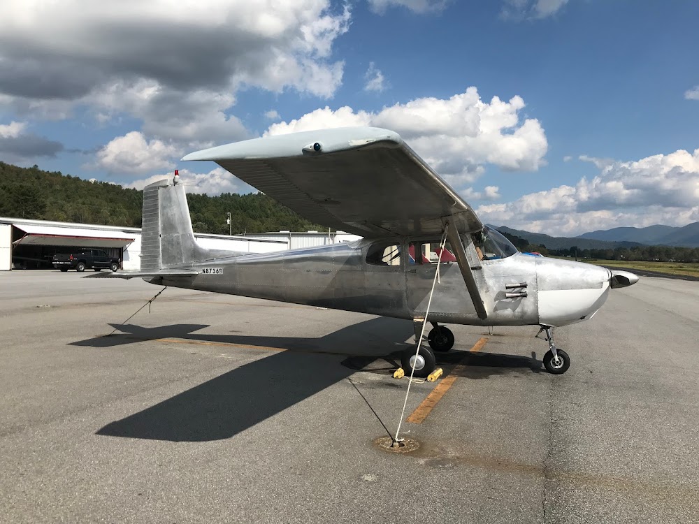
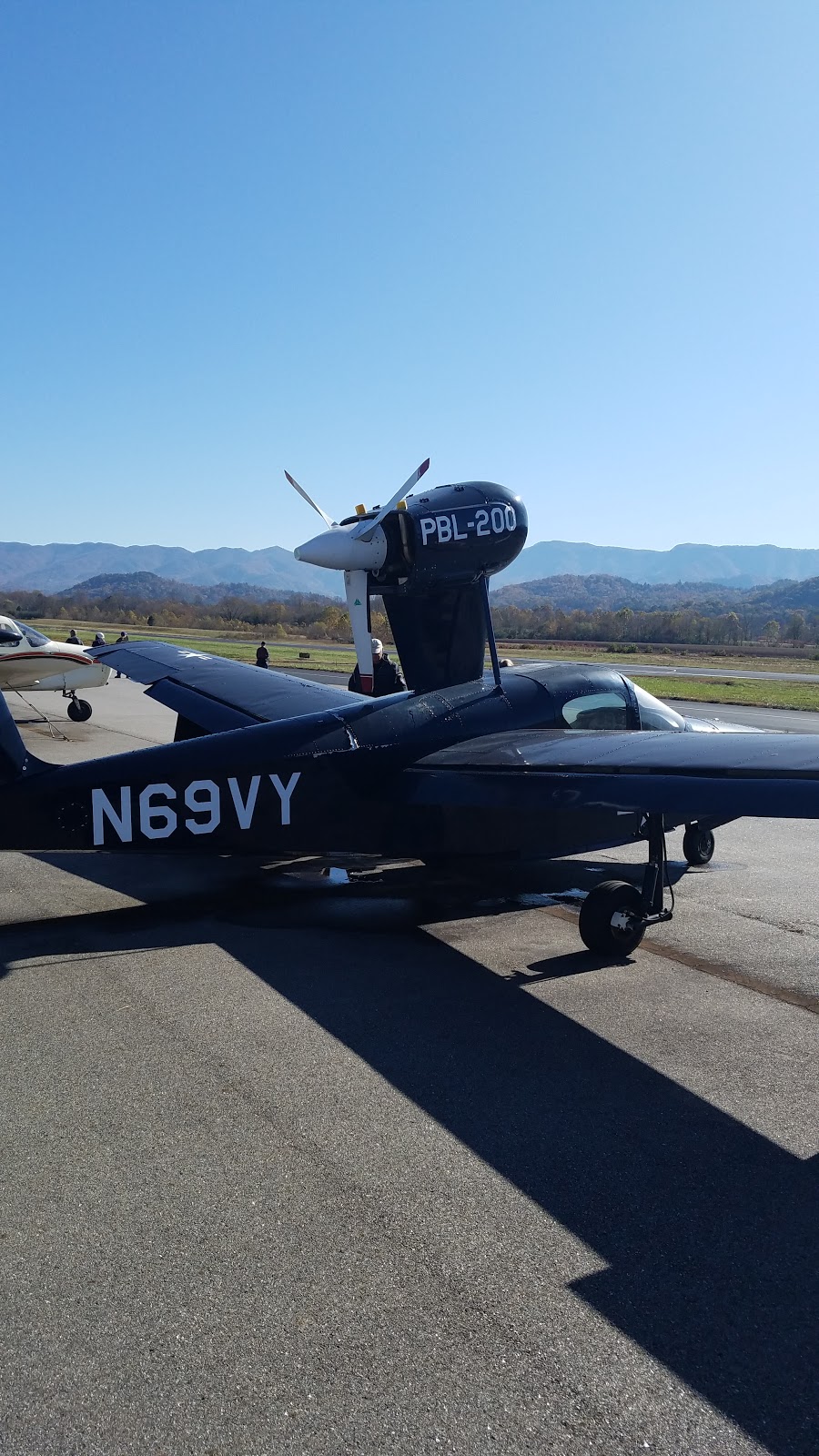
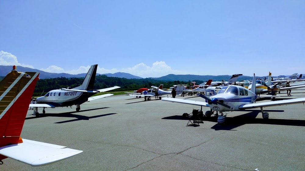
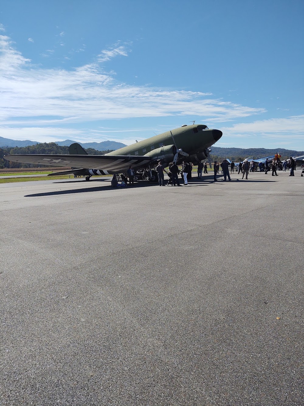
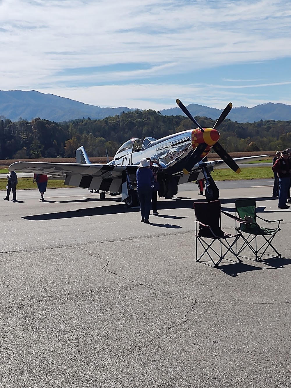
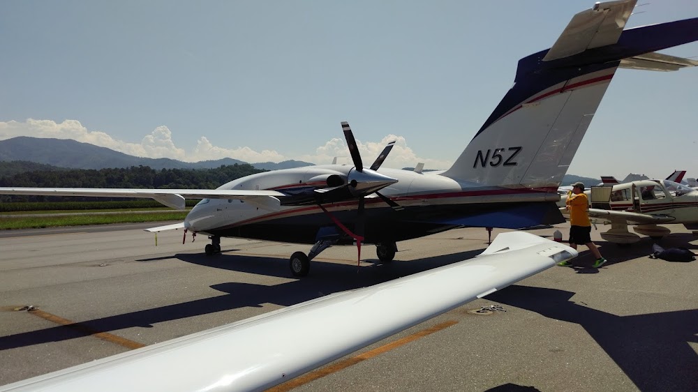
- Airport photos
Location:
Andrews, NC
Elevation:
1,698ft
Sectional:
Atlanta
Activation date:
Jul 1947
Fuel:
100LL, A, A1+ (prices)
Runway 08/26:
5,500ft
Access: Open to the public
Current Weather — LIFR
-
Weather data is strictly informational and not for flight planning purposes.
-
METAR2026-07-20 05:14:00 EDT
Ceiling: 300ft Wind: Calm Temperature: 67°F Dewpoint: 66°F Weather: Fog Visbility: 0SM Clouds: Overcast @ 300ft Raw:METAR KRHP 200914Z AUTO 00000KT 1/4SM FG OVC003 20/19 A3003 RMK AO2 T01970190
Click/tap to add an annotation marker to the map
No webcams added yet.
Remarks
- Lctd 0.5 mi north of west end of rwy 08/26.
- Low flying mil jet acft overfly arpt.
- Twy unlgtd.
- 4-5 ft ditch 75 ft from rwy cntrln on both sides.
- Rwy 08 rr 390 ft right of cntrln 260 ft fm thld.
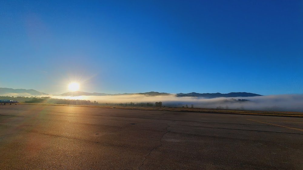
- Arpt srndd by high trrn.
- Rwy 08, 8 ft drop-off, 108 ft fm thld both sides in rwy safety area.
- Cold temperature airport. altitude correction required at or below -4c.
Comments