Pirep is a free, collaborative database of all public and private airports. All pilots are welcome to contribute their local knowledge to any airport, no registration required.


Public
Undocumented
Edit Tags
No upcoming events. Is anything happening here soon?
Airport Statistics
- Crew car availability
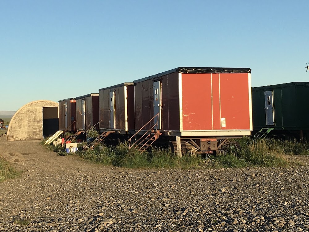
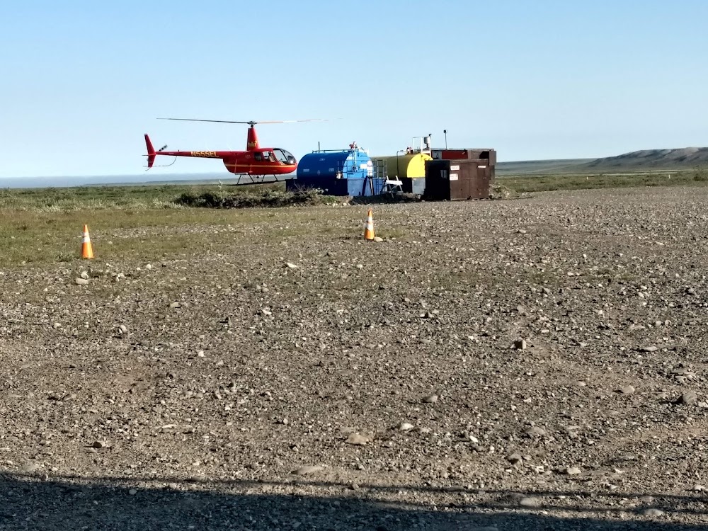
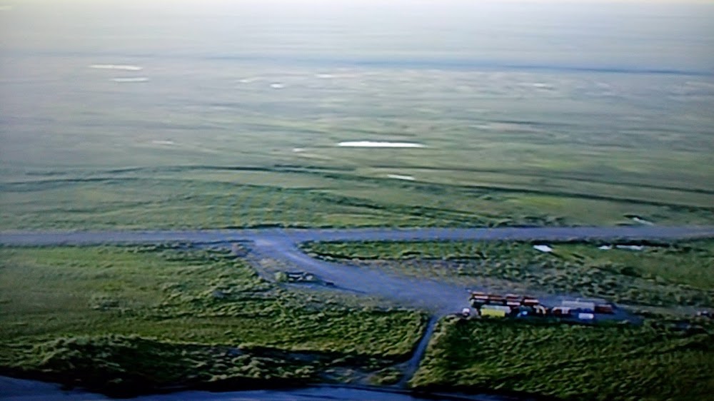
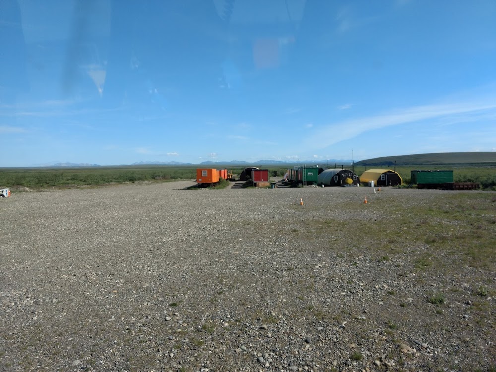
- Airport photos
- Webcam links
Location:
Kavik River, AK
Elevation:
668ft
Sectional:
Point Barrow
Activation date:
Oct 2014
Fuel:
100LL, A (prices)
Runway 08/26:
5,500ft
Access: Open to the public
This airport is privately owned but open to the public.
Click/tap to add an annotation marker to the map
No webcams added yet.
Remarks
- Rwy 08 thr markers non standard, barrels and reflective cones.
- Rwy thr markers non standard; reflective cone.
- Rwy sfc is loose grvl and rocks, mid section of rwy is fairly smooth, first 1500 ft of both rwy ends are rough due to frost heaves.
Comments