Pirep is a free, collaborative database of all public and private airports. All pilots are welcome to contribute their local knowledge to any airport, no registration required.
Public
Undocumented
METAR / TAF
Edit Tags
No upcoming events. Is anything happening here soon?
Airport Statistics
- Crew car availability
- Fuel pump location
- Webcam links
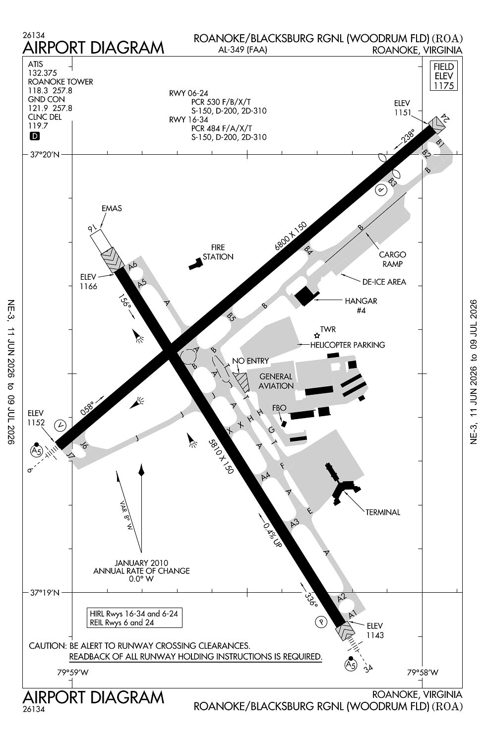
Location:
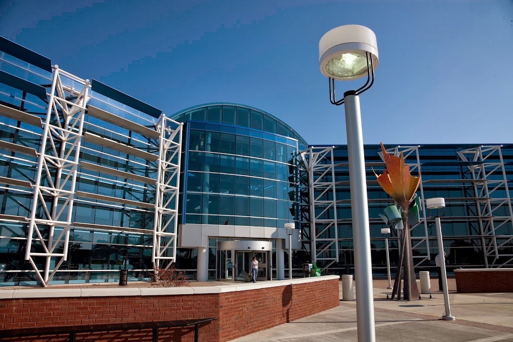
Roanoke, VA
Elevation:
1,175ft
Sectional:
Cincinnati
Activation date:
May 1930
Fuel:
100LL, A (prices)
Runway 06/24:
6,800ft
Runway 16/34:
5,810ft
Access: Open to the public
Current Weather — VFR
-
Weather data is strictly informational and not for flight planning purposes.
-
METAR2026-07-19 22:54:00 EDT
Ceiling: Sky clear Wind: 160° @ 3kt Temperature: 78°F Dewpoint: 62°F Weather: N/A Visbility: 10SM Clouds: Few @ 4,800ft Raw:METAR KROA 200254Z 16003KT 10SM FEW048 26/17 A2997 RMK AO2 SLP135 T02560172 51015 -
TAF2026-07-19 20:00:00 EDT – 2026-07-20 07:00:00 EDT
Ceiling: Sky clear Wind: 300° @ 8kt Weather: N/A Visbility: 6SM Clouds: Scattered @ 5,000ft Raw:TAF KROA 192320Z 2000/2024 30008KT P6SM SCT050 TEMPO 2009/2011 BKN030 FM201100 00000KT P6SM BKN070 FM201700 15005KT P6SM SCT050 -
TAF2026-07-20 05:00:00 EDT – 2026-07-20 07:00:00 EDT
Ceiling: 3,000ft Wind: 000° @ kt Weather: N/A Visbility: SM Clouds: Broken @ 3,000ft Raw:TAF KROA 192320Z 2000/2024 30008KT P6SM SCT050 TEMPO 2009/2011 BKN030 FM201100 00000KT P6SM BKN070 FM201700 15005KT P6SM SCT050 -
TAF2026-07-20 07:00:00 EDT – 2026-07-20 13:00:00 EDT
Ceiling: 7,000ft Wind: Calm Weather: N/A Visbility: 6SM Clouds: Broken @ 7,000ft Raw:TAF KROA 192320Z 2000/2024 30008KT P6SM SCT050 TEMPO 2009/2011 BKN030 FM201100 00000KT P6SM BKN070 FM201700 15005KT P6SM SCT050 -
TAF2026-07-20 13:00:00 EDT – 2026-07-20 20:00:00 EDT
Ceiling: Sky clear Wind: 150° @ 5kt Weather: N/A Visbility: 6SM Clouds: Scattered @ 5,000ft Raw:TAF KROA 192320Z 2000/2024 30008KT P6SM SCT050 TEMPO 2009/2011 BKN030 FM201100 00000KT P6SM BKN070 FM201700 15005KT P6SM SCT050
Click/tap to add an annotation marker to the map
No webcams added yet.
Remarks
- This airport has been surveyed by the national geodetic survey.
- Dep rwy 34 & arr rwy 16 na at night or during ifr cond due to trrn.
- Tsnt pilots ctc fbo unicom for acft parking and escort.
- Birds invof arpt.
- Twy t clsd to acft with wingspan greater than 118 ft.
Comments