Pirep is a free, collaborative database of all public and private airports. All pilots are welcome to contribute their local knowledge to any airport, no registration required.


Public
Undocumented
METAR / TAF
Edit Tags
No upcoming events. Is anything happening here soon?
Airport Statistics
- Crew car availability
- Airport photos
- Airport map annotations
Location:
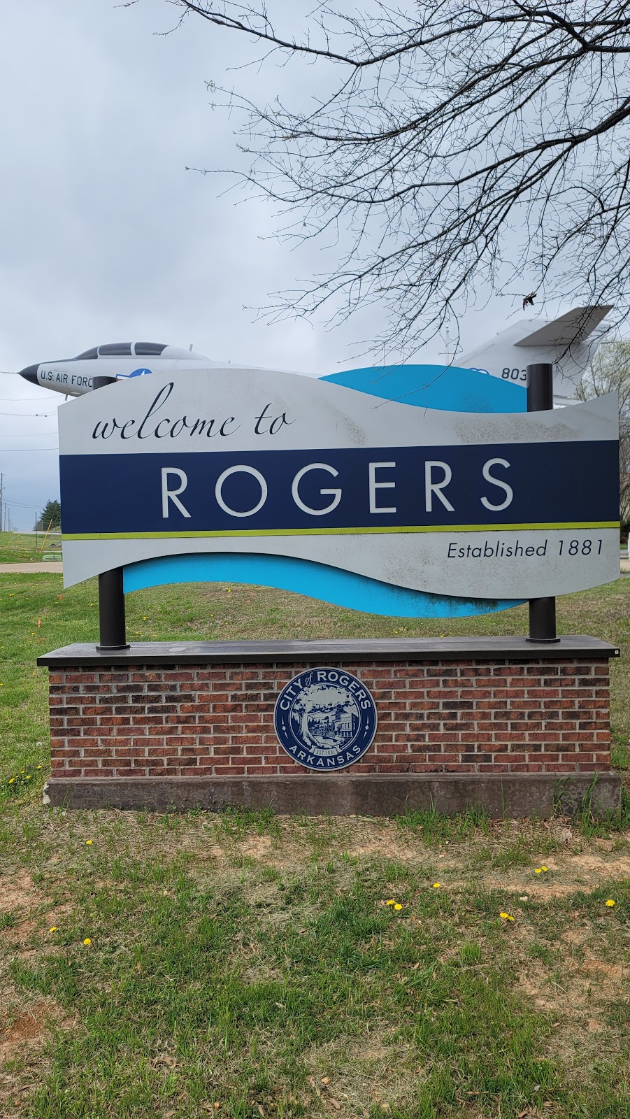
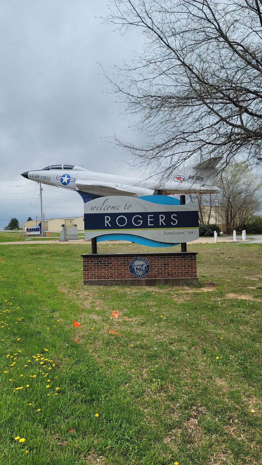
Rogers, AR
Elevation:
1,358ft
Sectional:
Kansas City
Activation date:
May 1946
Fuel:
100LL, A (prices)
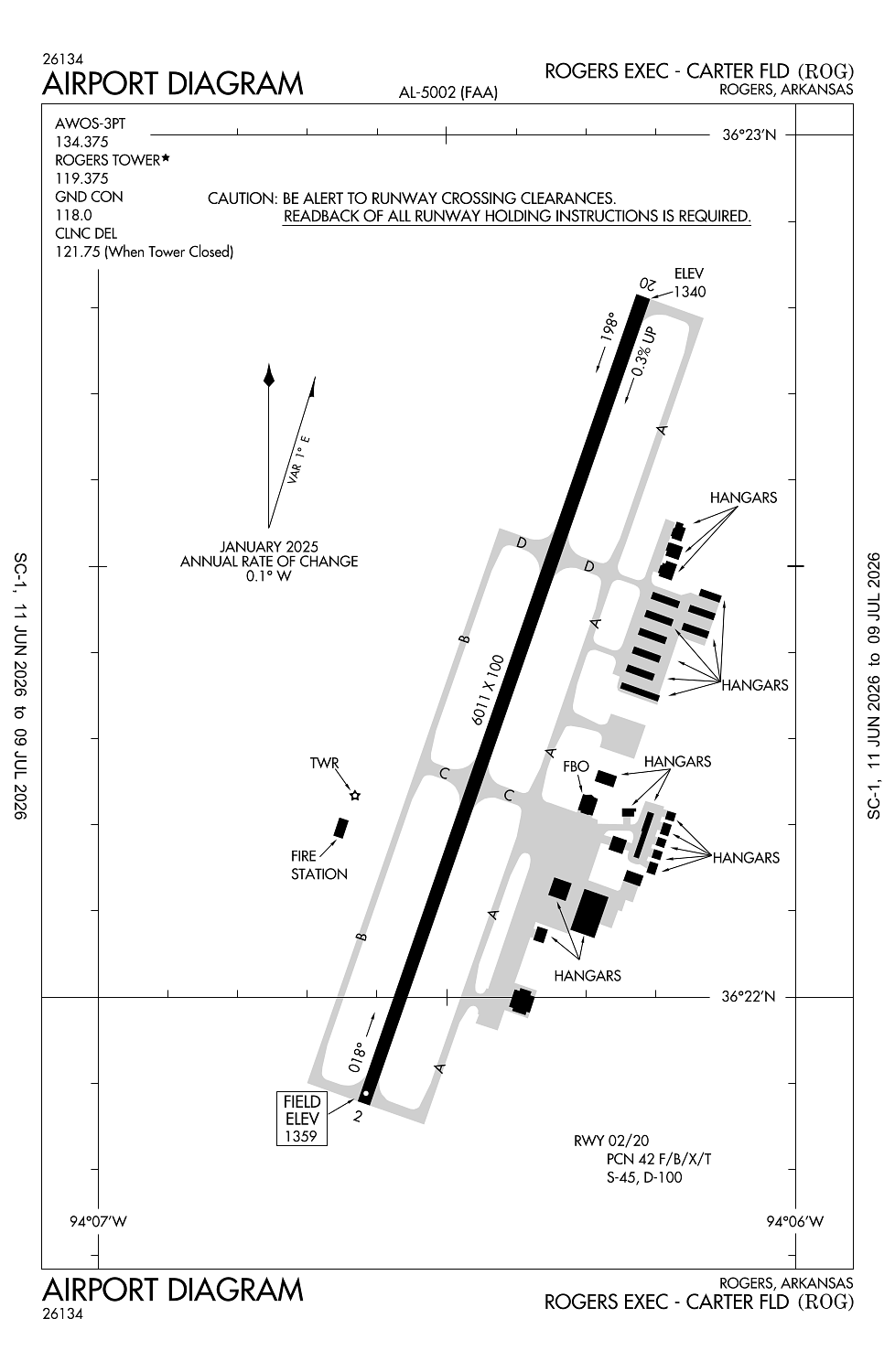
Runway 02/20:
6,011ft
Access: Open to the public
Current Weather — VFR
-
Weather data is strictly informational and not for flight planning purposes.
-
METAR2026-07-25 08:58:00 CDT
Ceiling: 4,500ft Wind: 230° @ 10kt Temperature: 84°F Dewpoint: 73°F Weather: N/A Visbility: 10SM Clouds: Broken @ 4,500ft Raw:METAR KROG 251358Z 23010KT 10SM BKN045 29/23 A3009 RMK AO2 SLP170 T02890228 -
TAF2026-07-25 07:00:00 CDT – 2026-07-25 09:00:00 CDT
Ceiling: Sky clear Wind: 180° @ 4kt Weather: N/A Visbility: 6SM Clouds: Scattered @ 5,000ft, Scattered @ 12,000ft Raw:TAF KROG 251120Z 2512/2612 18004KT P6SM SCT050 SCT120 FM251400 23011KT P6SM SCT040 SCT100 FM260100 19004KT P6SM FEW060 FEW250 -
TAF2026-07-25 09:00:00 CDT – 2026-07-25 20:00:00 CDT
Ceiling: Sky clear Wind: 230° @ 11kt Weather: N/A Visbility: 6SM Clouds: Scattered @ 4,000ft, Scattered @ 10,000ft Raw:TAF KROG 251120Z 2512/2612 18004KT P6SM SCT050 SCT120 FM251400 23011KT P6SM SCT040 SCT100 FM260100 19004KT P6SM FEW060 FEW250 -
TAF2026-07-25 20:00:00 CDT – 2026-07-26 07:00:00 CDT
Ceiling: Sky clear Wind: 190° @ 4kt Weather: N/A Visbility: 6SM Clouds: Few @ 6,000ft, Few @ 25,000ft Raw:TAF KROG 251120Z 2512/2612 18004KT P6SM SCT050 SCT120 FM251400 23011KT P6SM SCT040 SCT100 FM260100 19004KT P6SM FEW060 FEW250
Click/tap to add an annotation marker to the map
No webcams added yet.
Remarks
- This airport has been surveyed by the national geodetic survey.
- Arff avbl upon request.
- Ry 20 designated calm wind ry.
- Bird activity on & invof arpt.
- Deer and coyote on & invof arpt.
Comments