Pirep is a free, collaborative database of all public and private airports. All pilots are welcome to contribute their local knowledge to any airport, no registration required.
Public
Undocumented
METAR / TAF
Edit Tags
No upcoming events. Is anything happening here soon?
Airport Statistics
- Landing & tie-down fees
- Crew car availability
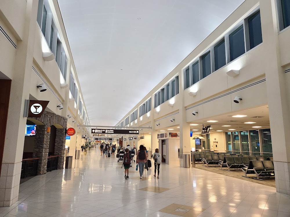
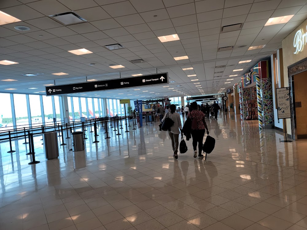
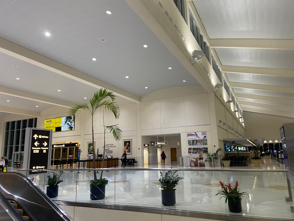
- General description
Location:
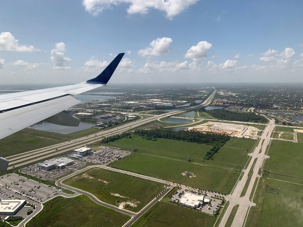
Fort Myers, FL
Elevation:
29ft
Sectional:
Miami
Activation date:
Mar 1983
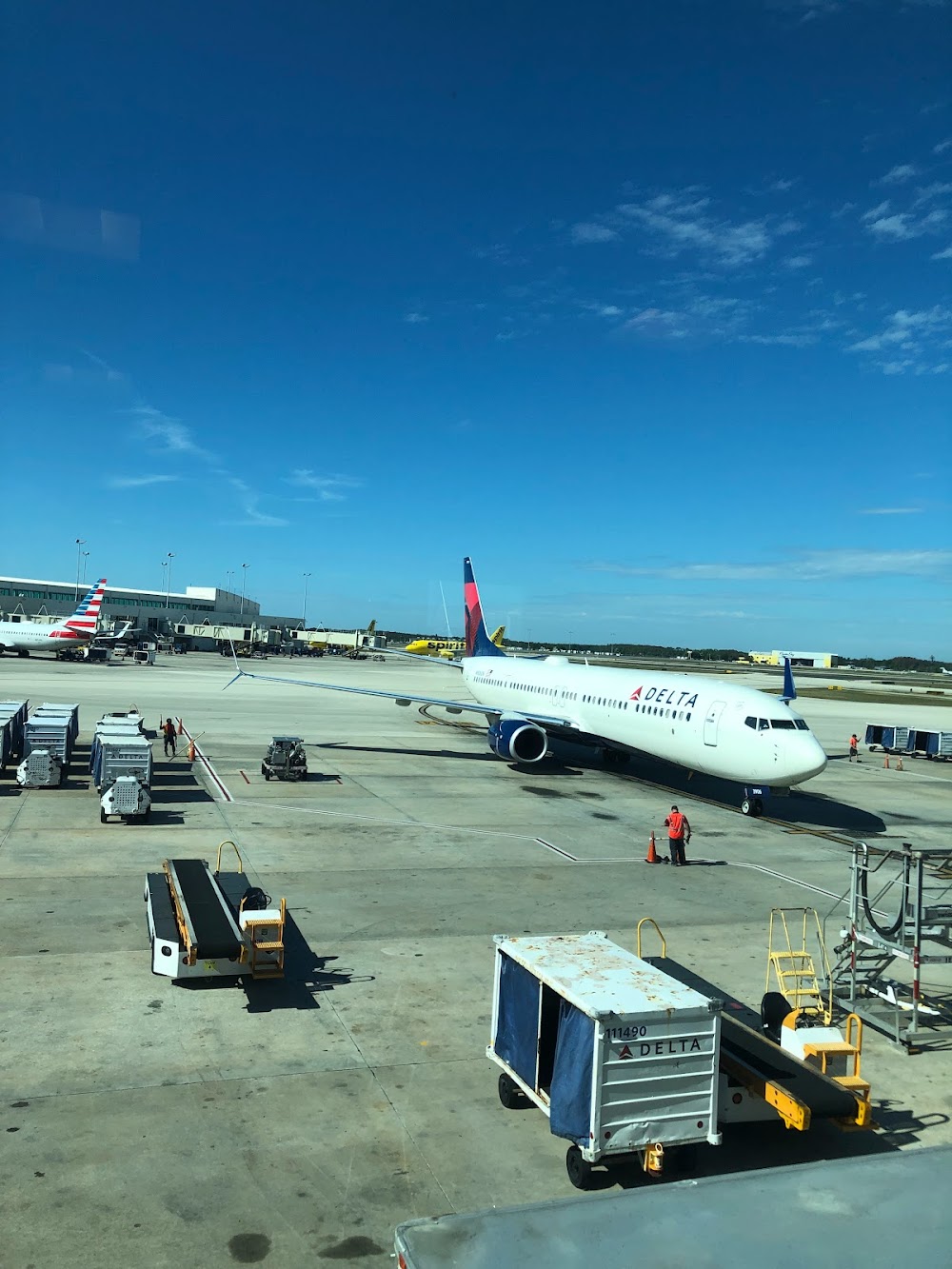
Fuel:
100LL, A, A+ (prices)
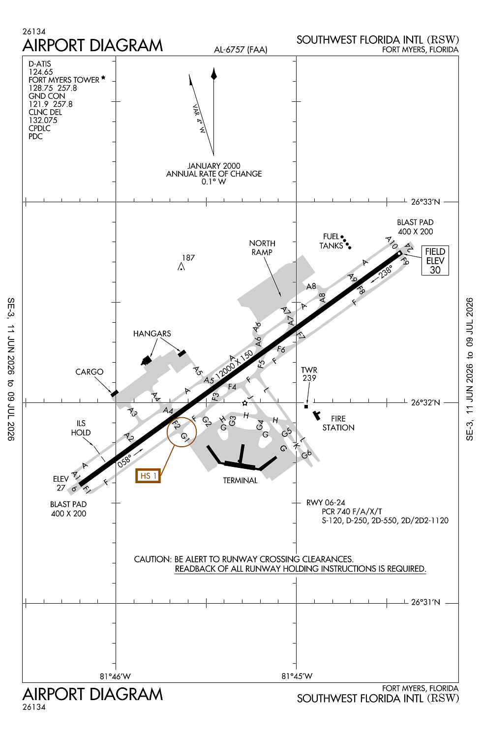
Runway 06/24:
12,000ft
Access: Open to the public
Current Weather — VFR
-
Weather data is strictly informational and not for flight planning purposes.
-
METAR2026-07-20 14:53:00 EDT
Ceiling: Sky clear Wind: 210° @ 18kt Temperature: 89°F Dewpoint: 75°F Weather: N/A Visbility: 10SM Clouds: Few @ 3,900ft Raw:METAR KRSW 201853Z 21018KT 10SM FEW039 32/24 A2996 RMK AO2 PK WND 20029/1826 SLP144 T03220239 -
TAF2026-07-20 14:00:00 EDT – 2026-07-20 15:00:00 EDT
Ceiling: 10,000ft Wind: 200° @ 13kt Weather: Showers in vicinity Visbility: 6SM Clouds: Scattered @ 2,500ft, Broken @ 10,000ft Raw:TAF KRSW 201720Z 2018/2118 20013KT P6SM VCSH SCT025 BKN100 FM201900 22012G22KT P6SM SCT030 SCT100 BKN250 FM210000 17008KT P6SM FEW030 BKN250 FM211500 17010G18KT P6SM FEW030 SCT250 -
TAF2026-07-20 15:00:00 EDT – 2026-07-20 20:00:00 EDT
Ceiling: 25,000ft Wind: 220° @ 12kt, gusts 22kt Weather: N/A Visbility: 6SM Clouds: Scattered @ 3,000ft, Scattered @ 10,000ft, Broken @ 25,000ft Raw:TAF KRSW 201720Z 2018/2118 20013KT P6SM VCSH SCT025 BKN100 FM201900 22012G22KT P6SM SCT030 SCT100 BKN250 FM210000 17008KT P6SM FEW030 BKN250 FM211500 17010G18KT P6SM FEW030 SCT250 -
TAF2026-07-20 20:00:00 EDT – 2026-07-21 11:00:00 EDT
Ceiling: 25,000ft Wind: 170° @ 8kt Weather: N/A Visbility: 6SM Clouds: Few @ 3,000ft, Broken @ 25,000ft Raw:TAF KRSW 201720Z 2018/2118 20013KT P6SM VCSH SCT025 BKN100 FM201900 22012G22KT P6SM SCT030 SCT100 BKN250 FM210000 17008KT P6SM FEW030 BKN250 FM211500 17010G18KT P6SM FEW030 SCT250 -
TAF2026-07-21 11:00:00 EDT – 2026-07-21 14:00:00 EDT
Ceiling: Sky clear Wind: 170° @ 10kt, gusts 18kt Weather: N/A Visbility: 6SM Clouds: Few @ 3,000ft, Scattered @ 25,000ft Raw:TAF KRSW 201720Z 2018/2118 20013KT P6SM VCSH SCT025 BKN100 FM201900 22012G22KT P6SM SCT030 SCT100 BKN250 FM210000 17008KT P6SM FEW030 BKN250 FM211500 17010G18KT P6SM FEW030 SCT250
Click/tap to add an annotation marker to the map
No webcams added yet.
Remarks
- Acr use ramp proc prescribed by arpt ops.
- No heli ops permitted on trml apron.
- Lgts on parallel road & parking lot nw of rwy 06/24 can be mistaken for rwy & apch environment.
- Gnd clnc rqrd prior to entering twy g.
- Rwy use program in effect; use distant noise abatement dep profile. visual apch to rwy 06 w of fort myers beach maintain 3000 ft until crossing shoreline 12 nm sw of arpt. rwy 24 preferred btn 2200-0600. for noise abatement proc ctc amgr.
Comments