Pirep is a free, collaborative database of all public and private airports. All pilots are welcome to contribute their local knowledge to any airport, no registration required.
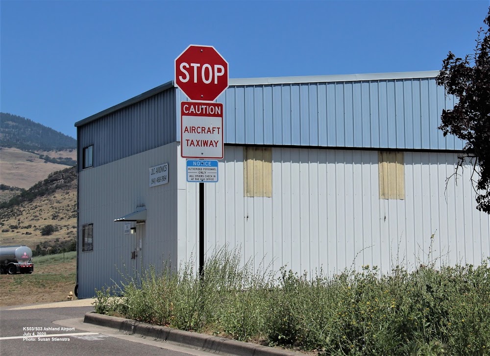
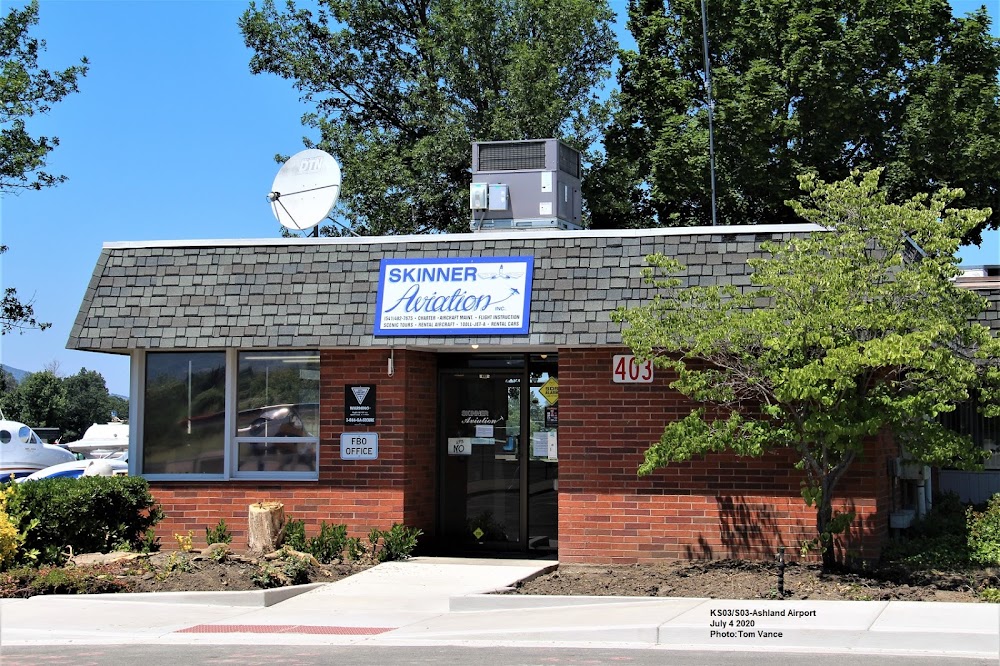
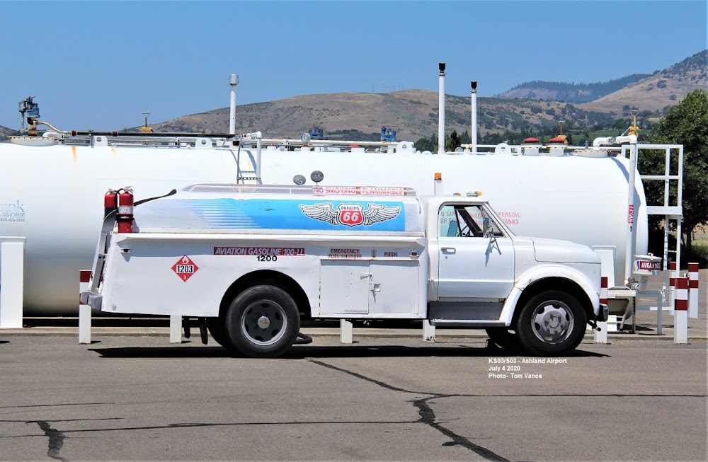
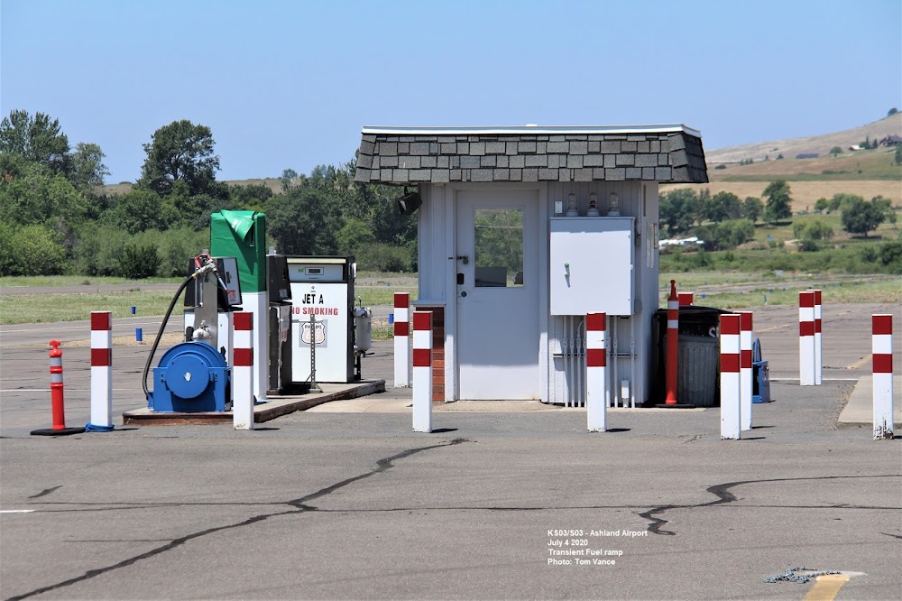
Public
Undocumented
Edit Tags
No upcoming events. Is anything happening here soon?
Airport Statistics
- Landing & tie-down fees
- Airport photos
- Transient parking location
Location:
Ashland, OR
Elevation:
1,888ft
Sectional:
Klamath Falls
Activation date:
Apr 1947
Fuel:
100LL, A
Runway 12/30:
3,603ft
Access: Open to the public
Click/tap to add an annotation marker to the map
No webcams added yet.
Remarks
- Ry 12 has 165 ft terrain 5000 ft at 29:1.
- Deer & birds on & invof arpt
- 24 hr credit card fuel avbl.
- Taxilane width in vcnty hangars: 36 feet from center.
- For cd ctc cascade apch at 541-607-4674/4675, when apch clsd ctc seattle artcc at 253-351-3694.
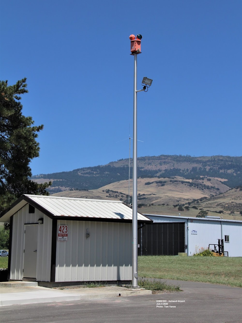
- Actvt mirl ry 12/30, & reil ry 30 - ctaf. papi rys 12 & 30 opr 24 hrs.
- Automated unicom.
- +40 ft tree 110 ft fm ry end 100 ft r.; 9' briars at 0-200' from runway end and 60-125' right of center line.
Comments