Pirep is a free, collaborative database of all public and private airports. All pilots are welcome to contribute their local knowledge to any airport, no registration required.
Public
Edit Tags
No upcoming events. Is anything happening here soon?
Last updated: 2024-05-24 00:03:25 PDT
Airport Statistics
- Transient parking location
- Crew car availability
- Webcam links
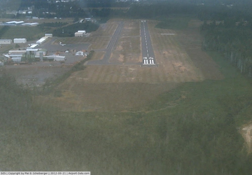
Location:
Bandon, OR
Elevation:
122ft
Sectional:
Klamath Falls
Activation date:
Jan 1958
Fuel:
100LL (prices)
Runway 16/34:
3,601ft
Access: Open to the public
Click/tap to add an annotation marker to the map
No webcams added yet.
Remarks
- Estabd prior to 1959.
- Twy mkd with blue reflectors.
- Deer invof ry & arpt.
- For cd ctc seattle artcc at 253-351-3694.
- Sfc conds not rprtd.
- Actvt mirl ry 16/34; reil rys 16 & 34 and papi rys 16/34 - ctaf.
- Unusbl byd 7 degs right of cntrln
Comments