Pirep is a free, collaborative database of all public and private airports. All pilots are welcome to contribute their local knowledge to any airport, no registration required.


No upcoming events. Is anything happening here soon?
Last updated: 2025-03-19 23:56:15 PDT
Last updated: 2025-03-19 23:55:47 PDT
Airport Statistics
- Webcam links
- General description
- Local flying clubs
Location:
Covington, WA
Elevation:
472ft
Sectional:
Seattle
Activation date:
Mar 1965
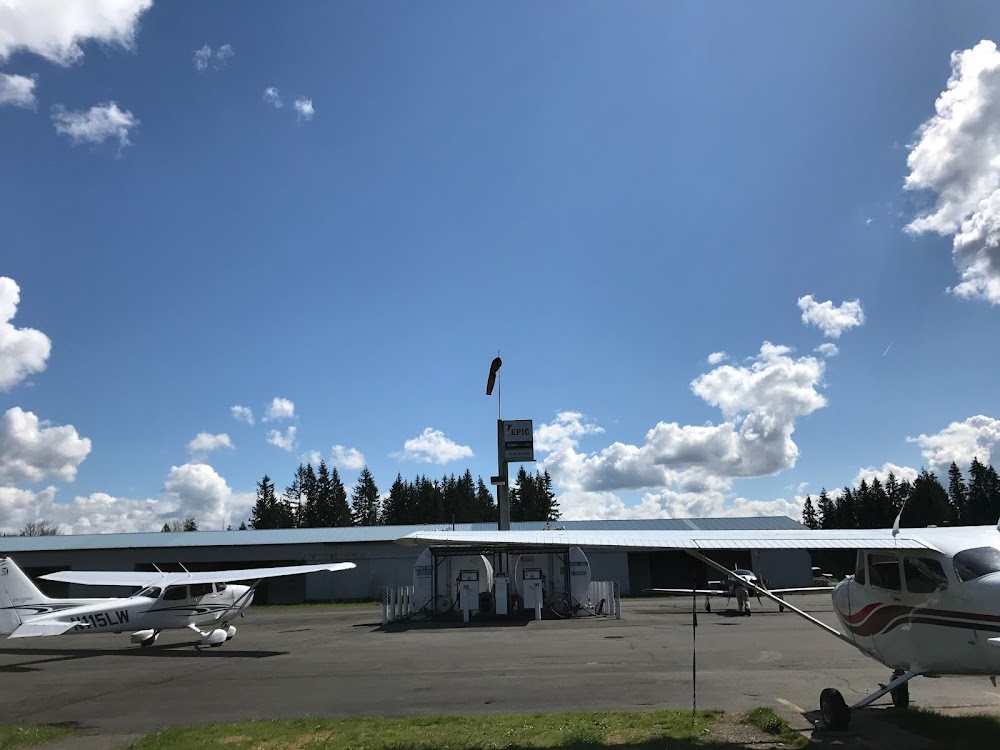
Fuel:
100LL (prices)
Runway 16/34:
3,288ft
Runway 15/33:
3,288ft
Access: Open to the public
This airport is privately owned but open to the public.
Similar Airports

Click/tap to add an annotation marker to the map
No webcams added yet.
Remarks
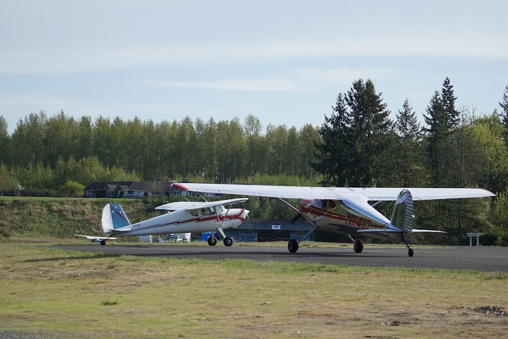
- Trees both sides of rwy in trsn sfc.
- Trees on both sides of rwy 15/33.
- Night ops use rwy 15, wind and wx pmtg.
- Arpt clsd when snow on rwy.
- For cd ctc seattle apch at 206-214-4723.
- Pilots bring own tiedowns.
- 24 hr credit card fuel avbl.
- 15/33 nstd markings nrs & cntrln only; faded.
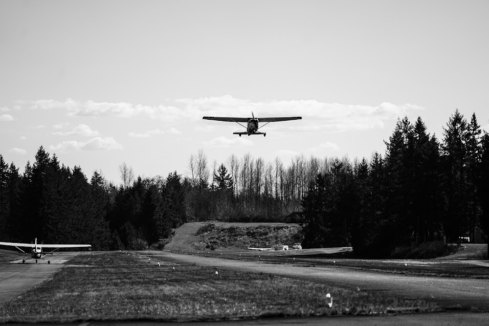
For both directions dogleg finals are useful due to tall trees on extended centerlines. Traffic holding short may not be able to see traffic on final due to trees. With crosswind conditions expect burbles off the trees. The airport can be hard to see from the air if you are not actively looking for it and traffic inbound to Auburn from the east sometimes transits across the area at this field’s pattern altitude without recognizing there is a airport in the vicinity.