Pirep is a free, collaborative database of all public and private airports. All pilots are welcome to contribute their local knowledge to any airport, no registration required.
No upcoming events. Is anything happening here soon?
Last updated: 2023-04-10 18:03:20 PDT
Last updated: 2023-05-07 21:13:43 PDT
Airport Statistics
Location:
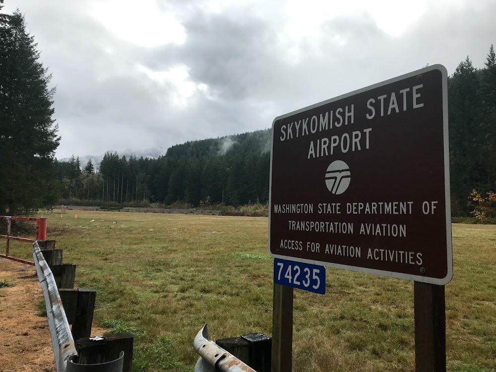
Skykomish, WA
Elevation:
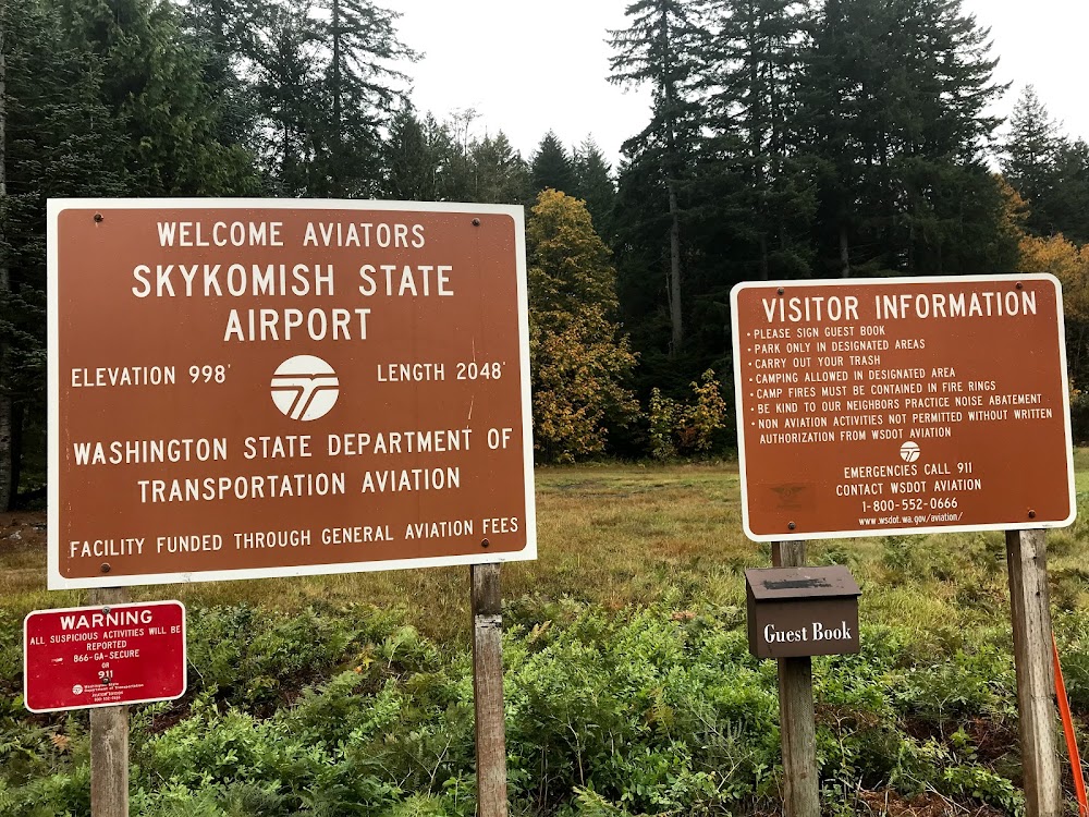
1,002ft
Sectional:
Seattle
Activation date:
Oct 1949
Fuel:
None
Runway 06/24:
2,050ft
Access: Open to the public
Similar Airports
Click/tap to add an annotation marker to the map
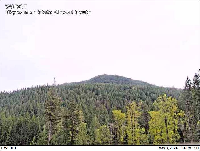
Remarks
- Estabd prior to 15 may 1959.
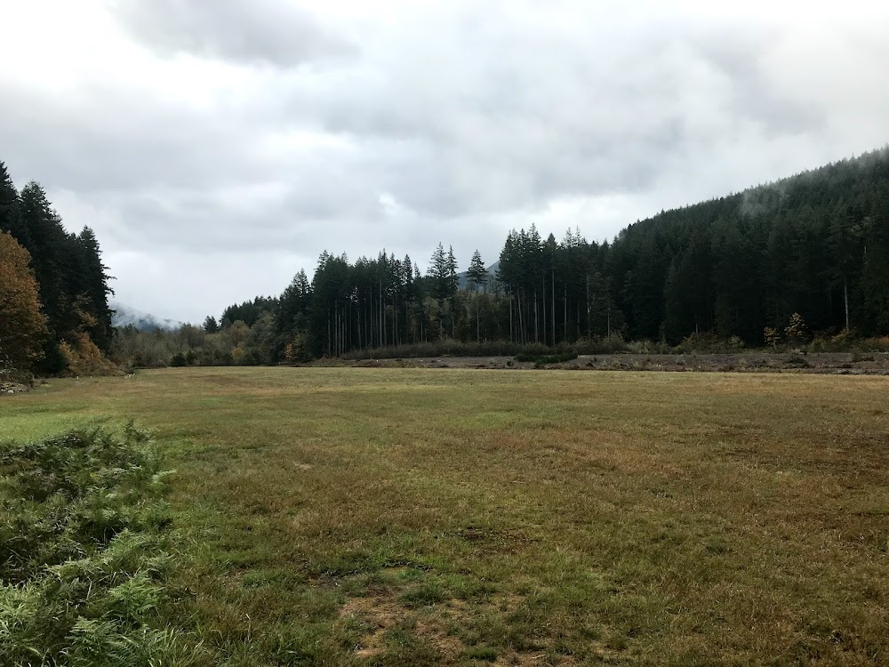
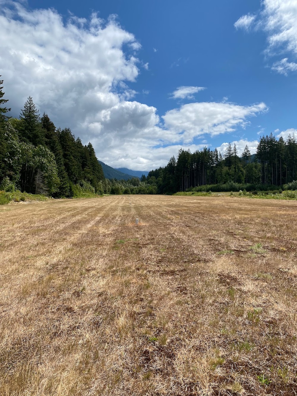
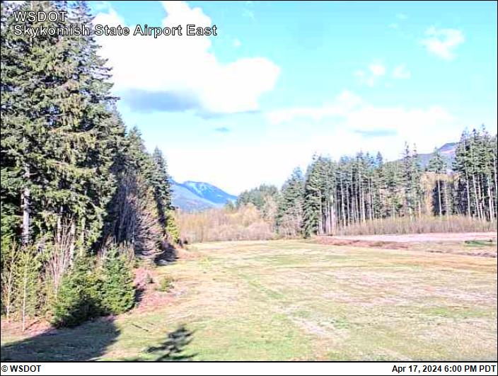
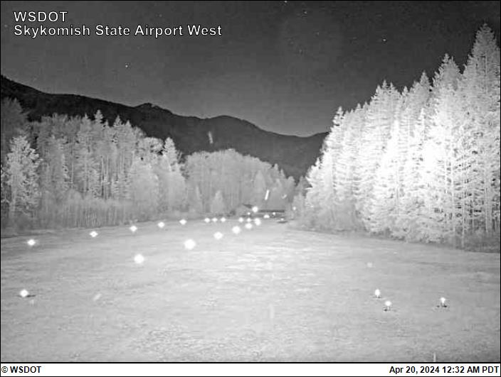
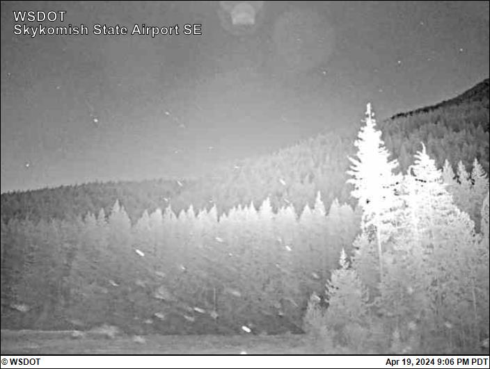
- Mtns surround arpt.
- Arpt clsd 1 oct-1 jun exc for approved mil & public/law enforcement heli ops.
- Ctc wa state aviation division 360-709-8015 or 1-800-552-0666 wa area for facility info prior to use.
- Trees and ditches in primary sfc both sides of rwy.
- Vehicles, pedestrians, and animals on & invof ry.
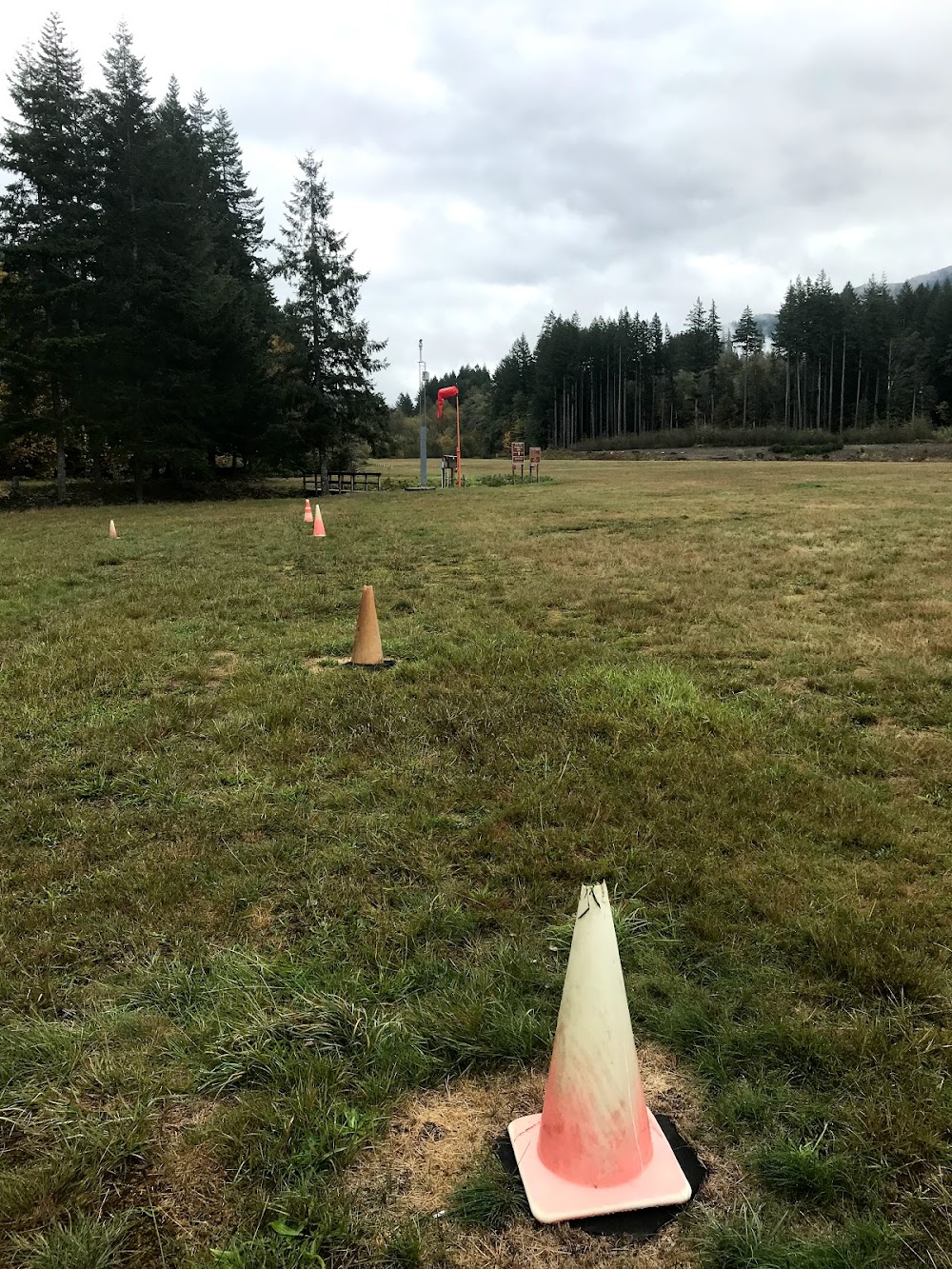
- Ry marked with reflectors during dates arpt is open.
- For acft accidents/incidents ctc wa state emergency operations center 800-258-5990.

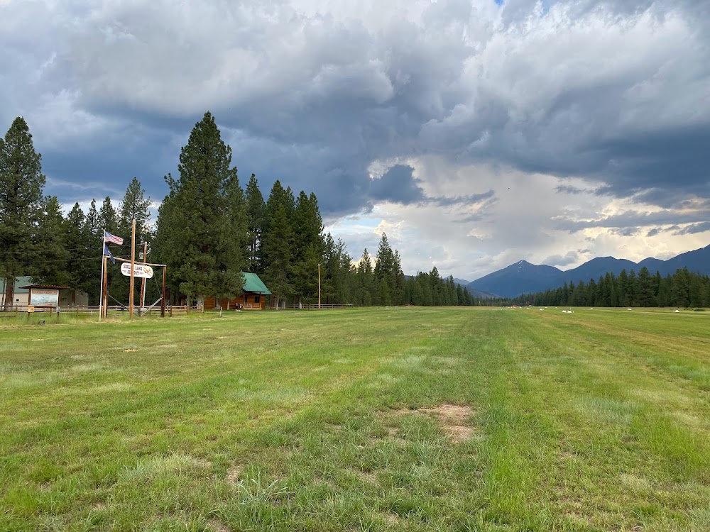
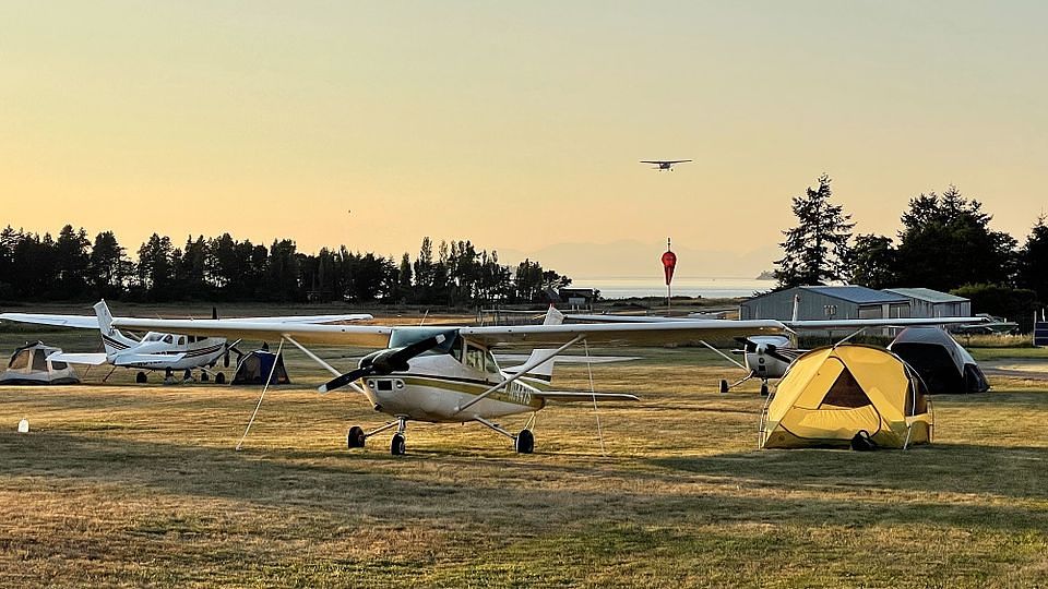
Best approach access from the east. Dropoff at west end of runway. Check with WSDOT regarding when open. BBQ pit and shelter mid-field North side.