Pirep is a free, collaborative database of all public and private airports. All pilots are welcome to contribute their local knowledge to any airport, no registration required.


Public
Undocumented
METAR / TAF
Edit Tags
No upcoming events. Is anything happening here soon?
Airport Statistics
- Tags
- Fuel pump location
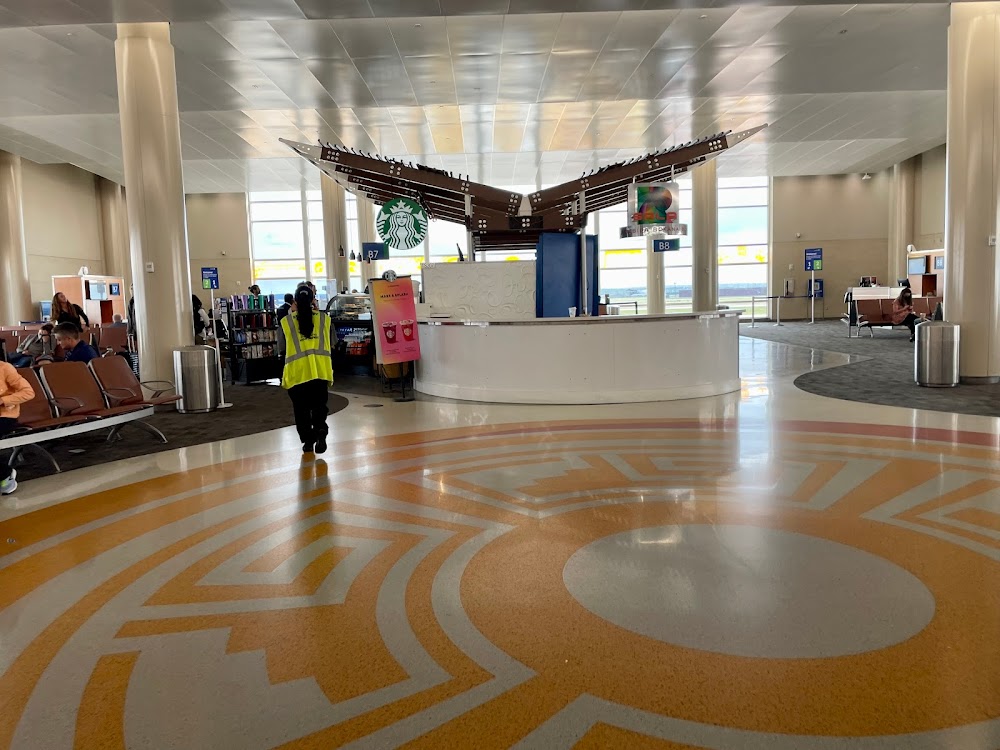
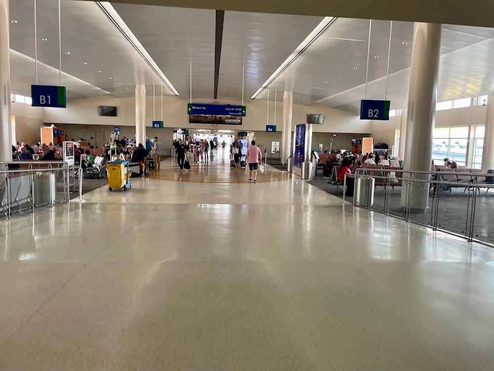
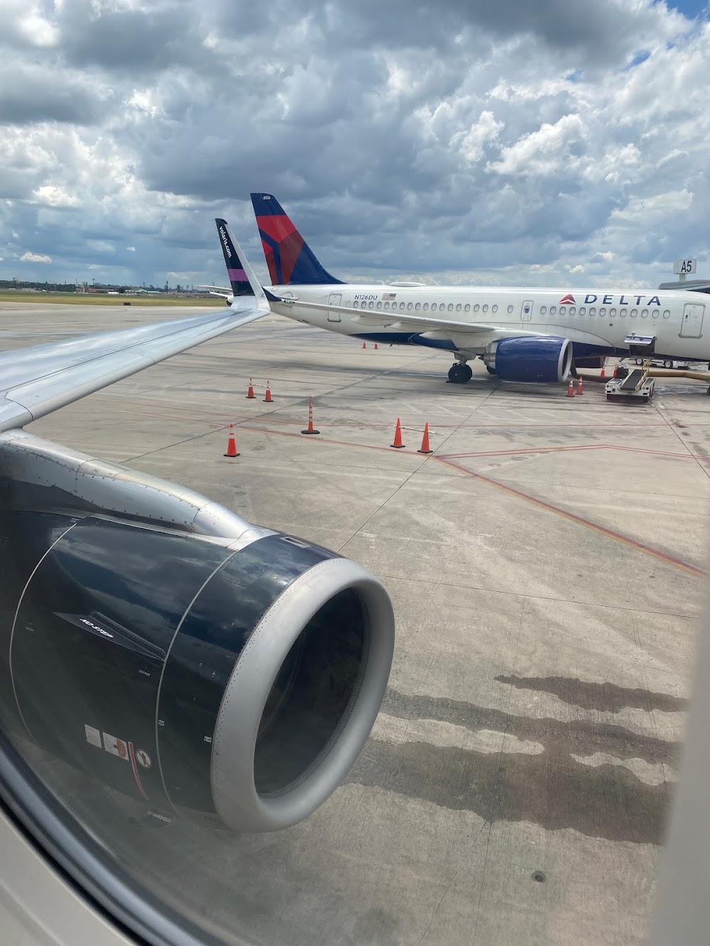
- Airport photos
Location:
San Antonio, TX
Elevation:
809ft
Sectional:
San Antonio
Activation date:
Jul 1942
Fuel:
100LL, A (prices)
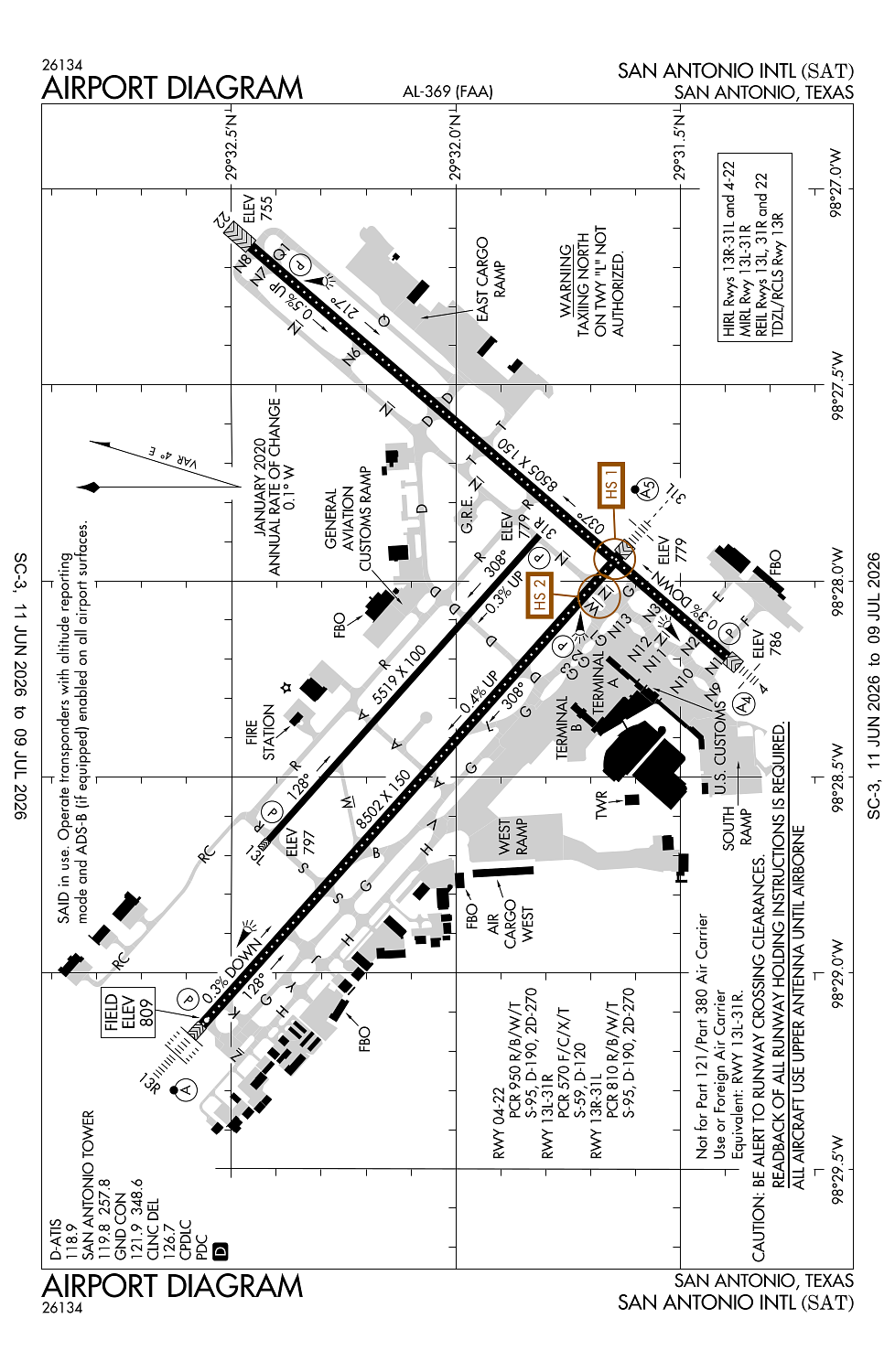
Runway 04/22:
8,505ft
Runway 13R/31L:
8,502ft
Runway 13L/31R:
5,519ft
Access: Open to the public
Current Weather — VFR
-
Weather data is strictly informational and not for flight planning purposes.
-
METAR2026-07-20 22:51:00 CDT
Ceiling: Sky clear Wind: 130° @ 10kt Temperature: 84°F Dewpoint: 71°F Weather: N/A Visbility: 10SM Clouds: Scattered @ 25,000ft Raw:METAR KSAT 210351Z 13010KT 10SM SCT250 29/22 A2992 RMK AO2 SLP112 T02890217 -
TAF2026-07-20 22:00:00 CDT – 2026-07-22 01:00:00 CDT
Ceiling: Sky clear Wind: 190° @ 8kt Weather: N/A Visbility: 6SM Clouds: Scattered @ 25,000ft Raw:TAF KSAT 210253Z 2103/2206 19008KT P6SM SCT250
Click/tap to add an annotation marker to the map
No webcams added yet.
Remarks
- Twy l clsd northbound.
- Numerous flocks of birds invof arpt.
- Glider/soaring opns aprxly 17 miles nw of arpt durg vfr.
- Twy d non-movement area fm twy n to 500 ft w of twy n.
- Noise sensitive areas exist on all sides of arpt, at pilots discretion climb as quickly and quietly as safely possible on departure and use consideration when flying over populated areas by minimizing flt and high pwr settings. military aircraft: departing and arriving aircraft will use minimum power settings consistent with aircraft flight manuals, afterburner takeoff is prohibited unless required for safety of flight. engine-ups are permitted btn 0600-2300.
Comments