Pirep is a free, collaborative database of all public and private airports. All pilots are welcome to contribute their local knowledge to any airport, no registration required.


Public
Undocumented
METAR / TAF
Edit Tags
No upcoming events. Is anything happening here soon?
Airport Statistics
- Webcam links
- Tags
- Transient parking location
Location:
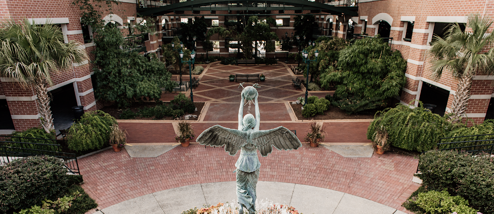
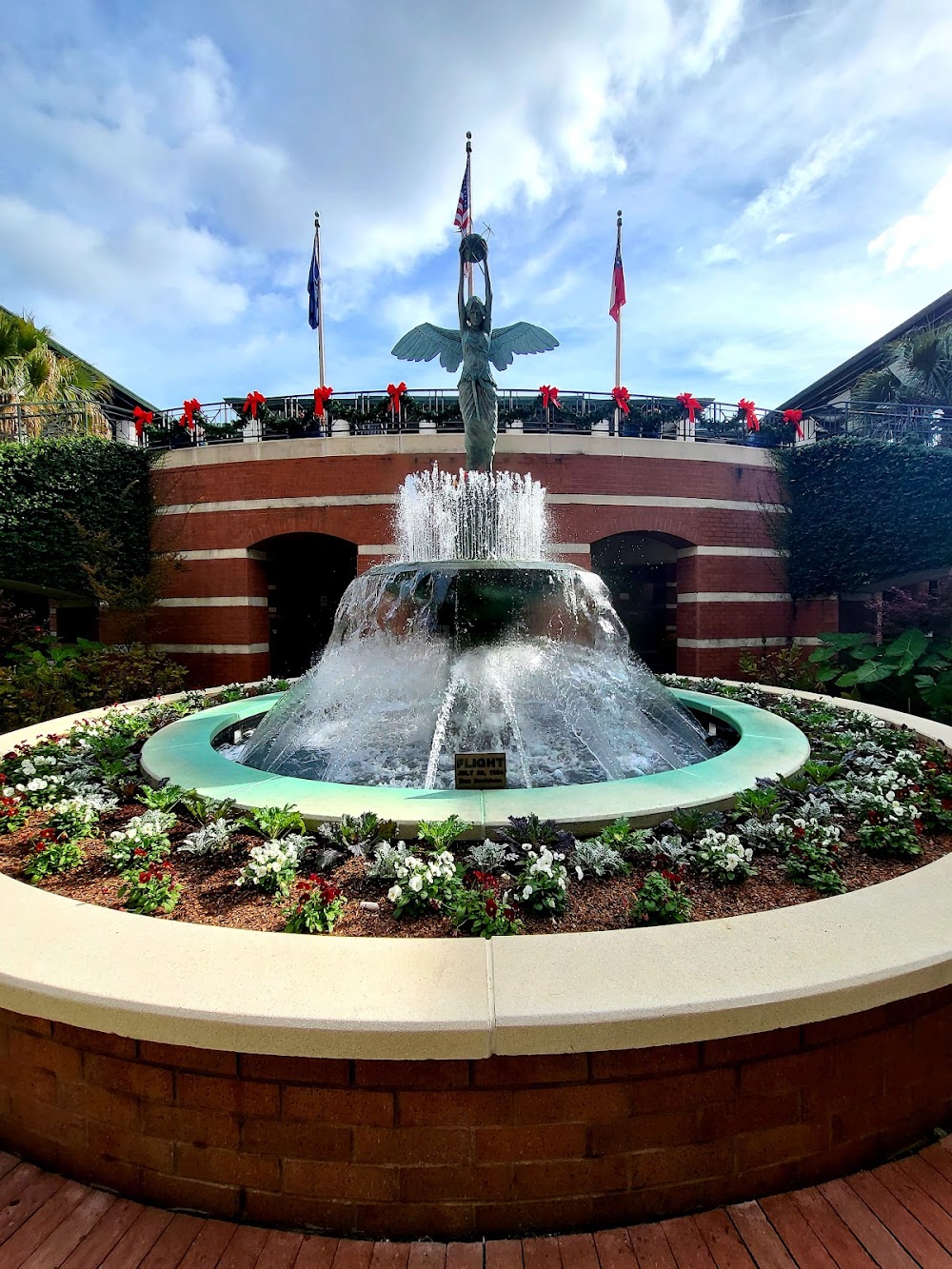
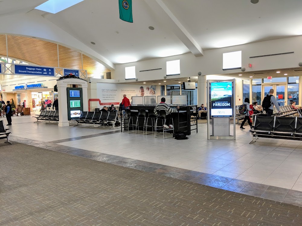
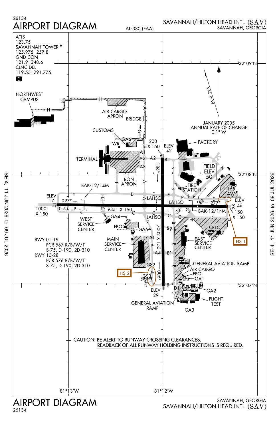
Savannah, GA
Elevation:
50ft
Sectional:
Atlanta
Activation date:
Sep 1942
Fuel:
100LL, A, A+, A++ (prices)
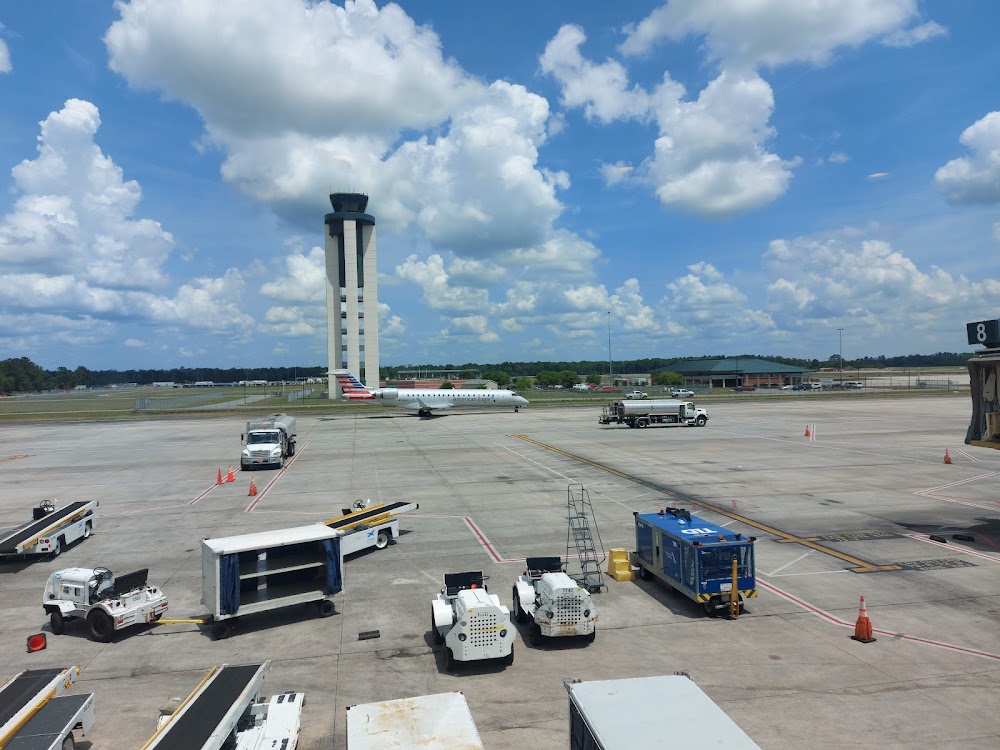
Runway 10/28:
9,351ft
Runway 01/19:
7,002ft
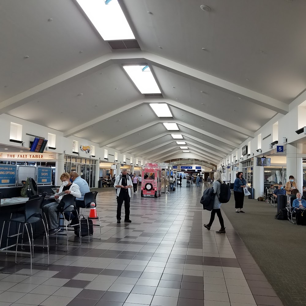
Access: Open to the public
Current Weather — VFR
-
Weather data is strictly informational and not for flight planning purposes.
-
METAR2026-07-20 23:53:00 EDT
Ceiling: Sky clear Wind: 160° @ 5kt Temperature: 82°F Dewpoint: 77°F Weather: N/A Visbility: 10SM Clouds: Few @ 2,400ft Raw:METAR KSAV 210353Z 16005KT 10SM FEW024 28/25 A2997 RMK AO2 SLP149 LAST T02830250 -
TAF2026-07-20 20:00:00 EDT – 2026-07-20 22:00:00 EDT
Ceiling: Sky clear Wind: 150° @ 10kt, gusts 17kt Weather: N/A Visbility: 6SM Clouds: Few @ 25,000ft Raw:TAF KSAV 202329Z 2100/2124 15010G17KT P6SM FEW250 FM210200 19006KT P6SM SCT250 FM211300 20009KT P6SM FEW030 FM211600 18012G19KT P6SM FEW050 FM212000 16013G20KT P6SM FEW250 -
TAF2026-07-20 22:00:00 EDT – 2026-07-21 09:00:00 EDT
Ceiling: Sky clear Wind: 190° @ 6kt Weather: N/A Visbility: 6SM Clouds: Scattered @ 25,000ft Raw:TAF KSAV 202329Z 2100/2124 15010G17KT P6SM FEW250 FM210200 19006KT P6SM SCT250 FM211300 20009KT P6SM FEW030 FM211600 18012G19KT P6SM FEW050 FM212000 16013G20KT P6SM FEW250 -
TAF2026-07-21 09:00:00 EDT – 2026-07-21 12:00:00 EDT
Ceiling: Sky clear Wind: 200° @ 9kt Weather: N/A Visbility: 6SM Clouds: Few @ 3,000ft Raw:TAF KSAV 202329Z 2100/2124 15010G17KT P6SM FEW250 FM210200 19006KT P6SM SCT250 FM211300 20009KT P6SM FEW030 FM211600 18012G19KT P6SM FEW050 FM212000 16013G20KT P6SM FEW250 -
TAF2026-07-21 12:00:00 EDT – 2026-07-21 16:00:00 EDT
Ceiling: Sky clear Wind: 180° @ 12kt, gusts 19kt Weather: N/A Visbility: 6SM Clouds: Few @ 5,000ft Raw:TAF KSAV 202329Z 2100/2124 15010G17KT P6SM FEW250 FM210200 19006KT P6SM SCT250 FM211300 20009KT P6SM FEW030 FM211600 18012G19KT P6SM FEW050 FM212000 16013G20KT P6SM FEW250 -
TAF2026-07-21 16:00:00 EDT – 2026-07-21 20:00:00 EDT
Ceiling: Sky clear Wind: 160° @ 13kt, gusts 20kt Weather: N/A Visbility: 6SM Clouds: Few @ 25,000ft Raw:TAF KSAV 202329Z 2100/2124 15010G17KT P6SM FEW250 FM210200 19006KT P6SM SCT250 FM211300 20009KT P6SM FEW030 FM211600 18012G19KT P6SM FEW050 FM212000 16013G20KT P6SM FEW250
Click/tap to add an annotation marker to the map
No webcams added yet.
Remarks
- Birds & deer on & invof of arpt. air carrier acft ctc gnd prior to push back from all gates. pilots should complete all calculations prior to push back fm trml gate. opr transponders with alt reporting mode and ads-b (if equipped) enabled on all airport surfaces.
- No 180 deg turns on asph for acft over 12500 lbs gross.
- Ppr for aces of gen avn acft on the acr trml ramp ctc 912-964-7501.
- Twy a, twy b twy c, twy d, twy e, twy f, twy g and twy h are ltd to dual wheel acft up to 173,000 lbs and dual tandem wheel acft up to 310,000 lbs.
- Twy b2, c2 are limited to 12500 lbs.
Comments