Pirep is a free, collaborative database of all public and private airports. All pilots are welcome to contribute their local knowledge to any airport, no registration required.
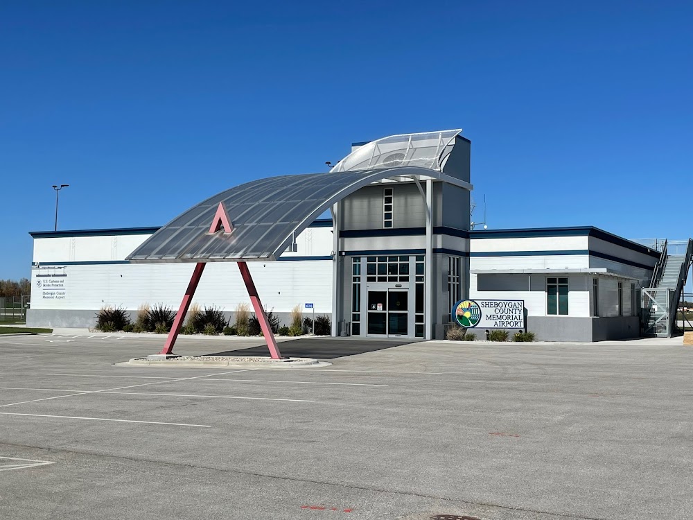


No upcoming events. Is anything happening here soon?
Last updated: 2023-05-27 23:15:32 CDT
Airport Statistics
- Landing & tie-down fees
- Webcam links
- WiFi availability
Location:
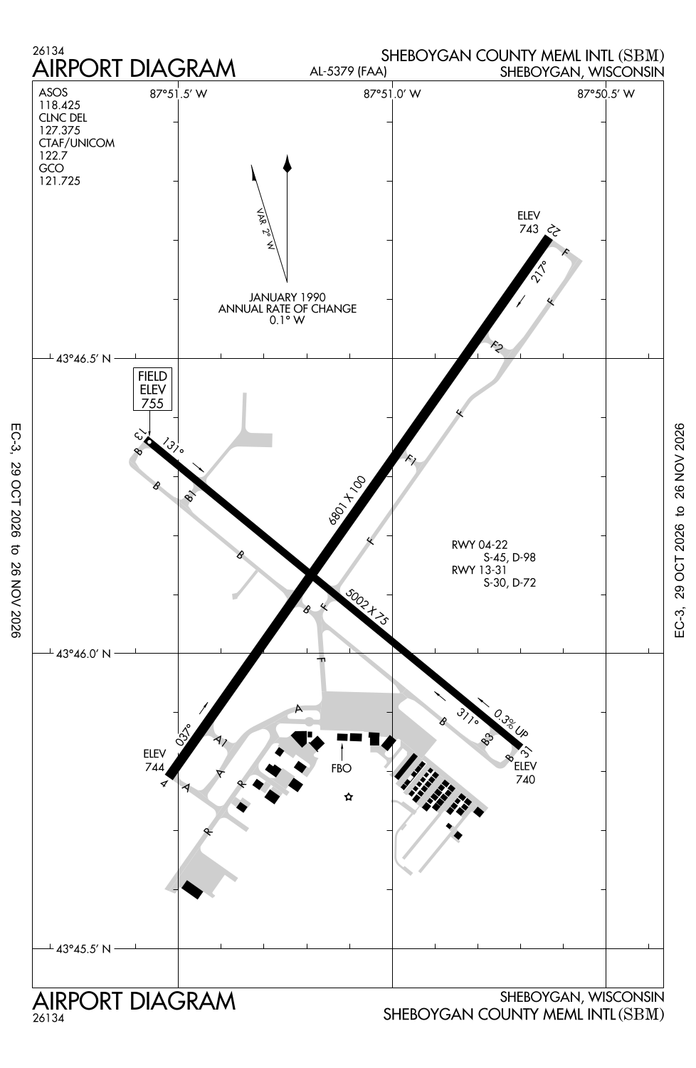
Sheboygan, WI
Elevation:
755ft
Sectional:
Chicago
Activation date:
Oct 1946
Fuel:
100LL, A, A+
Runway 04/22:
6,801ft
Runway 13/31:
5,002ft
Access: Open to the public
Similar Airports
Current Weather — VFR
-
Weather data is strictly informational and not for flight planning purposes.
-
METAR2026-10-30 08:53:00 CDT
Ceiling: Sky clear Wind: 340° @ 6kt Temperature: 41°F Dewpoint: 35°F Weather: N/A Visbility: 10SM Raw:METAR KSBM 301353Z AUTO 34006KT 10SM CLR 05/02 A3039 RMK AO2 SLP295 T00500022 -
TAF2026-10-30 07:00:00 CDT – 2026-10-30 15:00:00 CDT
Ceiling: Sky clear Wind: Variable Weather: N/A Visbility: 6SM Clouds: Few @ 25,000ft Raw:TAF KSBM 301120Z 3012/3112 VRB04KT P6SM FEW250 FM302000 VRB03KT P6SM SCT040 BKN080 -
TAF2026-10-30 15:00:00 CDT – 2026-10-31 07:00:00 CDT
Ceiling: 8,000ft Wind: Variable Weather: N/A Visbility: 6SM Clouds: Scattered @ 4,000ft, Broken @ 8,000ft Raw:TAF KSBM 301120Z 3012/3112 VRB04KT P6SM FEW250 FM302000 VRB03KT P6SM SCT040 BKN080
Click/tap to add an annotation marker to the map
No webcams added yet.
Remarks
- Ultralight actvty on & in vcnty of arpt.
- Waterfowl & deer on & invof arpt.
- Gco avbl on freq 121.725 thru flt svcs.
- Us cust and bdr protection, ppr us cstms svc mon-fri 1100 - 1900 and otr hours avbl o/r, call 920-335-2225.
- Actvt malsr rwy 22; reil rwy 04; papi rwy 04 & 22 - ctaf. hirl rwy 04/22 & mirl rwy 13/31 preset to low ss-sr; to incr intst & actvt - ctaf. papi rwy 13 & 31 oprs consly.
Comments