Pirep is a free, collaborative database of all public and private airports. All pilots are welcome to contribute their local knowledge to any airport, no registration required.


Public
Undocumented
METAR / TAF
Edit Tags
No upcoming events. Is anything happening here soon?
Airport Statistics
- Landing & tie-down fees
- WiFi availability
- Fuel pump location
Location:
Louisville, KY
Elevation:
500ft
Sectional:
St Louis
Activation date:
Nov 1942
Fuel:
100LL, A, A+ (prices)
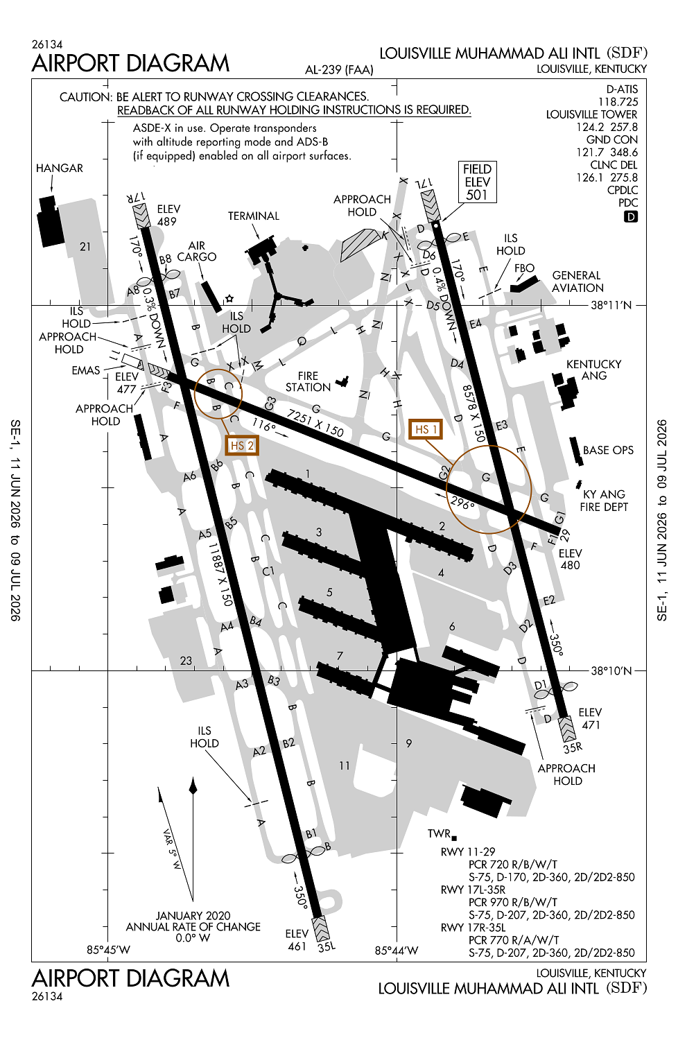
Runway 17R/35L:
11,887ft
Runway 17L/35R:
8,578ft
Runway 11/29:
7,251ft
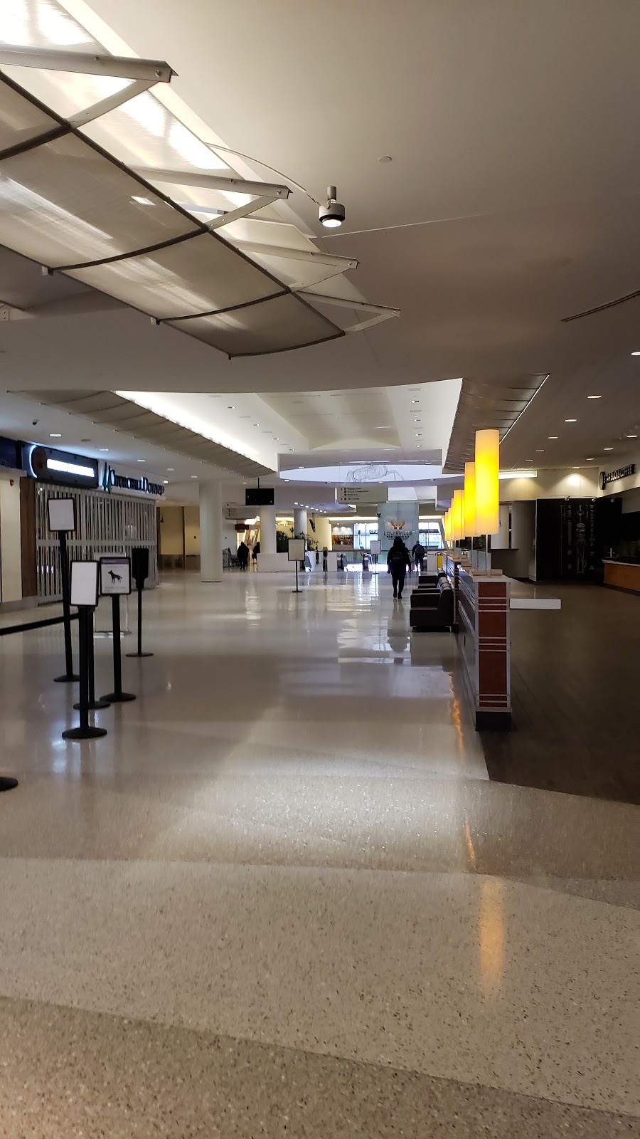
Access: Open to the public
Current Weather — VFR
-
Weather data is strictly informational and not for flight planning purposes.
-
METAR2026-07-15 17:56:00 EDT
Ceiling: 30,000ft Wind: Calm Temperature: 89°F Dewpoint: 68°F Weather: N/A Visbility: 10SM Clouds: Scattered @ 6,000ft, Broken @ 30,000ft Raw:METAR KSDF 152156Z 00000KT 10SM SCT060 BKN300 32/20 A3003 RMK AO2 SLP163 T03220200 -
TAF2026-07-15 14:00:00 EDT – 2026-07-15 20:00:00 EDT
Ceiling: 4,000ft Wind: 200° @ 5kt Weather: N/A Visbility: 6SM Clouds: Broken @ 4,000ft, Broken @ 25,000ft Raw:TAF KSDF 151737Z 1518/1624 20005KT P6SM BKN040 BKN250 FM160000 20004KT P6SM FEW050 SCT250 -
TAF2026-07-15 20:00:00 EDT – 2026-07-16 20:00:00 EDT
Ceiling: Sky clear Wind: 200° @ 4kt Weather: N/A Visbility: 6SM Clouds: Few @ 5,000ft, Scattered @ 25,000ft Raw:TAF KSDF 151737Z 1518/1624 20005KT P6SM BKN040 BKN250 FM160000 20004KT P6SM FEW050 SCT250
Click/tap to add an annotation marker to the map
No webcams added yet.
Remarks
- Existed prior to 1959.
- Birds on & invof arpt.
- Ctn: const in prog; fqt rwy & twy closures psbl.
- Ang/123tac recon.
- Asde-x in use; opr parrot with alt rprtg mode & ads-b if equipped enabled on all arpt sfcs.
Comments