Pirep is a free, collaborative database of all public and private airports. All pilots are welcome to contribute their local knowledge to any airport, no registration required.


Upcoming Events
-
Sat, Aug 1 2026 9:00am – 10:00am
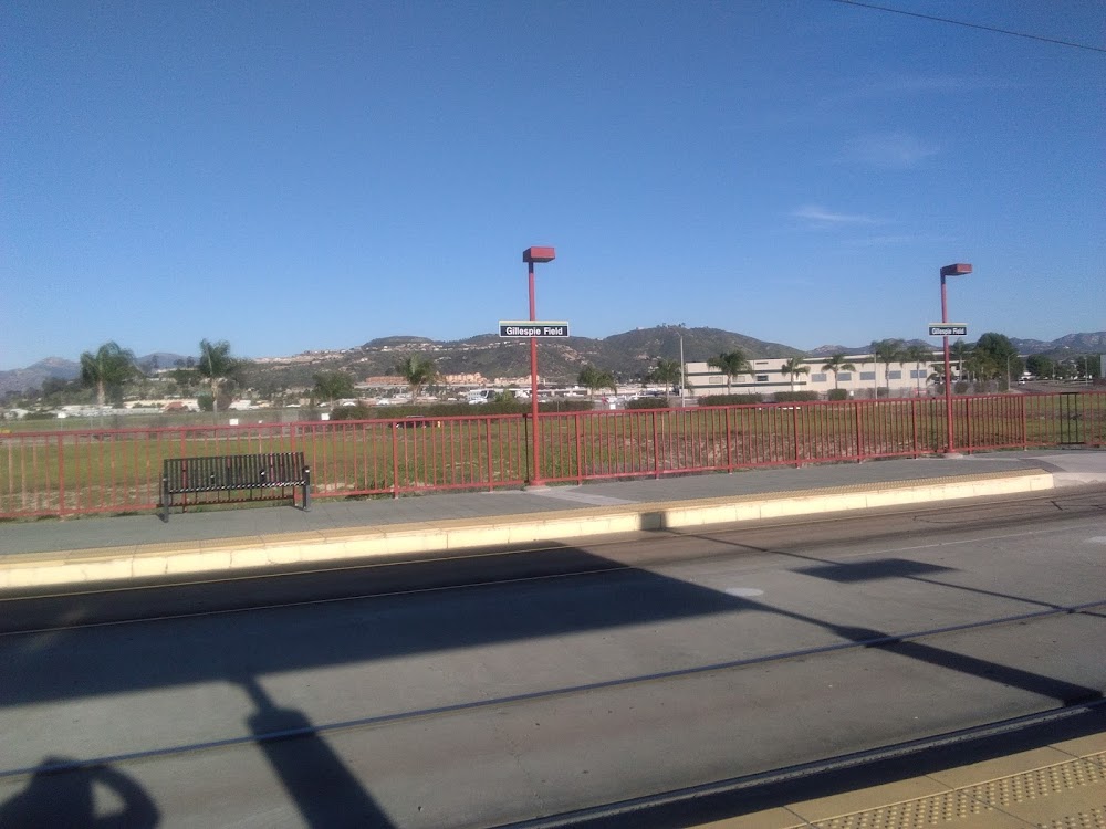
Repeats every month on the first Saturday- Location: Gillespie Field Administration Building, 1960 Joe Crosson Dr, El Cajon, CA 92020
- Event webpage: https://www.gillespiepilotsassociation.org/
Last updated: 2023-06-01 19:45:45 PDT
Last updated: 2026-04-02 17:10:10 PDT
Last updated: 2026-05-03 11:34:26 PDT
Last updated: 2026-04-02 17:22:06 PDT
Last updated: 2024-01-10 18:27:00 PST
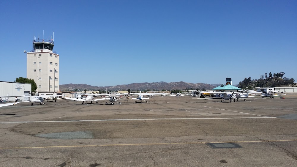
Airport Statistics
Location:
San Diego/El Cajon, CA
Elevation:
387ft
Sectional:
Los Angeles
Activation date:
Dec 1942
Fuel:
100LL, A (prices)
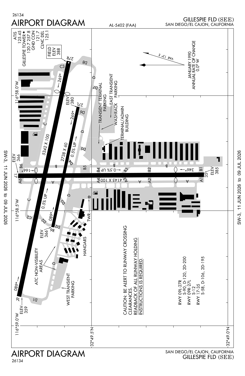
Runway 09L/27R:
5,342ft
Runway 17/35:
4,145ft
Runway 09R/27L:
2,738ft
Access: Open to the public
Similar Airports

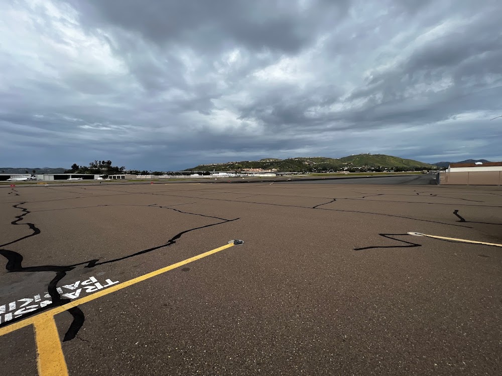
Current Weather — VFR
-
Weather data is strictly informational and not for flight planning purposes.
-
METAR2026-07-15 17:47:00 PDT
Ceiling: Sky clear Wind: 250° @ 6kt Temperature: 89°F Dewpoint: 62°F Weather: N/A Visbility: 10SM Clouds: @ ft Raw:METAR KSEE 160047Z 25006KT 10SM SKC 32/17 A2979
Click/tap to add an annotation marker to the map
Remarks
- This airport has been surveyed by the national geodetic survey.
- Rwy 17-35 tpa 1188 (800) sr-ss, 1388 (1000) ss-sr.
- Rwy 27r cntrln in close alnmt with trrn, use of loc/dme highly rcmdd.
- Formation flt avbl as tfc permits, ltd to no more than 3 acft per formation.
- Rwy 27r tpa 1588 (1200) right tfc sr-ss; tpa 1388 (1000) left tfc ss-sr due to 893 ft agl mountain 2.1 nm ene of arpt. rwy 27l 1388 (1000) left tfc sr-ss.
Comments