Pirep is a free, collaborative database of all public and private airports. All pilots are welcome to contribute their local knowledge to any airport, no registration required.


Public
Undocumented
METAR / TAF
Edit Tags
No upcoming events. Is anything happening here soon?
Airport Statistics
- Tags
- Local flying clubs
- Transient parking location
Location:
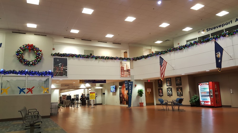
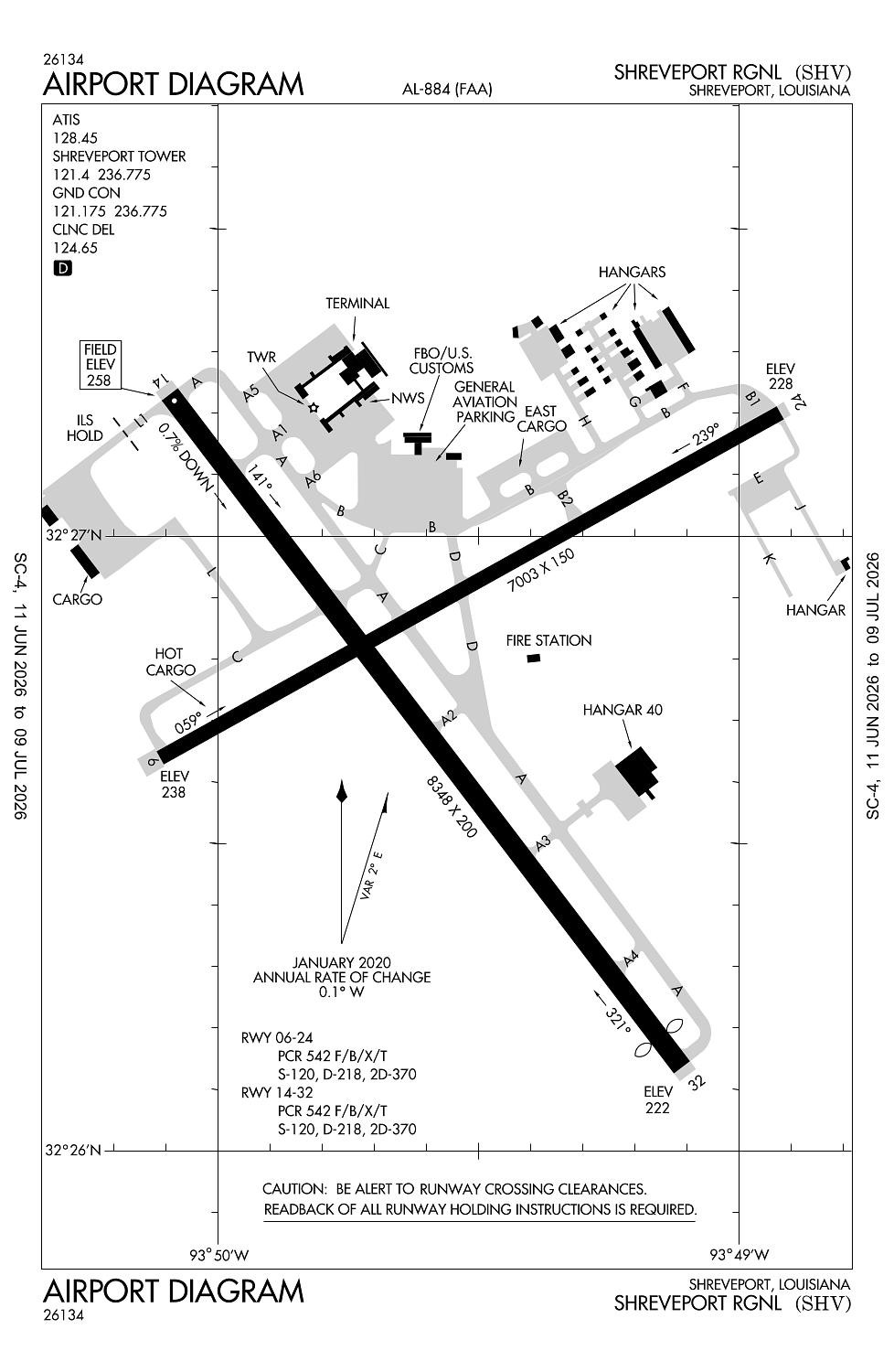
Shreveport, LA
Elevation:
257ft
Sectional:
Memphis
Activation date:
Aug 1952
Fuel:
100LL, A (prices)
Runway 14/32:
8,348ft
Runway 06/24:
7,003ft
Access: Open to the public
Current Weather — VFR
-
Weather data is strictly informational and not for flight planning purposes.
-
METAR2026-07-20 22:56:00 CDT
Ceiling: Sky clear Wind: Calm Temperature: 84°F Dewpoint: 77°F Weather: N/A Visbility: 10SM Raw:METAR KSHV 210356Z 00000KT 10SM CLR 29/25 A2988 RMK SLPNO -
TAF2026-07-20 19:00:00 CDT – 2026-07-21 01:00:00 CDT
Ceiling: Sky clear Wind: Variable Weather: N/A Visbility: 6SM Clouds: Scattered @ 6,000ft, Scattered @ 25,000ft Raw:TAF KSHV 202335Z 2100/2124 VRB03KT P6SM SCT060 SCT250 FM210600 32007KT P6SM SKC FM212000 34006KT P6SM SCT100 -
TAF2026-07-21 01:00:00 CDT – 2026-07-21 15:00:00 CDT
Ceiling: Sky clear Wind: 320° @ 7kt Weather: N/A Visbility: 6SM Clouds: @ ft Raw:TAF KSHV 202335Z 2100/2124 VRB03KT P6SM SCT060 SCT250 FM210600 32007KT P6SM SKC FM212000 34006KT P6SM SCT100 -
TAF2026-07-21 15:00:00 CDT – 2026-07-21 19:00:00 CDT
Ceiling: Sky clear Wind: 340° @ 6kt Weather: N/A Visbility: 6SM Clouds: Scattered @ 10,000ft Raw:TAF KSHV 202335Z 2100/2124 VRB03KT P6SM SCT060 SCT250 FM210600 32007KT P6SM SKC FM212000 34006KT P6SM SCT100
Click/tap to add an annotation marker to the map
No webcams added yet.
Remarks
- Flight notification service (adcus) avbl mon-fri 0800-1700; other times by appointment call 318-635-7873 or 800-973-2867.
- Bird activity invof arpt.
- Lndg fee for all commercial tfc.
- Apch ratio 40:1 fm dsplcd thr.
- Pcr value: 542/f/b/x/t
Comments