Pirep is a free, collaborative database of all public and private airports. All pilots are welcome to contribute their local knowledge to any airport, no registration required.
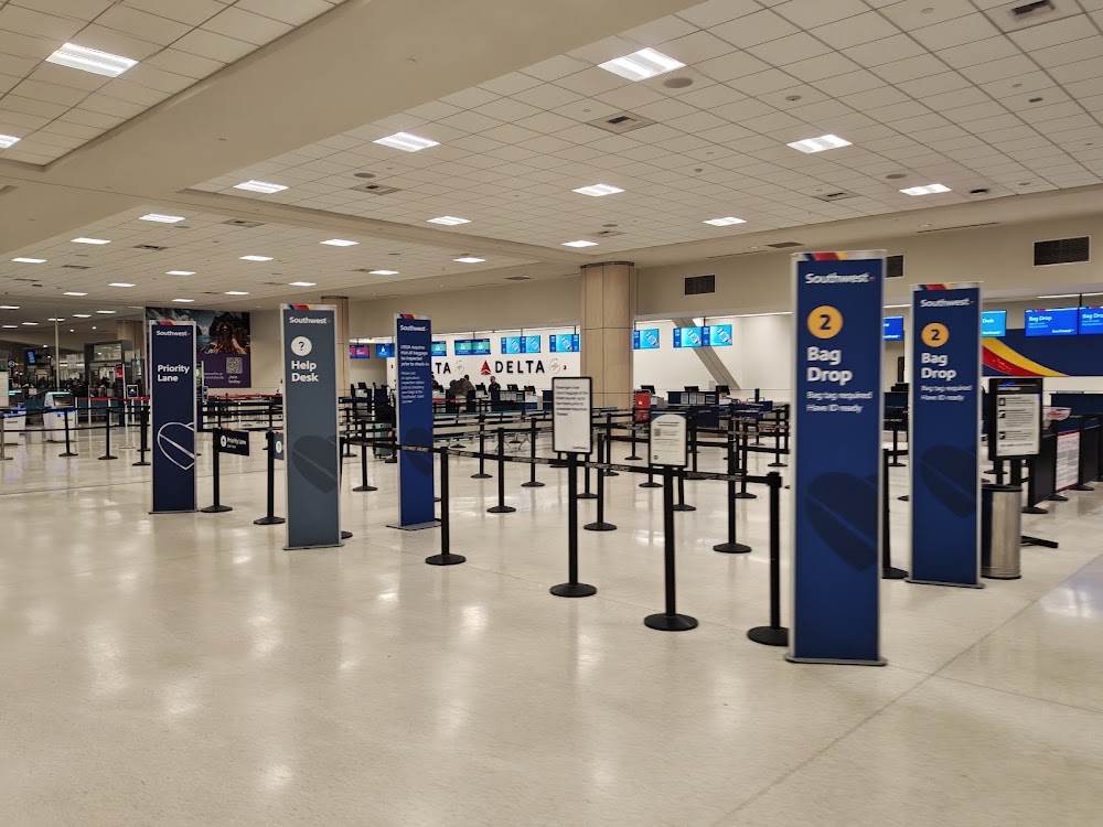
Attribution:
Ngee Lee

Attribution:
Wil Snodgrass

Attribution:
Andrea Whitlock Cagle
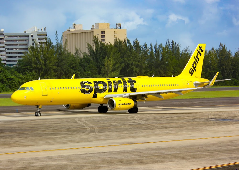
Attribution:
Miguel Vazquez

Attribution:
Marielys Rojas

Attribution:
Rafael Ferrer

Attribution:
jose rios

Attribution:
Prince Randy

Attribution:
M Gonzalez

Attribution:
Mark Kemper
Public
Undocumented
METAR / TAF
Edit Tags
No upcoming events. Is anything happening here soon?
Airport Statistics
- Tags
- Webcam links
- Local flying clubs
Location:
San Juan, PR
Elevation:
9ft
Sectional:
Puerto Rico Virgin Islands
Activation date:
Aug 1952
Fuel:
100, A+, A++
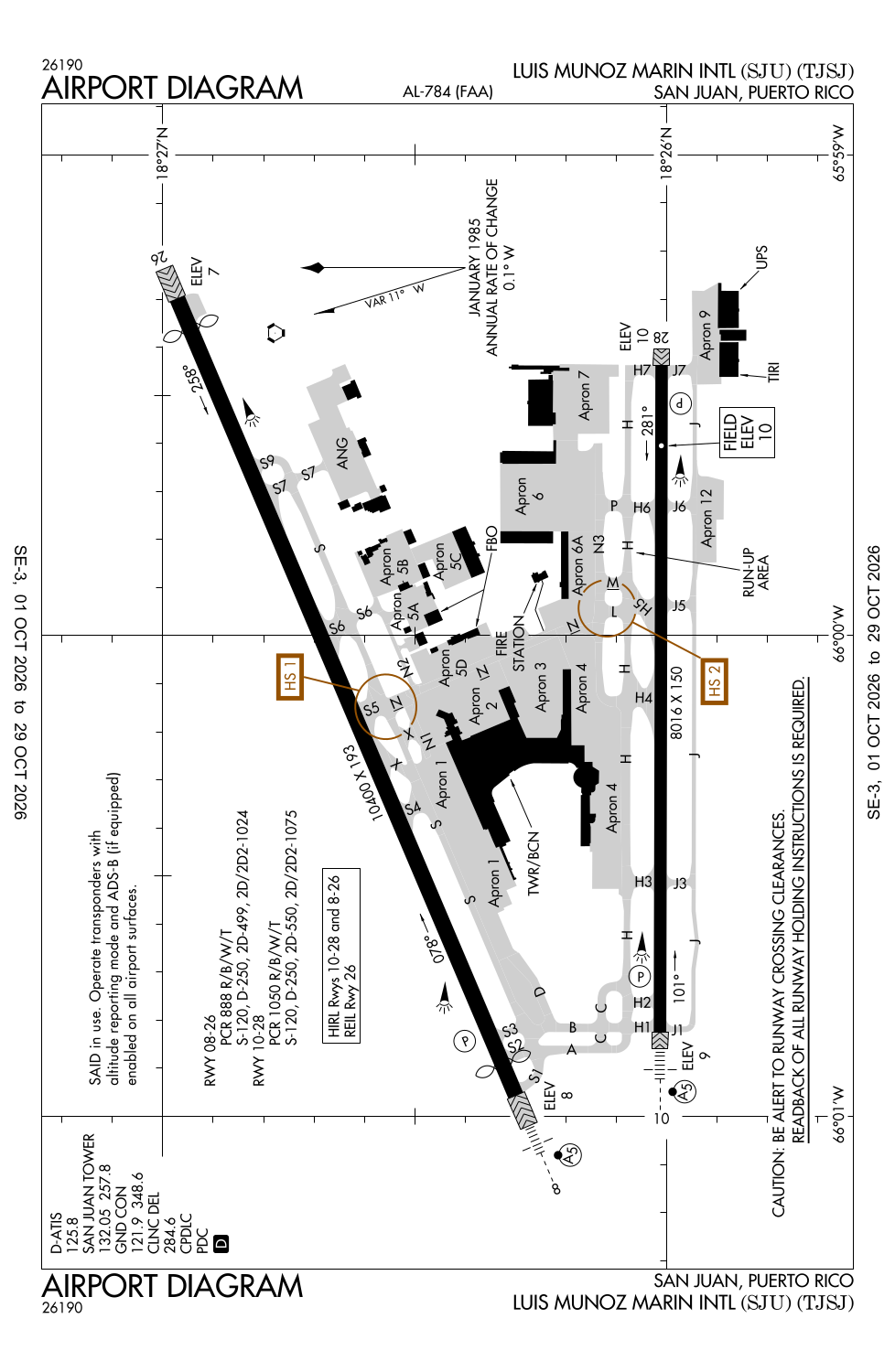
Runway 08/26:
10,400ft
Runway 10/28:
8,016ft
Access: Open to the public
Current Weather — VFR
-
Weather data is strictly informational and not for flight planning purposes.
-
METAR2026-10-24 07:56:00 AST
Ceiling: 9,500ft Wind: Calm Temperature: 84°F Dewpoint: 77°F Weather: N/A Visbility: 10SM Clouds: Few @ 2,400ft, Scattered @ 7,500ft, Broken @ 9,500ft Raw:METAR TJSJ 241156Z 00000KT 10SM FEW024 SCT075 BKN095 29/25 A2997 RMK AO2 SLP149 60000 T02890250 10289 20267 53015 $ -
TAF2026-10-24 08:00:00 AST – 2026-10-24 09:00:00 AST
Ceiling: Sky clear Wind: Variable Weather: Showers in vicinity Visbility: 6SM Clouds: Few @ 2,500ft, Scattered @ 6,000ft Raw:TAF TJSJ 241126Z 2412/2512 VRB03KT P6SM VCSH FEW025 SCT060 FM241300 13010KT P6SM -SHRA SCT025 SCT050 FM242300 16005KT P6SM FEW030 SCT050 -
TAF2026-10-24 09:00:00 AST – 2026-10-24 19:00:00 AST
Ceiling: Sky clear Wind: 130° @ 10kt Weather: Light rain showers Visbility: 6SM Clouds: Scattered @ 2,500ft, Scattered @ 5,000ft Raw:TAF TJSJ 241126Z 2412/2512 VRB03KT P6SM VCSH FEW025 SCT060 FM241300 13010KT P6SM -SHRA SCT025 SCT050 FM242300 16005KT P6SM FEW030 SCT050 -
TAF2026-10-24 19:00:00 AST – 2026-10-25 08:00:00 AST
Ceiling: Sky clear Wind: 160° @ 5kt Weather: N/A Visbility: 6SM Clouds: Few @ 3,000ft, Scattered @ 5,000ft Raw:TAF TJSJ 241126Z 2412/2512 VRB03KT P6SM VCSH FEW025 SCT060 FM241300 13010KT P6SM -SHRA SCT025 SCT050 FM242300 16005KT P6SM FEW030 SCT050
Click/tap to add an annotation marker to the map
No webcams added yet.
Remarks
- Apron 12 avbl for ga acft only.
- Ang military apron - offl bus. no ovngt prkg allowed. opr 1130-2000z mon-fri, clsd wkend and hol. ppr dsn 740-9629, c787-253-7629. all tran acft ctc comd post uhf 235.0, 20 min prior to ldg and prior to eng start.
- Twy j btn j1 and j5 (not including j5) clsd to acft with greater than 118 ft wingspan.
- Twy s btn twy s2 and twy s5 clsd lgtd and barricaded.
- engine runups prohibited on gates area.
Comments