Pirep is a free, collaborative database of all public and private airports. All pilots are welcome to contribute their local knowledge to any airport, no registration required.

Public
Undocumented
METAR / TAF
Edit Tags
No upcoming events. Is anything happening here soon?
Airport Statistics
- Landing & tie-down fees
- Webcam links
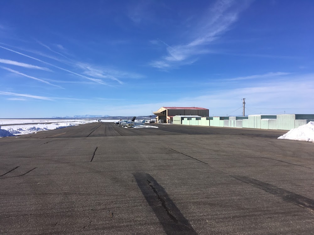
- General description
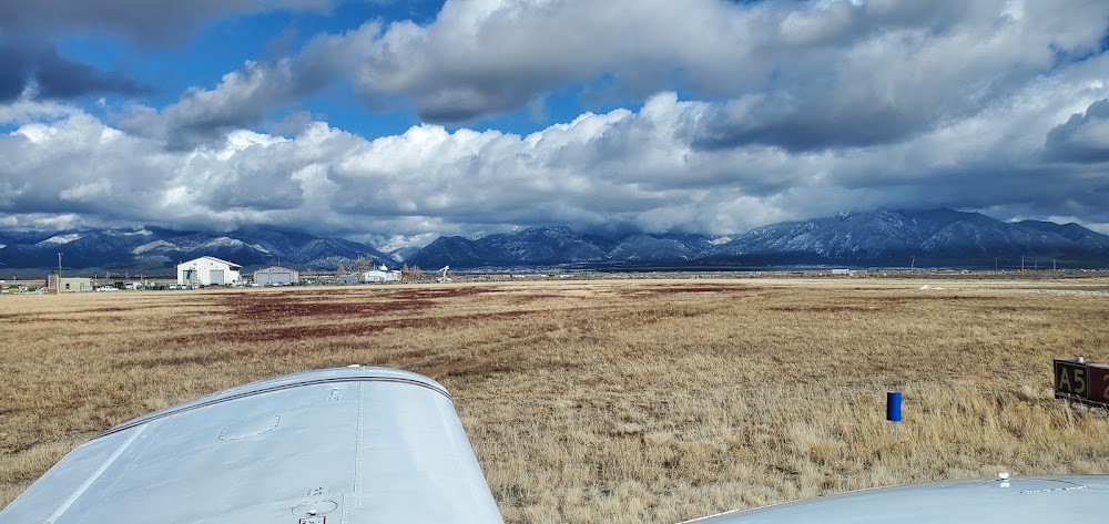
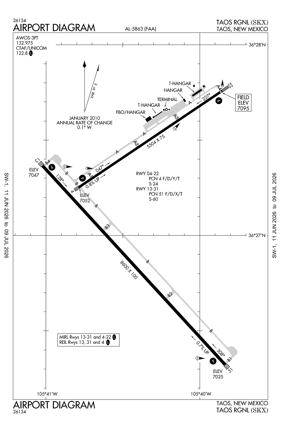
Location:
Taos, NM
Elevation:
7,094ft
Sectional:
Denver
Activation date:
Mar 1967
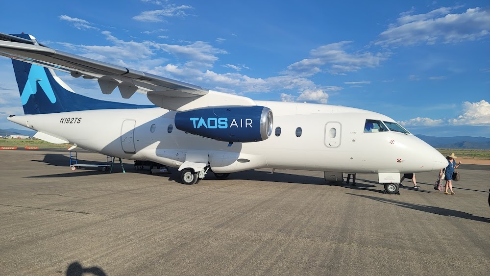
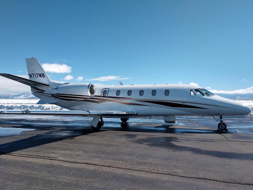
Fuel:
100LL, A1+ (prices)
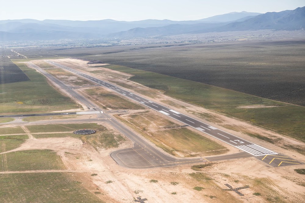
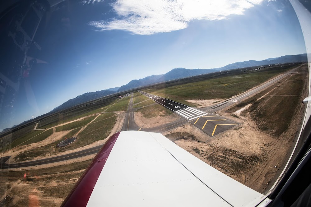
Runway 13/31:
8,600ft
Runway 04/22:
5,504ft
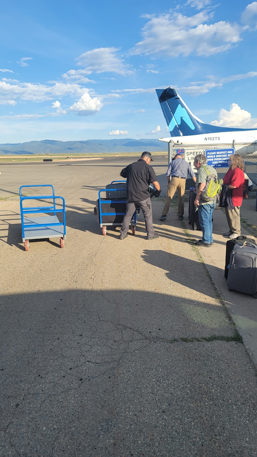
Access: Open to the public
Click/tap to add an annotation marker to the map
No webcams added yet.
Remarks
- This airport has been surveyed by the national geodetic survey.
- Avoid overflight of taos pueblo world heritage site 5 nm east of arpt.
- Rwy 04/22 parallel twy has retro-reflectors.
- Wildlife invof arpt.
- For cd if una to ctc on fss freq, ctc albuquerque artcc at 505-856-4561.
Comments