Pirep is a free, collaborative database of all public and private airports. All pilots are welcome to contribute their local knowledge to any airport, no registration required.
Public
Undocumented
METAR / TAF
Edit Tags
No upcoming events. Is anything happening here soon?
Airport Statistics
- Crew car availability
- Webcam links
- Landing & tie-down fees
Location:
Storm Lake, IA
Elevation:
1,487ft
Sectional:
Omaha
Activation date:
Jan 1946
Fuel:
100, A
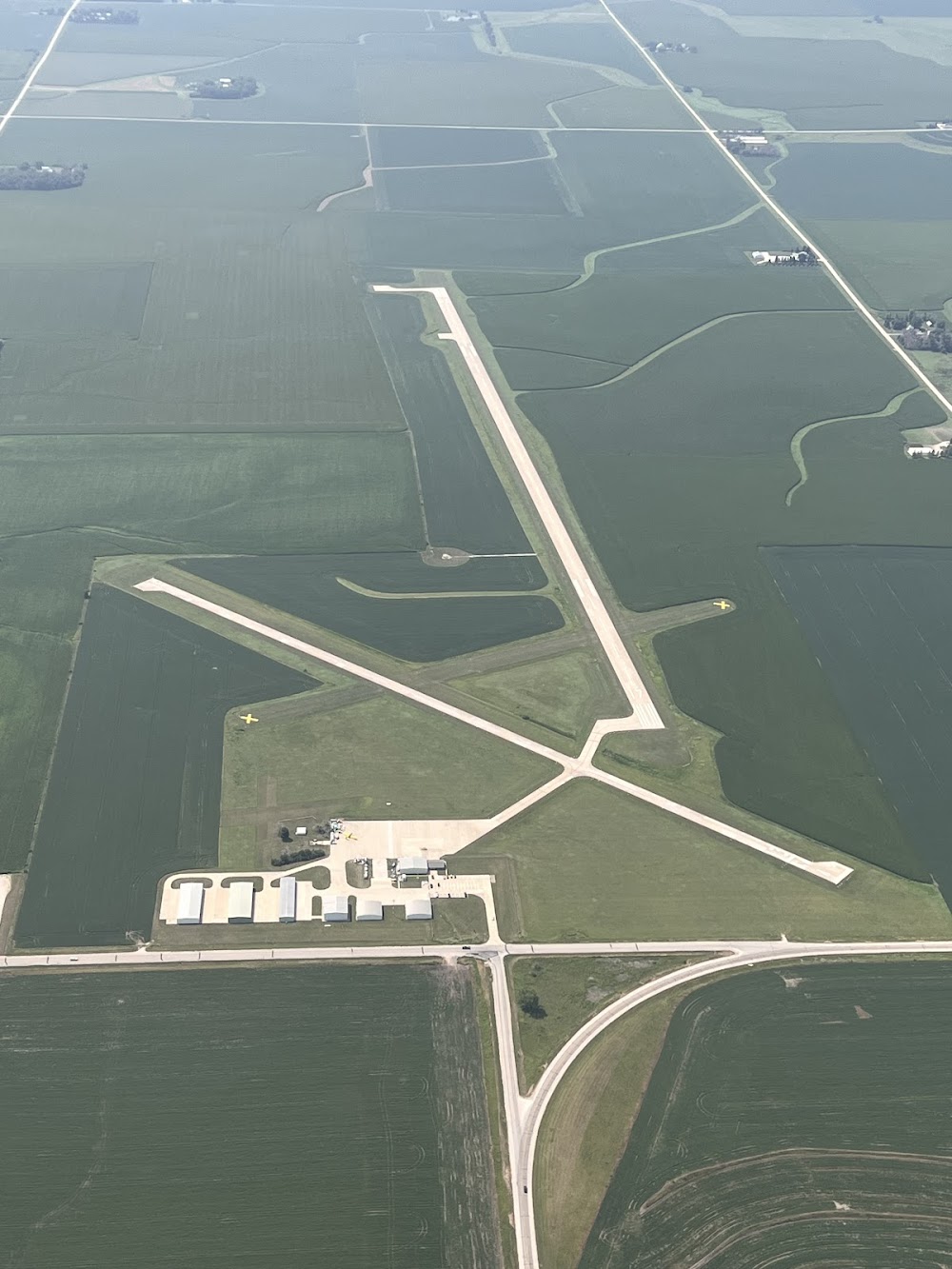
Runway 17/35:
5,002ft
Runway 13/31:
3,034ft
Runway 06/24:
1,962ft
Access: Open to the public
Current Weather — VFR
-
Weather data is strictly informational and not for flight planning purposes.
-
METAR2026-10-24 04:10:00 CDT
Ceiling: Sky clear Wind: 170° @ 10kt Temperature: 59°F Dewpoint: 48°F Weather: N/A Visbility: 10SM Raw:METAR KSLB 240910Z AUTO 17010KT 10SM CLR 15/09 A3013 RMK AO2
Click/tap to add an annotation marker to the map
No webcams added yet.
Remarks
- Provided apch to each ry clear for a 20:1 glide slope & mntn a clear trsnl sfc for a 7:1 slope.
- Ry 35 is calm wind ry.
- For cd ctc minneapolis artcc at 651-463-5588.
- Actvt mirl rwy 13/31 & rwy 17/35 & reil rwy 17 & 35- ctaf. papi rwys 17 & 35 oper continuously.
- For attandant after hrs call 712-732-6301.
- Evening phone 712-732-6301
- 06/24 marked with yellow cones.
- Apch ratio fm dsplcd thr 26:1.
Comments