Pirep is a free, collaborative database of all public and private airports. All pilots are welcome to contribute their local knowledge to any airport, no registration required.
Public
Undocumented
METAR / TAF
Edit Tags
No upcoming events. Is anything happening here soon?
Airport Statistics
- Tags
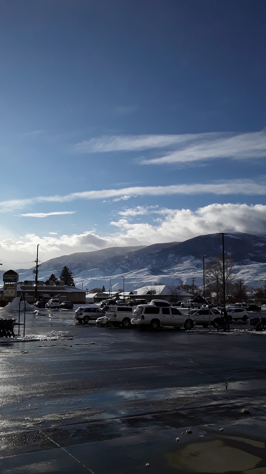
- Airport photos
- Webcam links
Location:
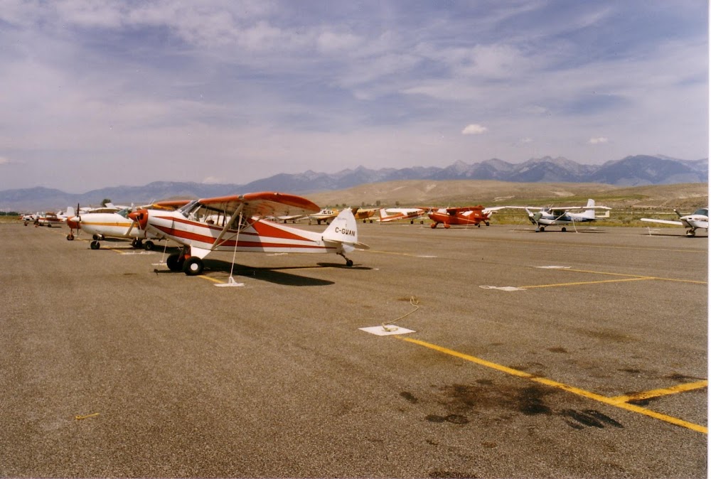
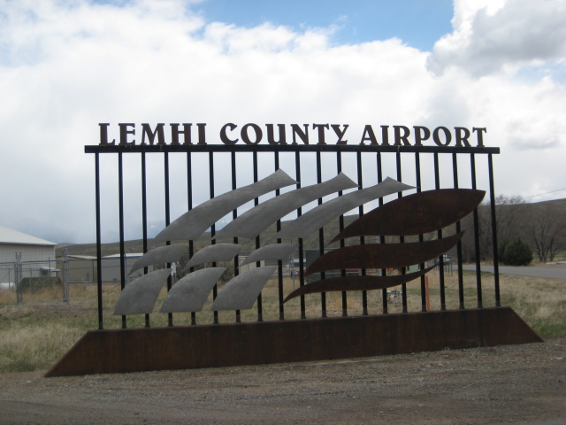
Salmon, ID
Elevation:
4,044ft
Sectional:
Great Falls
Activation date:
Apr 1940
Fuel:
100, A (prices)
Runway 17/35:
5,510ft
Access: Open to the public
Current Weather — VFR
-
Weather data is strictly informational and not for flight planning purposes.
-
METAR2026-07-20 06:56:00 MDT
Ceiling: Sky clear Wind: 290° @ 5kt Temperature: 60°F Dewpoint: 55°F Weather: N/A Visbility: 10SM Raw:METAR KSMN 201256Z AUTO 29005KT 10SM CLR 16/13 A3013 RMK AO2 SLP160 T01560128 -
TAF2026-07-20 06:00:00 MDT – 2026-07-20 13:00:00 MDT
Ceiling: Sky clear Wind: 230° @ 5kt Weather: N/A Visbility: 6SM Clouds: Few @ 15,000ft Raw:TAF KSMN 201120Z 2012/2112 23005KT P6SM FEW150 FM201900 35005KT P6SM BKN250 FM210300 04005KT P6SM BKN250 -
TAF2026-07-20 13:00:00 MDT – 2026-07-20 21:00:00 MDT
Ceiling: 25,000ft Wind: 350° @ 5kt Weather: N/A Visbility: 6SM Clouds: Broken @ 25,000ft Raw:TAF KSMN 201120Z 2012/2112 23005KT P6SM FEW150 FM201900 35005KT P6SM BKN250 FM210300 04005KT P6SM BKN250 -
TAF2026-07-20 21:00:00 MDT – 2026-07-21 06:00:00 MDT
Ceiling: 25,000ft Wind: 040° @ 5kt Weather: N/A Visbility: 6SM Clouds: Broken @ 25,000ft Raw:TAF KSMN 201120Z 2012/2112 23005KT P6SM FEW150 FM201900 35005KT P6SM BKN250 FM210300 04005KT P6SM BKN250
Click/tap to add an annotation marker to the map
No webcams added yet.
Remarks
- Constd prior to 1959.
- Retroreflective reflectors on parallel twy and ramp area.
- Taxiway access to aircraft ramp located on se end of airport is clsd.
- Cold temperature airport. altitude correction required at or below -12c.
- Actvt mirl ry 17/35; reil ry 17 & ry 35 and papi ry 17 - ctaf.
- Use rgt tfc pattern for night opns only.
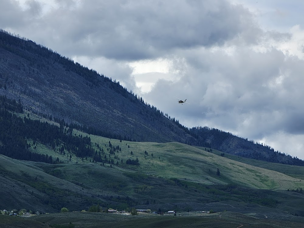
- +1000' mountain at 3 miles.
Comments