Pirep is a free, collaborative database of all public and private airports. All pilots are welcome to contribute their local knowledge to any airport, no registration required.
Last updated: 2023-06-01 19:13:50 PDT
Last updated: 2024-03-13 23:31:53 PDT
Airport Statistics
- Fuel pump location
- WiFi availability
- Landing & tie-down fees
Location:
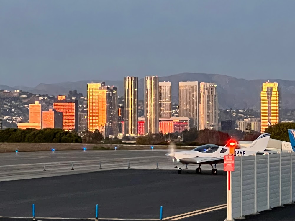
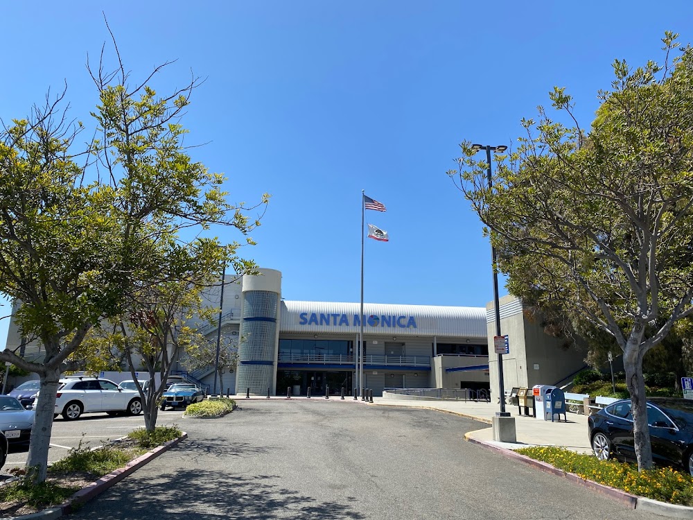
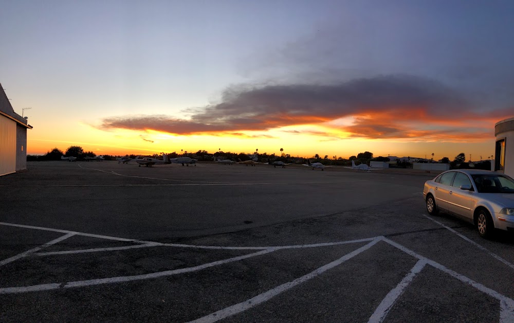
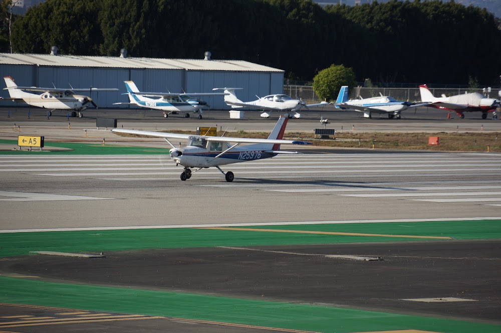
Santa Monica, CA
Elevation:
169ft
Sectional:
Los Angeles
Activation date:
Apr 1940
Fuel:
100LL, A, UL94 (prices)
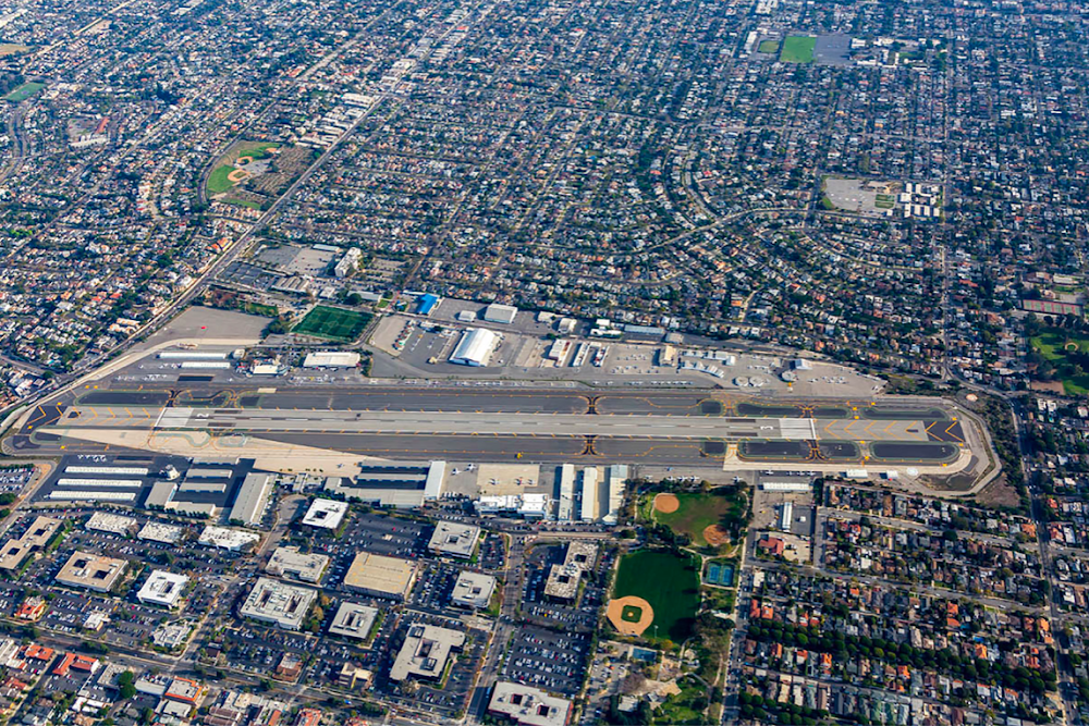
Runway 03/21:
3,500ft
Runway H1:
40ft
Access: Open to the public
Similar Airports
Current Weather — VFR
-
Weather data is strictly informational and not for flight planning purposes.
-
METAR2026-07-28 18:51:00 PDT
Ceiling: Sky clear Wind: 240° @ 7kt Temperature: 73°F Dewpoint: 64°F Weather: N/A Visbility: 10SM Raw:METAR KSMO 290151Z 24007KT 10SM CLR 23/18 A2980 RMK AO2 SLP089 T02280183 -
TAF2026-07-28 17:00:00 PDT – 2026-07-28 20:00:00 PDT
Ceiling: Sky clear Wind: 240° @ 8kt, gusts 15kt Weather: N/A Visbility: 6SM Clouds: @ ft Raw:TAF KSMO 282349Z 2900/2924 24008G15KT P6SM SKC FM290300 VRB03KT P6SM SKC FM291100 VRB03KT 6SM BR BKN008 FM291600 13004KT P6SM FEW010 FM291900 23008KT P6SM SKC -
TAF2026-07-28 20:00:00 PDT – 2026-07-29 04:00:00 PDT
Ceiling: Sky clear Wind: Variable Weather: N/A Visbility: 6SM Clouds: @ ft Raw:TAF KSMO 282349Z 2900/2924 24008G15KT P6SM SKC FM290300 VRB03KT P6SM SKC FM291100 VRB03KT 6SM BR BKN008 FM291600 13004KT P6SM FEW010 FM291900 23008KT P6SM SKC -
TAF2026-07-29 04:00:00 PDT – 2026-07-29 09:00:00 PDT
Ceiling: 800ft Wind: Variable Weather: Mist Visbility: 6SM Clouds: Broken @ 800ft Raw:TAF KSMO 282349Z 2900/2924 24008G15KT P6SM SKC FM290300 VRB03KT P6SM SKC FM291100 VRB03KT 6SM BR BKN008 FM291600 13004KT P6SM FEW010 FM291900 23008KT P6SM SKC -
TAF2026-07-29 09:00:00 PDT – 2026-07-29 12:00:00 PDT
Ceiling: Sky clear Wind: 130° @ 4kt Weather: N/A Visbility: 6SM Clouds: Few @ 1,000ft Raw:TAF KSMO 282349Z 2900/2924 24008G15KT P6SM SKC FM290300 VRB03KT P6SM SKC FM291100 VRB03KT 6SM BR BKN008 FM291600 13004KT P6SM FEW010 FM291900 23008KT P6SM SKC -
TAF2026-07-29 12:00:00 PDT – 2026-07-29 17:00:00 PDT
Ceiling: Sky clear Wind: 230° @ 8kt Weather: N/A Visbility: 6SM Clouds: @ ft Raw:TAF KSMO 282349Z 2900/2924 24008G15KT P6SM SKC FM290300 VRB03KT P6SM SKC FM291100 VRB03KT 6SM BR BKN008 FM291600 13004KT P6SM FEW010 FM291900 23008KT P6SM SKC
Click/tap to add an annotation marker to the map
No webcams added yet.
Remarks
- Hel flt trng opn prohibited; hel opns apch arpt bdry at midfield at or above 900 ft msl.
- Intxn deps and frmn lndgs/deps prohibited.
- Rwy 03/21 dep end approx 1000 ft fm residential homes. extended high power settings on run-up or dep negatively impact the community.
- Ppr rqrd for dw acft in excess of 60000 lbs crtfyd max ldg wt, ctc amgr 310-458-8692.
- No touch/go, stop/go, or low apch permitted on sat, sun, hols; weekdays ss-0700.
Comments