Pirep is a free, collaborative database of all public and private airports. All pilots are welcome to contribute their local knowledge to any airport, no registration required.
Public
Undocumented
METAR / TAF
Webcam
Edit Tags
No upcoming events. Is anything happening here soon?
Airport Statistics
- Local flying clubs
- Transient parking location
- Tags
Location:
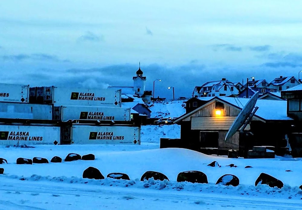
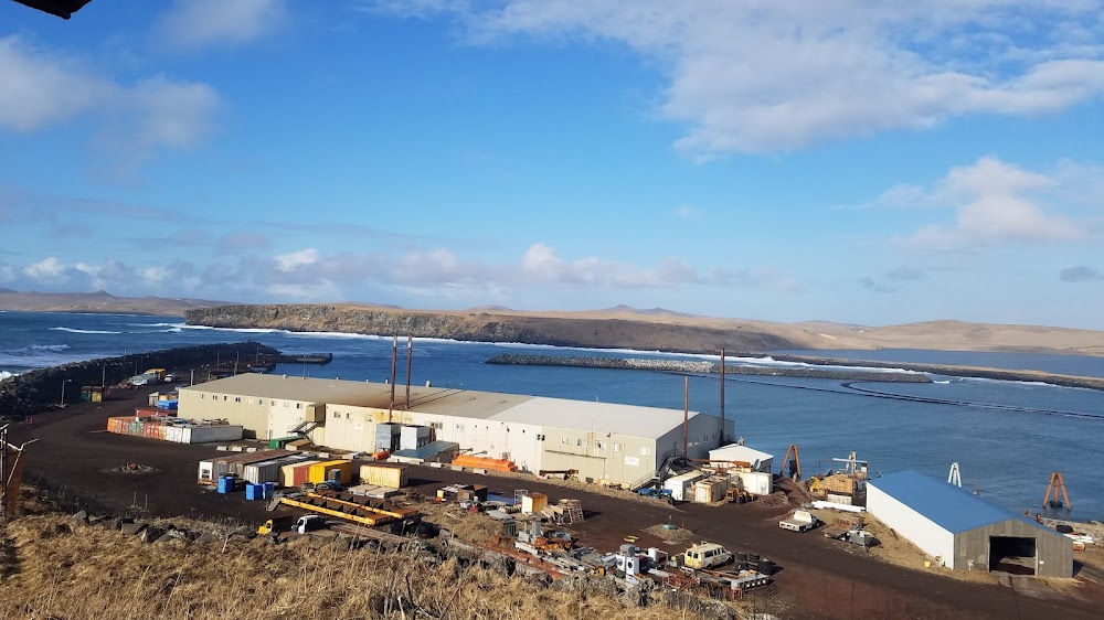
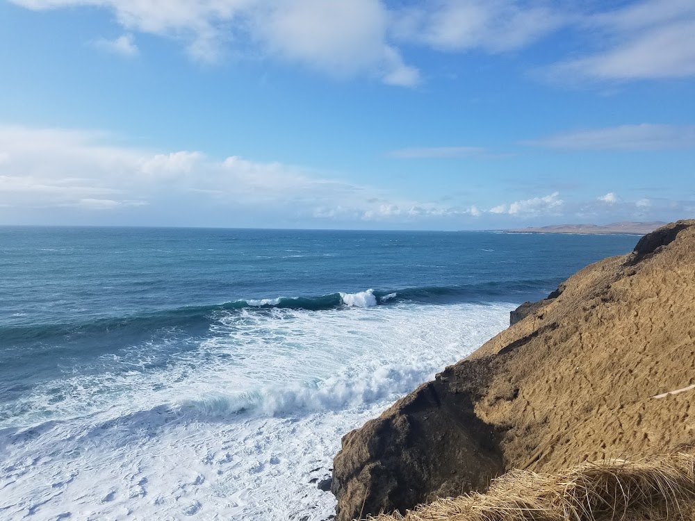
St Paul Island, AK
Elevation:
66ft
Sectional:
Dutch Harbor
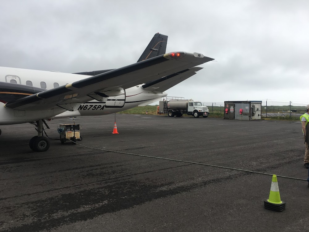
Fuel:
A (prices)
Runway 18/36:
6,500ft
Access: Open to the public
Current Weather — VFR
-
Weather data is strictly informational and not for flight planning purposes.
-
METAR2026-07-16 08:53:00 HDT
Ceiling: 5,000ft Wind: 310° @ 11kt Temperature: 46°F Dewpoint: 44°F Weather: N/A Visbility: 10SM Clouds: Few @ 600ft, Overcast @ 5,000ft Raw:METAR PASN 161753Z AUTO 31011KT 10SM FEW006 OVC050 08/07 A3011 RMK AO2 SLP197 T00830072 10089 20072 51012 TSNO $ -
TAF2026-07-16 09:00:00 HDT – 2026-07-16 12:00:00 HDT
Ceiling: 4,000ft Wind: 310° @ 10kt Weather: N/A Visbility: 6SM Clouds: Few @ 1,000ft, Broken @ 4,000ft, Overcast @ 4,500ft Raw:TAF PASN 161735Z 1618/1718 31010KT P6SM FEW010 BKN040 OVC045 FM162100 26012KT 4SM -RA BR OVC006 FM170500 20015KT 2SM -RA BR OVC004 FM171200 17018G28KT 4SM -RA BR OVC005 -
TAF2026-07-16 12:00:00 HDT – 2026-07-16 20:00:00 HDT
Ceiling: 600ft Wind: 260° @ 12kt Weather: Light rain, mist Visbility: 4SM Clouds: Overcast @ 600ft Raw:TAF PASN 161735Z 1618/1718 31010KT P6SM FEW010 BKN040 OVC045 FM162100 26012KT 4SM -RA BR OVC006 FM170500 20015KT 2SM -RA BR OVC004 FM171200 17018G28KT 4SM -RA BR OVC005 -
TAF2026-07-16 20:00:00 HDT – 2026-07-17 03:00:00 HDT
Ceiling: 400ft Wind: 200° @ 15kt Weather: Light rain, mist Visbility: 2SM Clouds: Overcast @ 400ft Raw:TAF PASN 161735Z 1618/1718 31010KT P6SM FEW010 BKN040 OVC045 FM162100 26012KT 4SM -RA BR OVC006 FM170500 20015KT 2SM -RA BR OVC004 FM171200 17018G28KT 4SM -RA BR OVC005 -
TAF2026-07-17 03:00:00 HDT – 2026-07-17 09:00:00 HDT
Ceiling: 500ft Wind: 170° @ 18kt, gusts 28kt Weather: Light rain, mist Visbility: 4SM Clouds: Overcast @ 500ft Raw:TAF PASN 161735Z 1618/1718 31010KT P6SM FEW010 BKN040 OVC045 FM162100 26012KT 4SM -RA BR OVC006 FM170500 20015KT 2SM -RA BR OVC004 FM171200 17018G28KT 4SM -RA BR OVC005
Click/tap to add an annotation marker to the map
Remarks
- 625 ft lgtd twr 1 mi sw.
- 45 ft twr 350 ft west & 1000 ft north thld rwy 36 lgtd.
- Wx camera avbl on internet at https://weathercams.faa.gov
- 3 wind turbines approx 100 ft tall 1/4 mile southwest of rwy 36 approach end.
- Avoid flt blw 1000 ft may 14 - sep 14 in areas with active bird populations & otr times in areas with coastal seal rookeries.
- Wx bln launch fac on arpt, see inside back cover for oprn details.
- Actvt malsf rwy 18 & 36; papi rwy 18 & 36; hirl rwy 18/36- ctaf.
- Or 907-546-5000.
Comments