Pirep is a free, collaborative database of all public and private airports. All pilots are welcome to contribute their local knowledge to any airport, no registration required.


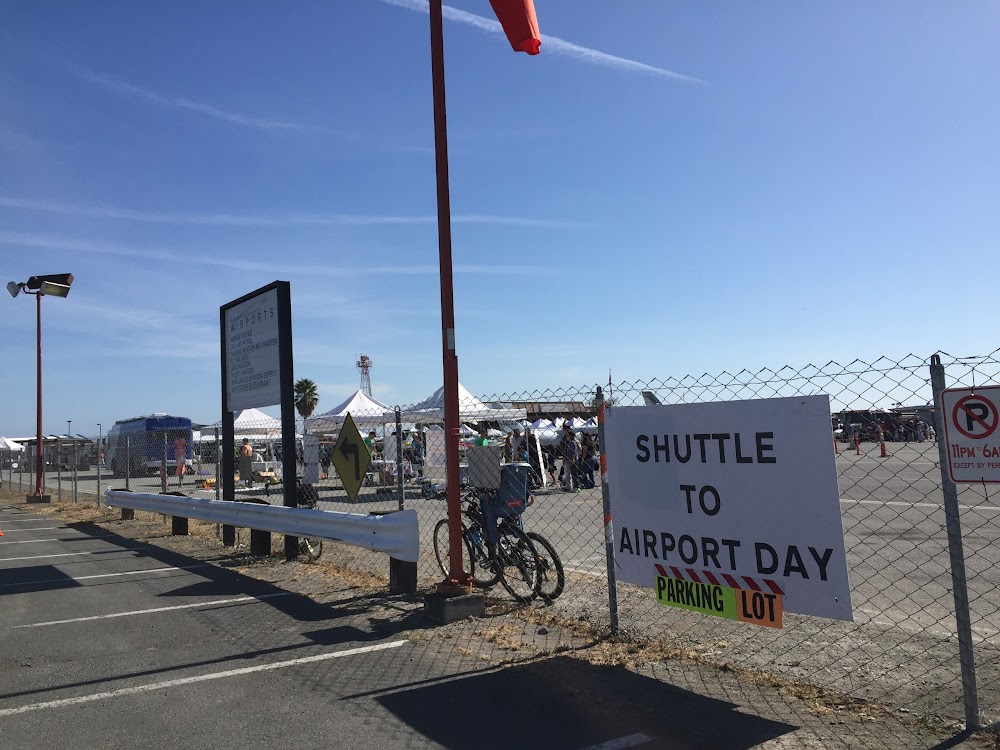

Upcoming Events
-
Sat, Nov 14 2026 6:30pm – Tue, Nov 17 2026 9:30pm
- Event webpage: https://www.aeroclubnocal.org
Last updated: 2023-04-25 16:17:36 PDT
Last updated: 2024-03-14 23:49:45 PDT
Airport Statistics
- Fuel pump location
- Crew car availability
- Landing & tie-down fees
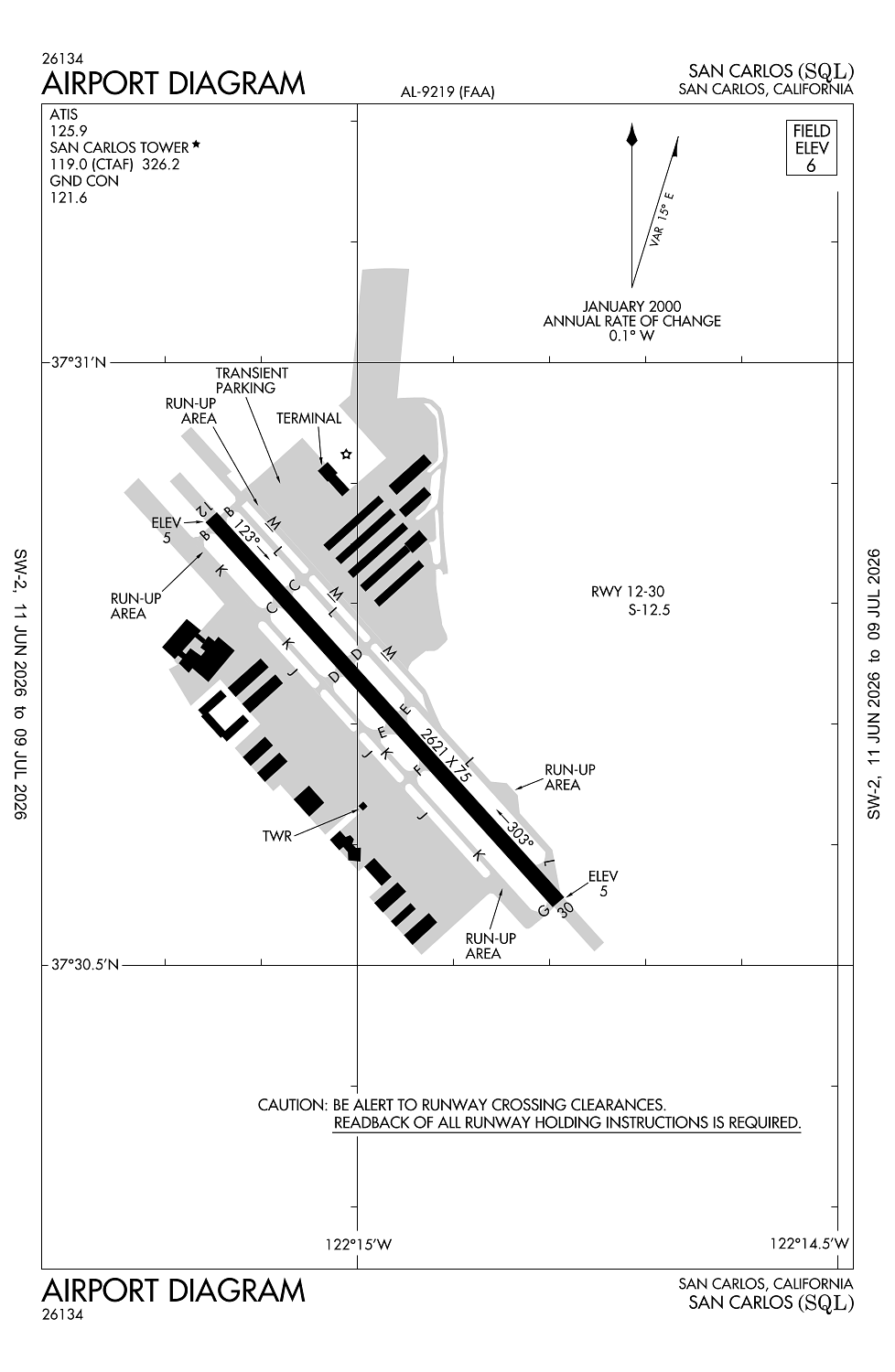
Location:
San Carlos, CA
Elevation:
5ft
Sectional:
San Francisco
Activation date:
Jul 1952
Fuel:
100LL, A, A+, UL94 (prices)
Runway 12/30:
2,621ft
Access: Open to the public
Similar Airports
Current Weather — VFR
-
Weather data is strictly informational and not for flight planning purposes.
-
METAR2026-07-24 08:55:00 PDT
Ceiling: Sky clear Wind: 270° @ 7kt Temperature: 66°F Dewpoint: 55°F Weather: N/A Visbility: 10SM Raw:METAR KSQL 241555Z 27007KT 10SM CLR 19/13 A3002
Click/tap to add an annotation marker to the map
No webcams added yet.
Remarks
- No tgl or stop and go ldgs when atct clsd.
- Calm wind rwy 12.
- Noise sensitive areas s thru ne of arpt. for noise abatement procedures ctc amgr (650) 573-3700.
- Migratory bird act on & invof of arpt.
- 100 ft steel transmission twrs and powerlines lctd 750 ft west and parallel to rwy 12/30.
Comments