Pirep is a free, collaborative database of all public and private airports. All pilots are welcome to contribute their local knowledge to any airport, no registration required.
Public
Undocumented
METAR / TAF
Edit Tags
No upcoming events. Is anything happening here soon?
Airport Statistics
- Fuel pump location
- Airport map annotations
- Crew car availability
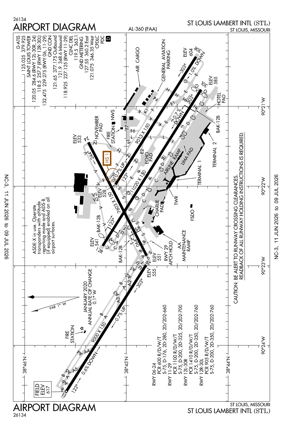
Location:
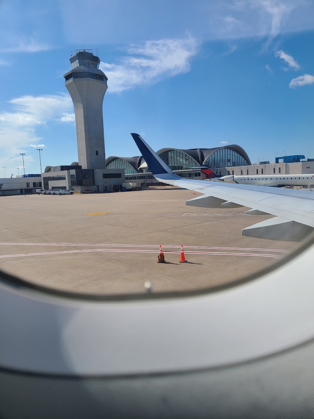
St Louis, MO
Elevation:
617ft
Sectional:
St Louis
Activation date:
Apr 1940
Fuel:
100LL, A (prices)
Runway 12R/30L:
11,020ft
Runway 12L/30R:
9,013ft
Runway 11/29:
9,000ft
Runway 06/24:
7,603ft
Access: Open to the public
Current Weather — VFR
-
Weather data is strictly informational and not for flight planning purposes.
-
METAR2026-07-16 01:51:00 CDT
Ceiling: Sky clear Wind: Calm Temperature: 78°F Dewpoint: 69°F Weather: N/A Visbility: 10SM Clouds: Scattered @ 9,000ft Raw:METAR KSTL 160651Z 00000KT 10SM SCT090 26/21 A3005 RMK AO2 SLP161 T02610211 -
TAF2026-07-16 01:00:00 CDT – 2026-07-17 07:00:00 CDT
Ceiling: Sky clear Wind: Variable Weather: N/A Visbility: 6SM Clouds: Few @ 25,000ft Raw:TAF KSTL 160520Z 1606/1712 VRB05KT P6SM FEW250
Click/tap to add an annotation marker to the map
No webcams added yet.
Remarks
- Waiver to conduct simul apchs to parl rys separated by 1,300 ft in efct.
- Wg tip clnc with gnd veh not adqt alg n side of main trml apn.
- Asde-x in use. oper transponders with alt reporting mode and ads-b (if equipped) enabled on all arpt surfaces.
- A-gear: a-g are kept in recessed posn til req for use. twr must be notified at least 5 sec prior to engagement so that cable may be raised.
- Twy delta or taxilane charlie fm twy sierra to twy golf, b-747s are not auth to pass or be passed by b767 or otr lrgr acft oprg on the parl twy/taxilane.
Comments