Pirep is a free, collaborative database of all public and private airports. All pilots are welcome to contribute their local knowledge to any airport, no registration required.

Public
Undocumented
METAR / TAF
Edit Tags
No upcoming events. Is anything happening here soon?
Airport Statistics
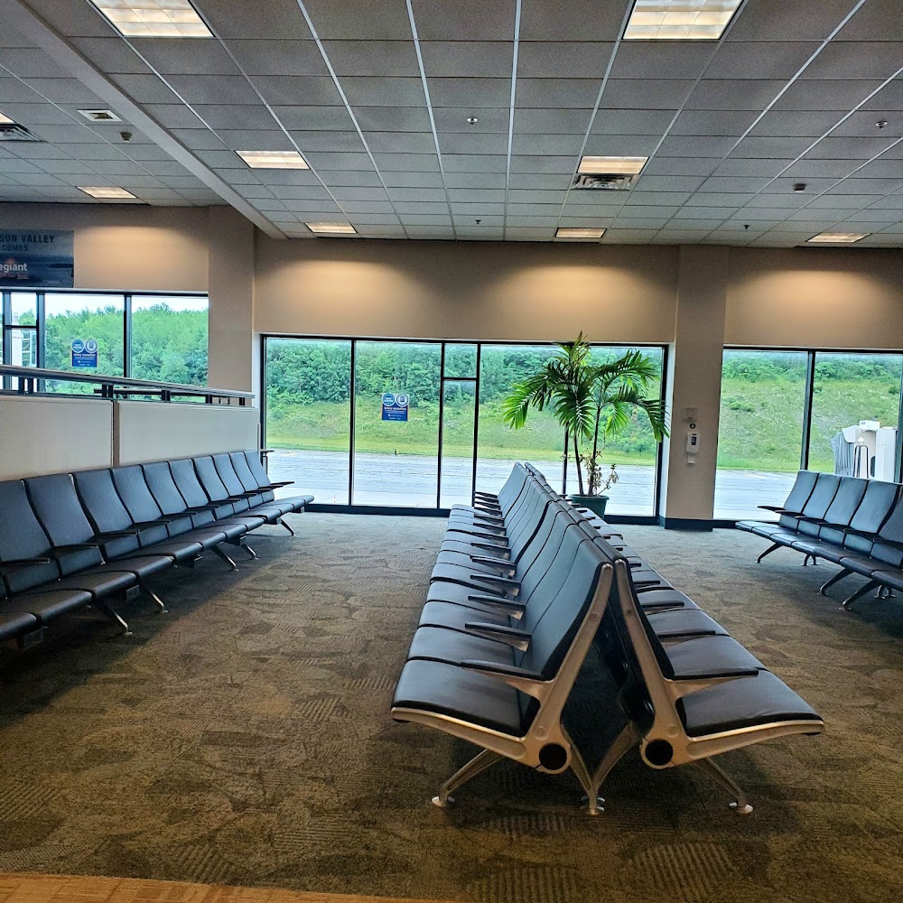
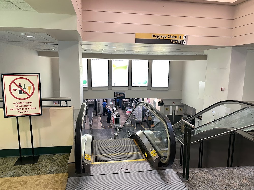
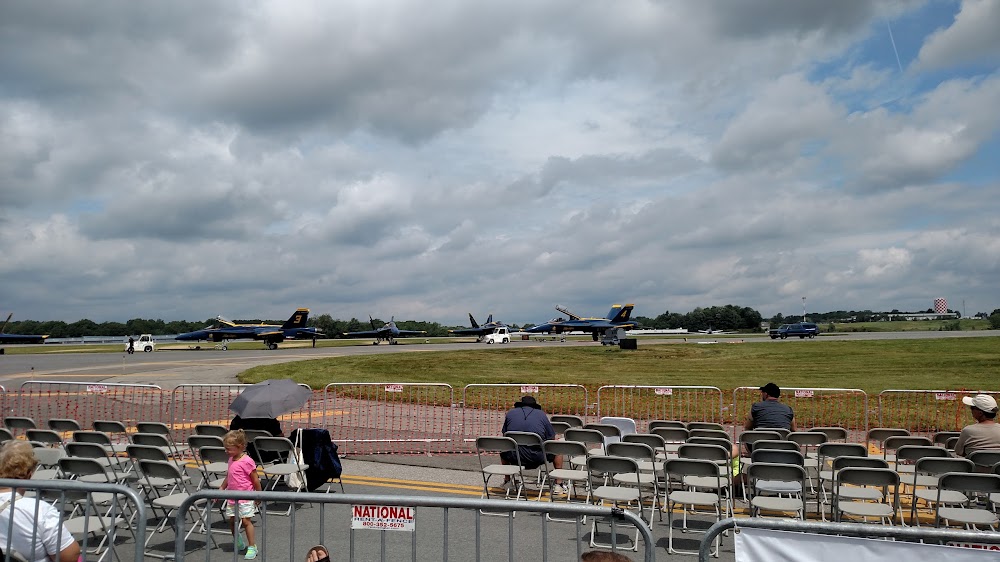
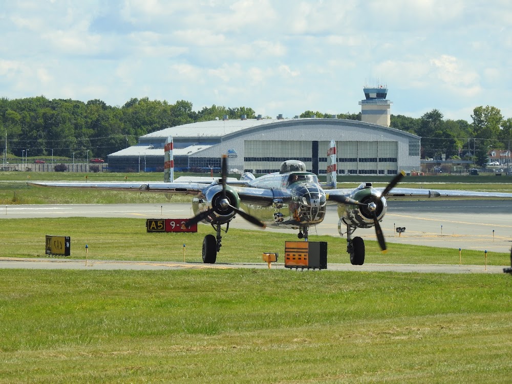
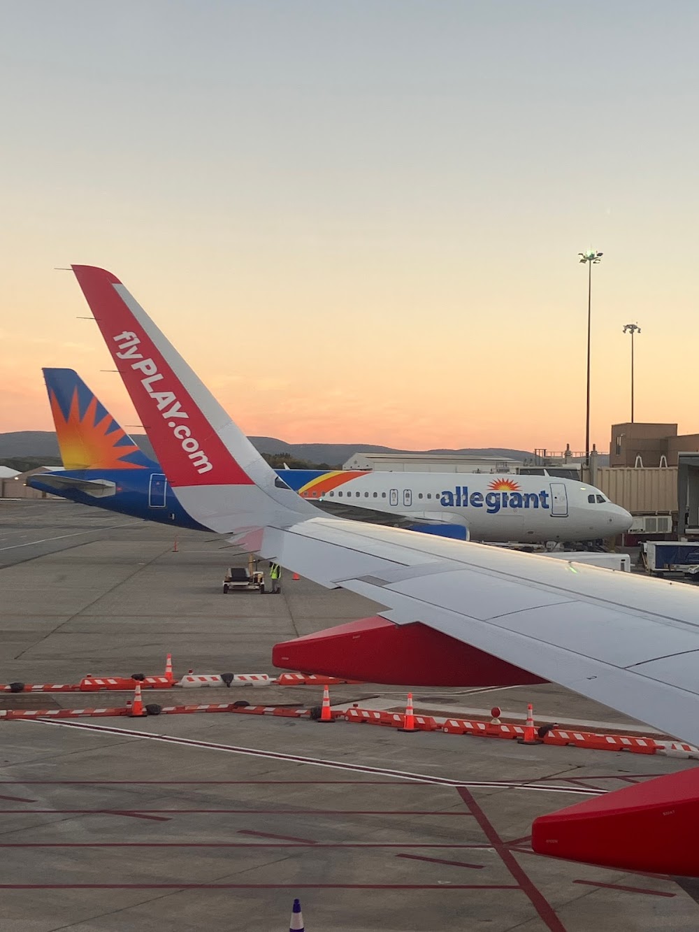
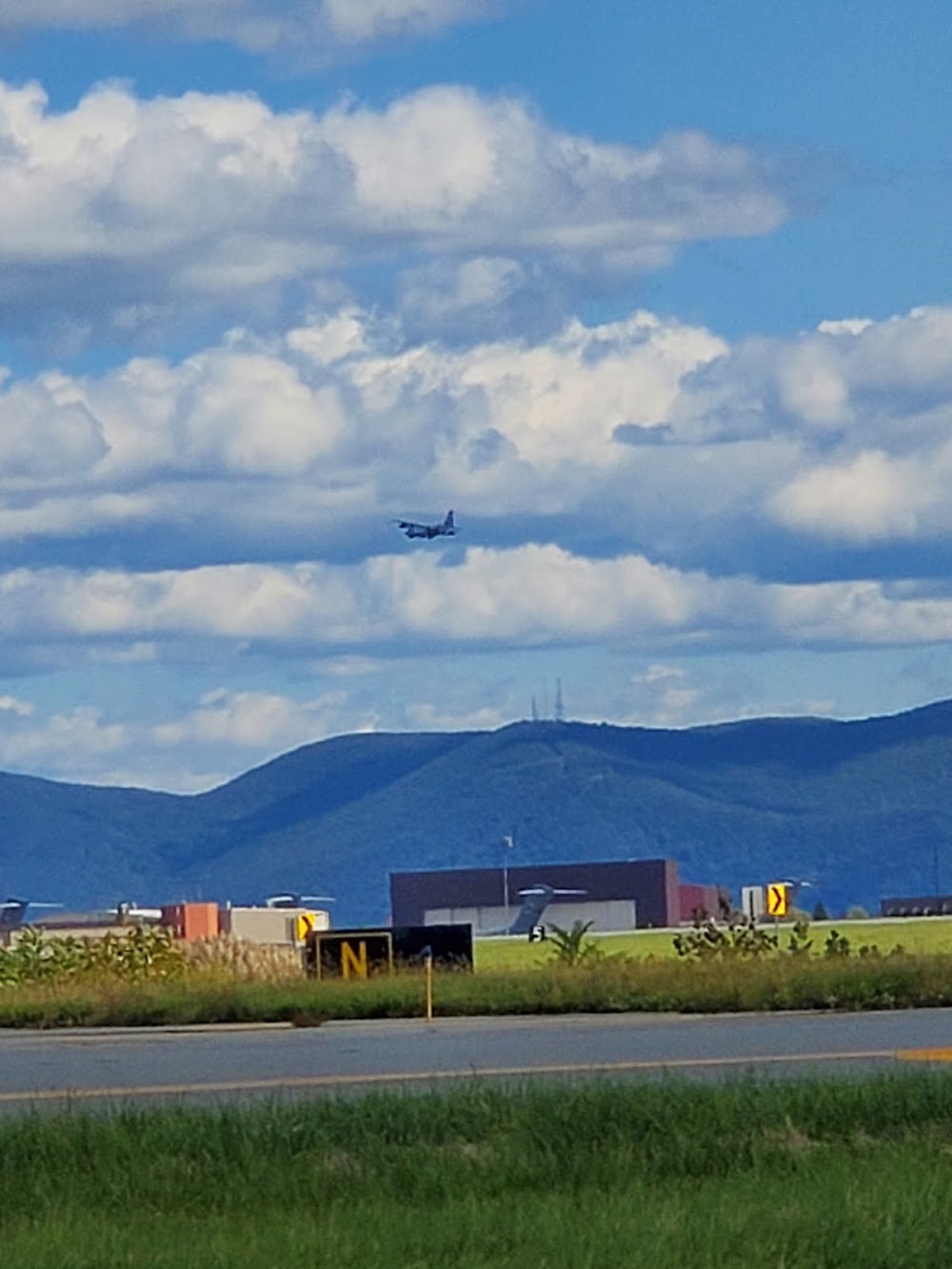
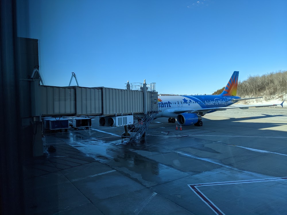
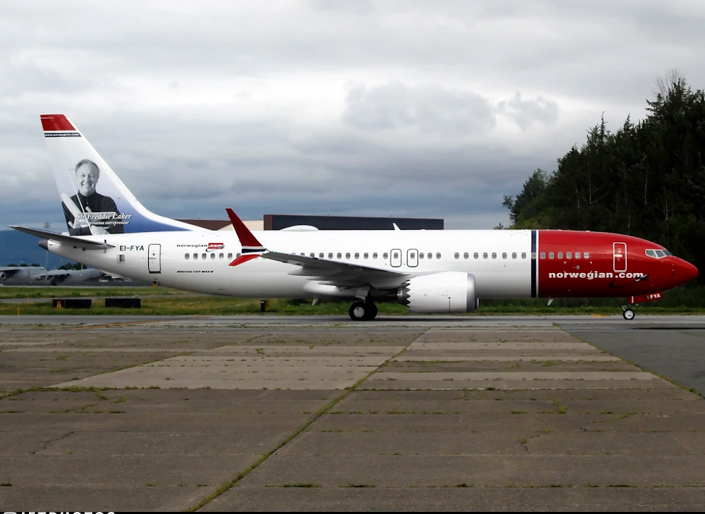
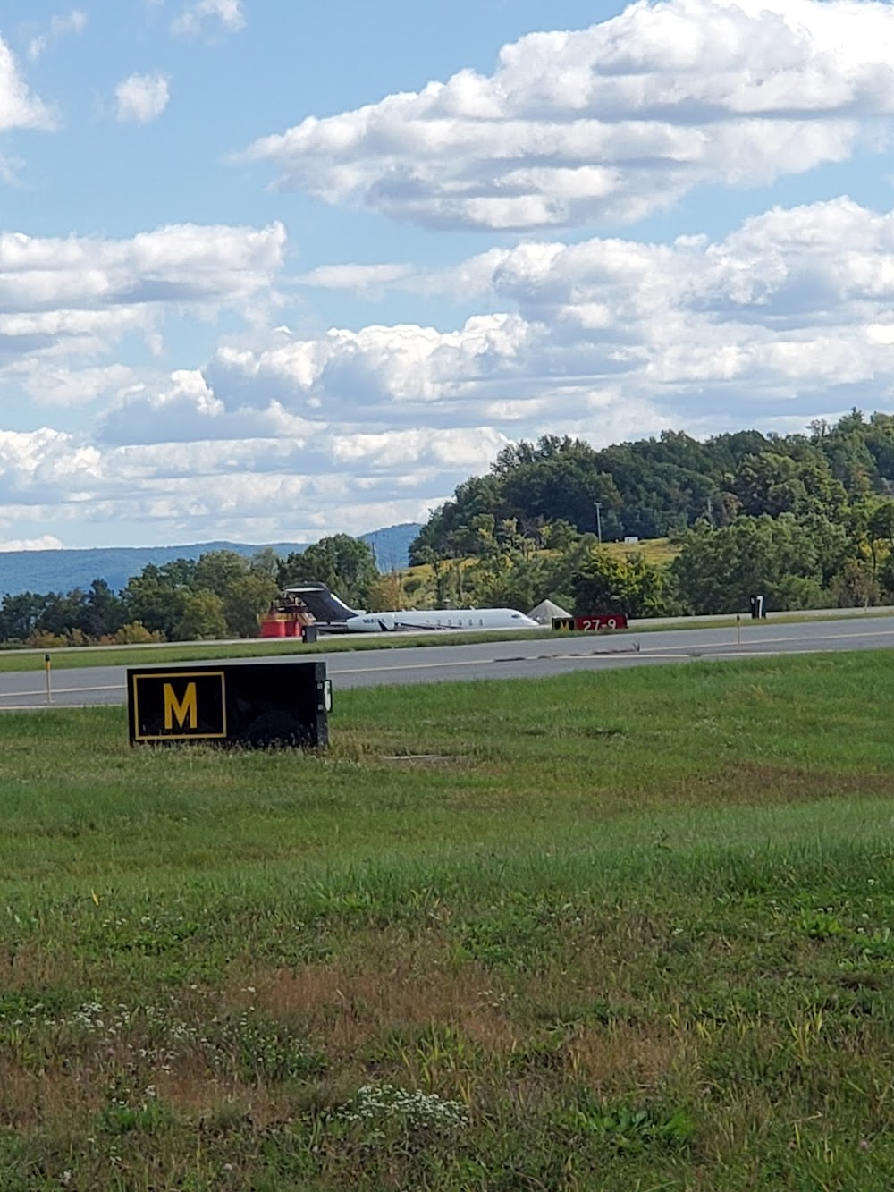
- Airport photos
- WiFi availability
- Crew car availability
Location:
New York, NY
Elevation:
490ft
Sectional:
New York
Activation date:
May 1941
Fuel:
100LL, A (prices)
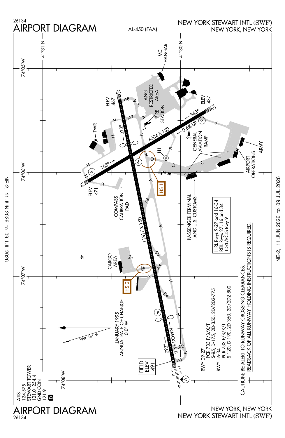
Runway 09/27:
11,817ft
Runway 16/34:
6,004ft
Runway H1:
40ft
Access: Open to the public
Current Weather — MVFR
-
Weather data is strictly informational and not for flight planning purposes.
-
METAR2026-07-15 17:45:00 EDT
Ceiling: 8,000ft Wind: 340° @ 8kt, gusts 14kt Temperature: 80°F Dewpoint: 62°F Weather: Haze Visbility: 3SM Clouds: Overcast @ 8,000ft Raw:METAR KSWF 152145Z 34008G14KT 3SM HZ OVC080 27/17 A2986 -
TAF2026-07-15 16:00:00 EDT – 2026-07-15 18:00:00 EDT
Ceiling: Sky clear Wind: 000° @ kt Weather: Smoke Visbility: 3SM Raw:TAF KSWF 151931Z 1520/1624 31015G24KT 5SM FU BKN250 TEMPO 1520/1522 3SM FU FM152200 32012G21KT 6SM FU BKN250 TEMPO 1522/1602 5SM FU FM160200 32006KT 6SM FU BKN250 FM160600 VRB04KT 6SM FU BKN250 FM161500 28010G20KT 5SM FU BKN250 AMD NOT SKED -
TAF2026-07-15 16:00:00 EDT – 2026-07-15 18:00:00 EDT
Ceiling: 25,000ft Wind: 310° @ 15kt, gusts 24kt Weather: Smoke Visbility: 5SM Clouds: Broken @ 25,000ft Raw:TAF KSWF 151931Z 1520/1624 31015G24KT 5SM FU BKN250 TEMPO 1520/1522 3SM FU FM152200 32012G21KT 6SM FU BKN250 TEMPO 1522/1602 5SM FU FM160200 32006KT 6SM FU BKN250 FM160600 VRB04KT 6SM FU BKN250 FM161500 28010G20KT 5SM FU BKN250 AMD NOT SKED -
TAF2026-07-15 18:00:00 EDT – 2026-07-15 22:00:00 EDT
Ceiling: 25,000ft Wind: 320° @ 12kt, gusts 21kt Weather: Smoke Visbility: 6SM Clouds: Broken @ 25,000ft Raw:TAF KSWF 151931Z 1520/1624 31015G24KT 5SM FU BKN250 TEMPO 1520/1522 3SM FU FM152200 32012G21KT 6SM FU BKN250 TEMPO 1522/1602 5SM FU FM160200 32006KT 6SM FU BKN250 FM160600 VRB04KT 6SM FU BKN250 FM161500 28010G20KT 5SM FU BKN250 AMD NOT SKED -
TAF2026-07-15 18:00:00 EDT – 2026-07-15 22:00:00 EDT
Ceiling: Sky clear Wind: 000° @ kt Weather: Smoke Visbility: 5SM Raw:TAF KSWF 151931Z 1520/1624 31015G24KT 5SM FU BKN250 TEMPO 1520/1522 3SM FU FM152200 32012G21KT 6SM FU BKN250 TEMPO 1522/1602 5SM FU FM160200 32006KT 6SM FU BKN250 FM160600 VRB04KT 6SM FU BKN250 FM161500 28010G20KT 5SM FU BKN250 AMD NOT SKED -
TAF2026-07-15 22:00:00 EDT – 2026-07-16 02:00:00 EDT
Ceiling: 25,000ft Wind: 320° @ 6kt Weather: Smoke Visbility: 6SM Clouds: Broken @ 25,000ft Raw:TAF KSWF 151931Z 1520/1624 31015G24KT 5SM FU BKN250 TEMPO 1520/1522 3SM FU FM152200 32012G21KT 6SM FU BKN250 TEMPO 1522/1602 5SM FU FM160200 32006KT 6SM FU BKN250 FM160600 VRB04KT 6SM FU BKN250 FM161500 28010G20KT 5SM FU BKN250 AMD NOT SKED -
TAF2026-07-16 02:00:00 EDT – 2026-07-16 11:00:00 EDT
Ceiling: 25,000ft Wind: Variable Weather: Smoke Visbility: 6SM Clouds: Broken @ 25,000ft Raw:TAF KSWF 151931Z 1520/1624 31015G24KT 5SM FU BKN250 TEMPO 1520/1522 3SM FU FM152200 32012G21KT 6SM FU BKN250 TEMPO 1522/1602 5SM FU FM160200 32006KT 6SM FU BKN250 FM160600 VRB04KT 6SM FU BKN250 FM161500 28010G20KT 5SM FU BKN250 AMD NOT SKED -
TAF2026-07-16 11:00:00 EDT – 2026-07-16 20:00:00 EDT
Ceiling: 25,000ft Wind: 280° @ 10kt, gusts 20kt Weather: Smoke Visbility: 5SM Clouds: Broken @ 25,000ft Raw:TAF KSWF 151931Z 1520/1624 31015G24KT 5SM FU BKN250 TEMPO 1520/1522 3SM FU FM152200 32012G21KT 6SM FU BKN250 TEMPO 1522/1602 5SM FU FM160200 32006KT 6SM FU BKN250 FM160600 VRB04KT 6SM FU BKN250 FM161500 28010G20KT 5SM FU BKN250 AMD NOT SKED
Click/tap to add an annotation marker to the map
No webcams added yet.
Remarks
- Avoid orange county arpt lctd 7 nm wnw durg vfr apchs.
- Birds & deer on & invof arpt.
- No jet trng 2300 to 0700 dly.
- Hudson valley rgnl lctd 3.3 nm sw ign vortac; do not mistake for stewart intl.
- Extsv gldr act 8 mi e of huo vortac in a 5-mi radius.
Comments