Pirep is a free, collaborative database of all public and private airports. All pilots are welcome to contribute their local knowledge to any airport, no registration required.


Public
Undocumented
METAR / TAF
Edit Tags
No upcoming events. Is anything happening here soon?
Airport Statistics
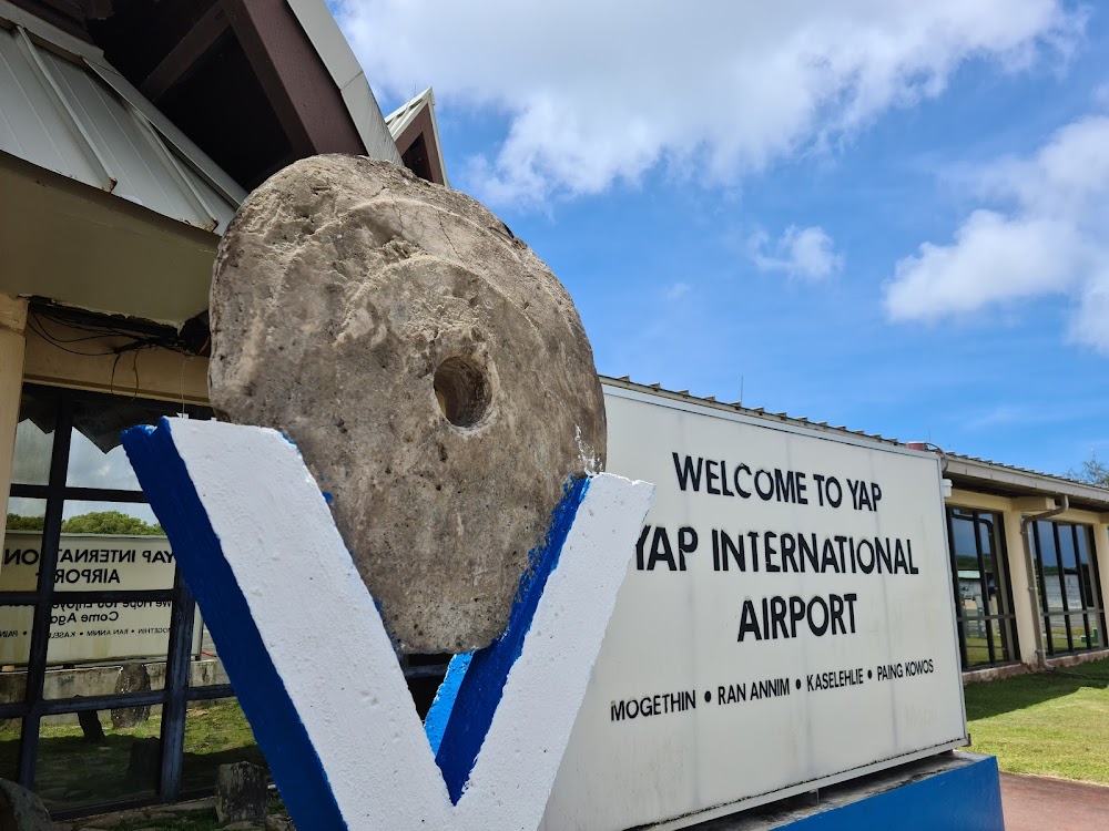
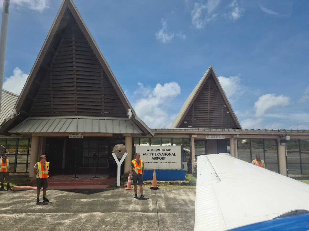
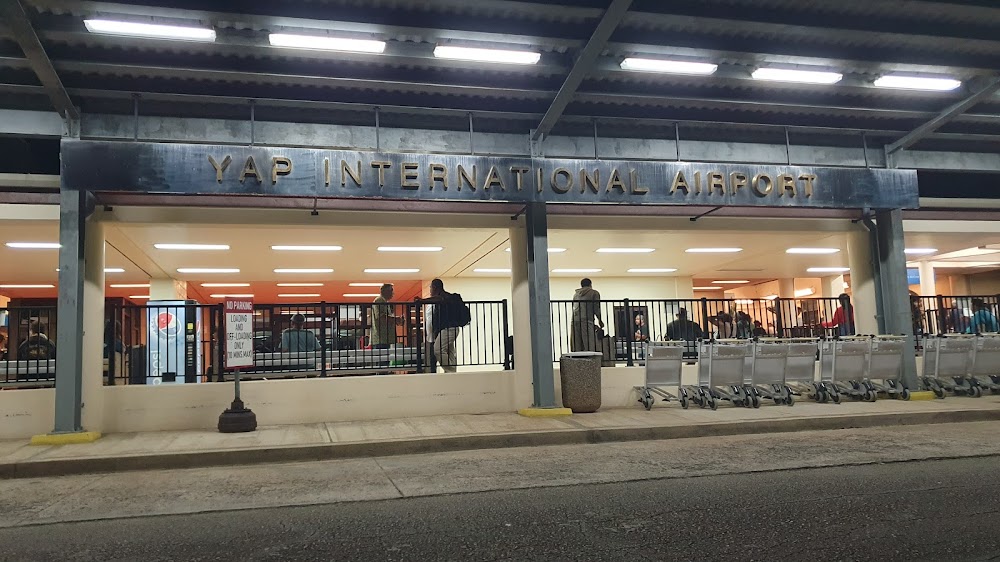
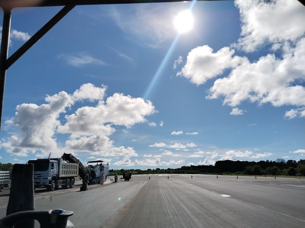
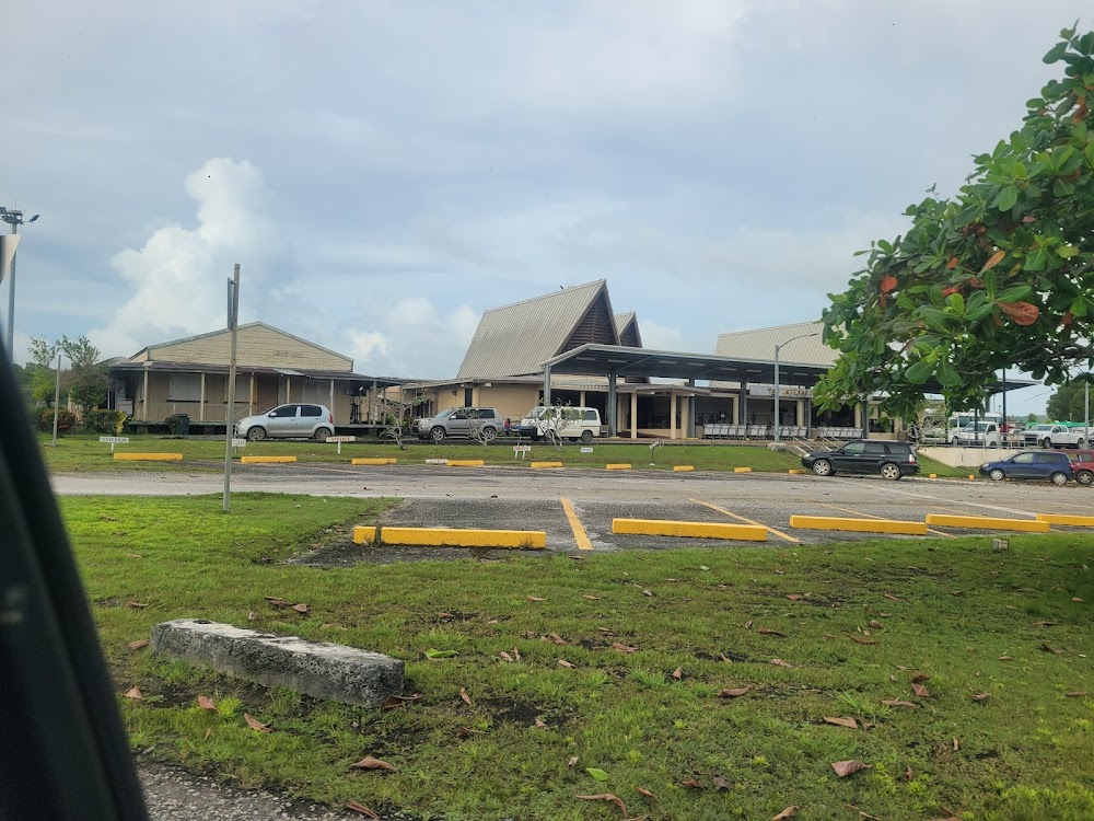
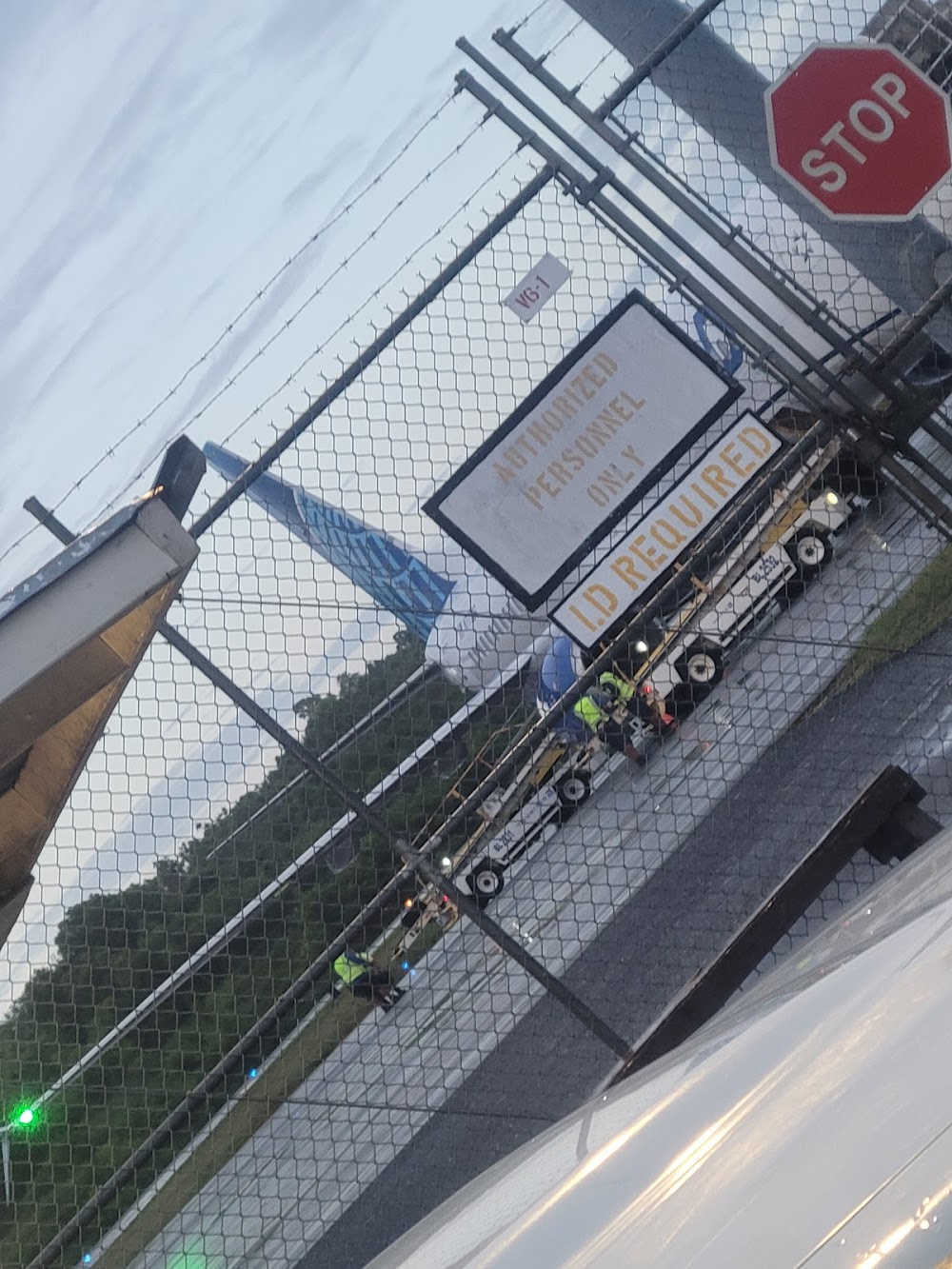
- Airport photos
- Transient parking location
- Airport map annotations
Location:
Yap Island, FM
Elevation:
90ft
Sectional:
Gnc 1three
Activation date:
Nov 1983
Fuel:
A1 (prices)
Runway 07/25:
6,000ft
Access: Open to the public
Current Weather — VFR
-
Weather data is strictly informational and not for flight planning purposes.
-
METAR2026-02-25 23:54:00 +10
Ceiling: 30,000ft Wind: Variable Temperature: 79°F Dewpoint: 77°F Weather: N/A Visbility: 12SM Clouds: Few @ 1,600ft, Scattered @ 13,000ft, Broken @ 30,000ft Raw:METAR PTYA 251354Z VRB05KT 12SM FEW016 SCT130 BKN300 27/25 A2976 RMK SHRAE02 SLP078 T02650251 -
TAF2026-02-25 22:00:00 +10 – 2026-02-26 22:00:00 +10
Ceiling: Sky clear Wind: 070° @ 11kt Weather: Showers in vicinity Visbility: 6SM Clouds: Scattered @ 1,500ft, Scattered @ 12,000ft Raw:TAF PTYA 251120Z 2512/2612 07011KT P6SM VCSH SCT015 SCT120 TEMPO 2512/2516 07011G20KT 5SM -SHRA BKN015 BKN110 -
TAF2026-02-25 22:00:00 +10 – 2026-02-26 02:00:00 +10
Ceiling: 1,500ft Wind: 070° @ 11kt, gusts 20kt Weather: Light rain showers Visbility: 5SM Clouds: Broken @ 1,500ft, Broken @ 11,000ft Raw:TAF PTYA 251120Z 2512/2612 07011KT P6SM VCSH SCT015 SCT120 TEMPO 2512/2516 07011G20KT 5SM -SHRA BKN015 BKN110
Click/tap to add an annotation marker to the map
No webcams added yet.
Remarks
- Determination pending.
- Ots
- A018 ppr for landing to be filed 48 hr in advance with fsm secretary of transportation, communication & infrastructure.
- Ry 07/25 grooved full length.
- Be alert when taxiing cracks on right and left side of twy.
- Ppr for landing to be filed 48 hr in advance with mr. akillino susaia, secretary of transportation,federated states of micronesia, p.o. box ps-2, pohnpei, fsm 96941, phone 011(691)320-2865, fax 011-(691)320-2798.
- Please see fsm dotc&i: div. of civil aviation's website for procedures and forms used to request ppr into fsm; https://www.tci.gov.fm/civilaviation/forms.html
- Actvt reils 07 & 25; papi rwy 07 & 25; mirl rwy 07/25 - 123.6.
Comments