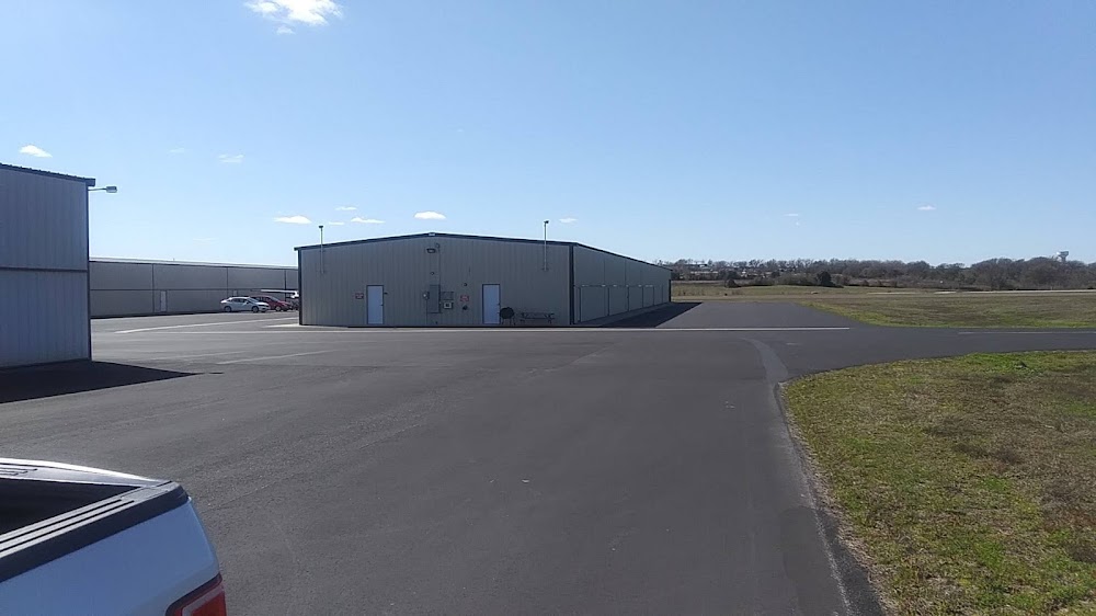
Pirep is a free, collaborative database of all public and private airports. All pilots are welcome to contribute their local knowledge to any airport, no registration required.
Public
Edit Tags
No upcoming events. Is anything happening here soon?
Last updated: 2023-11-05 01:03:35 CST
Airport Statistics
- Local flying clubs
- Transient parking location
- Webcam links
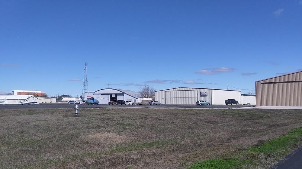
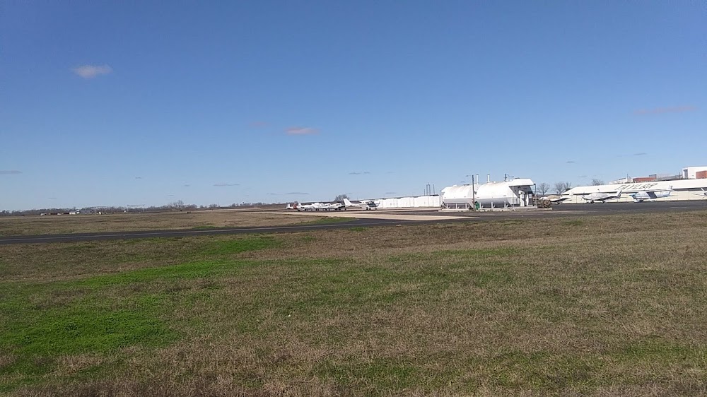
Location:
Taylor, TX
Elevation:
600ft
Sectional:
San Antonio
Activation date:
Feb 1946
Fuel:
100LL, A+ (prices)
Runway 17/35:
4,000ft
Access: Open to the public
Click/tap to add an annotation marker to the map
No webcams added yet.
Remarks
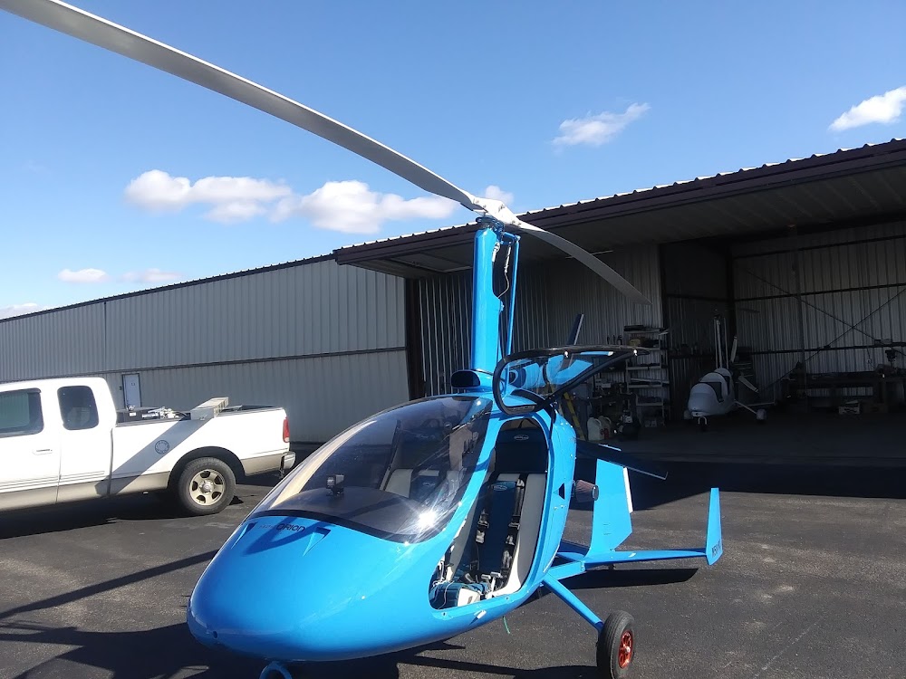
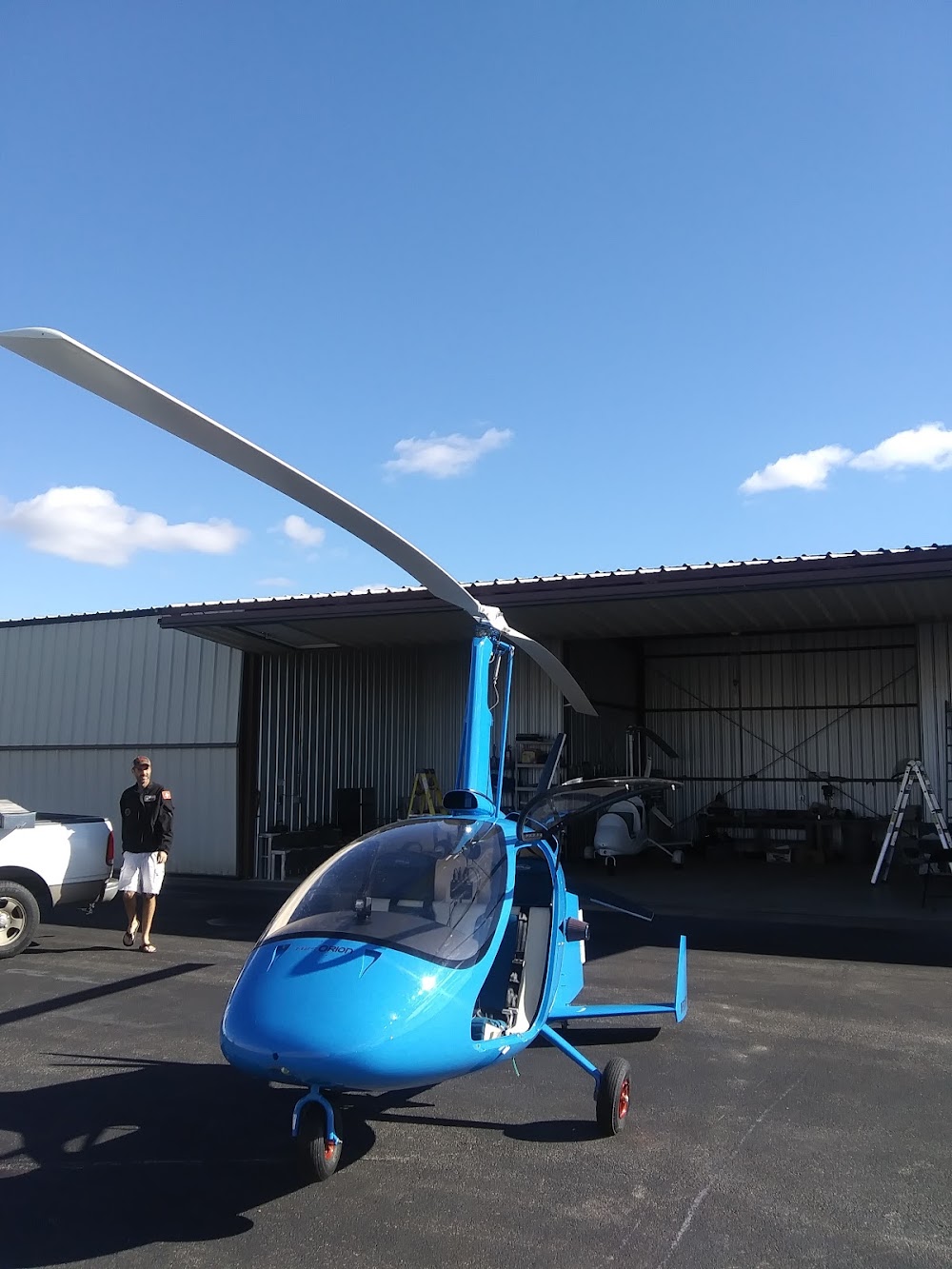
- Heli svcs also avbl.
- This airport has been surveyed by the national geodetic survey.
- Numerous agricultural opns invof arpt durg dalgt hrs.
- For cd ctc austin apch at 512-369-7865.
- Farm equipment
- Apch ratio 25:1 to dsplcd thr ovr 80 ft trees 2000 ft dstc.
- 200 ft. agl twr, 1000 ft east of rwy centerline, apx mid point of rwy.
- Intsv hel actvty on and invof arpt.
Comments