Pirep is a free, collaborative database of all public and private airports. All pilots are welcome to contribute their local knowledge to any airport, no registration required.

Undocumented
METAR / TAF
Edit Tags
No upcoming events. Is anything happening here soon?
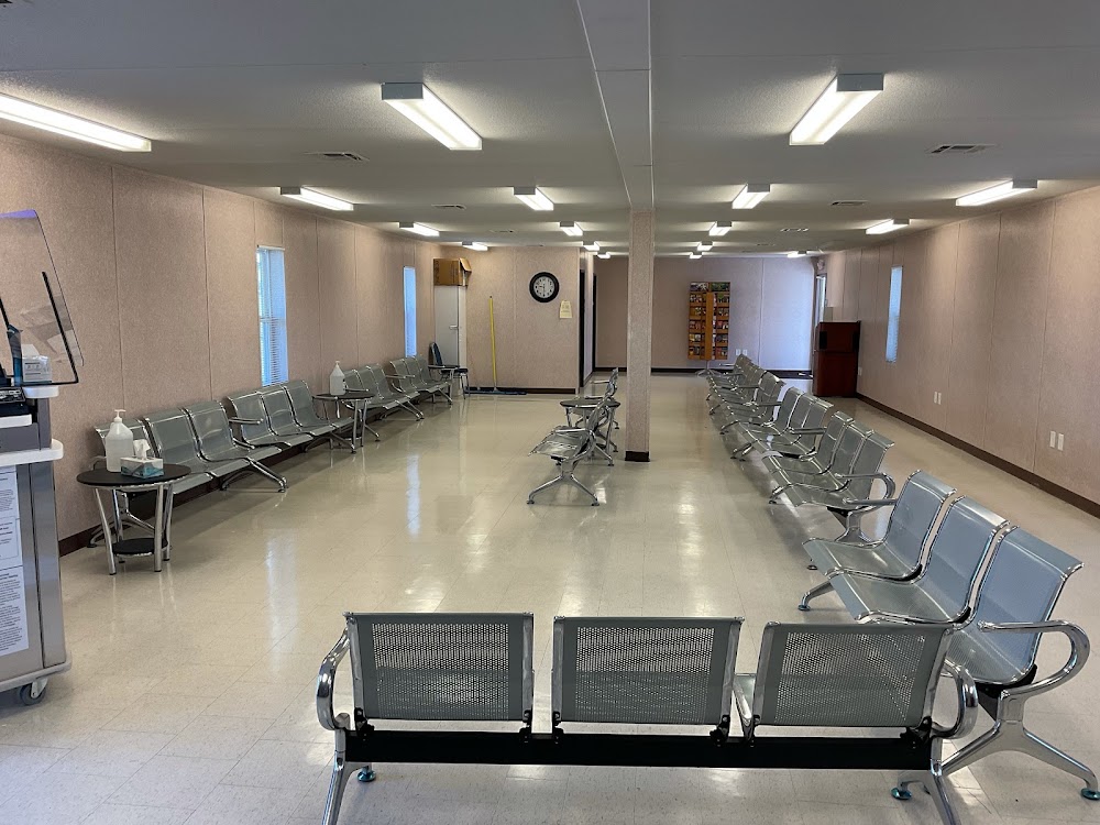
Airport Statistics
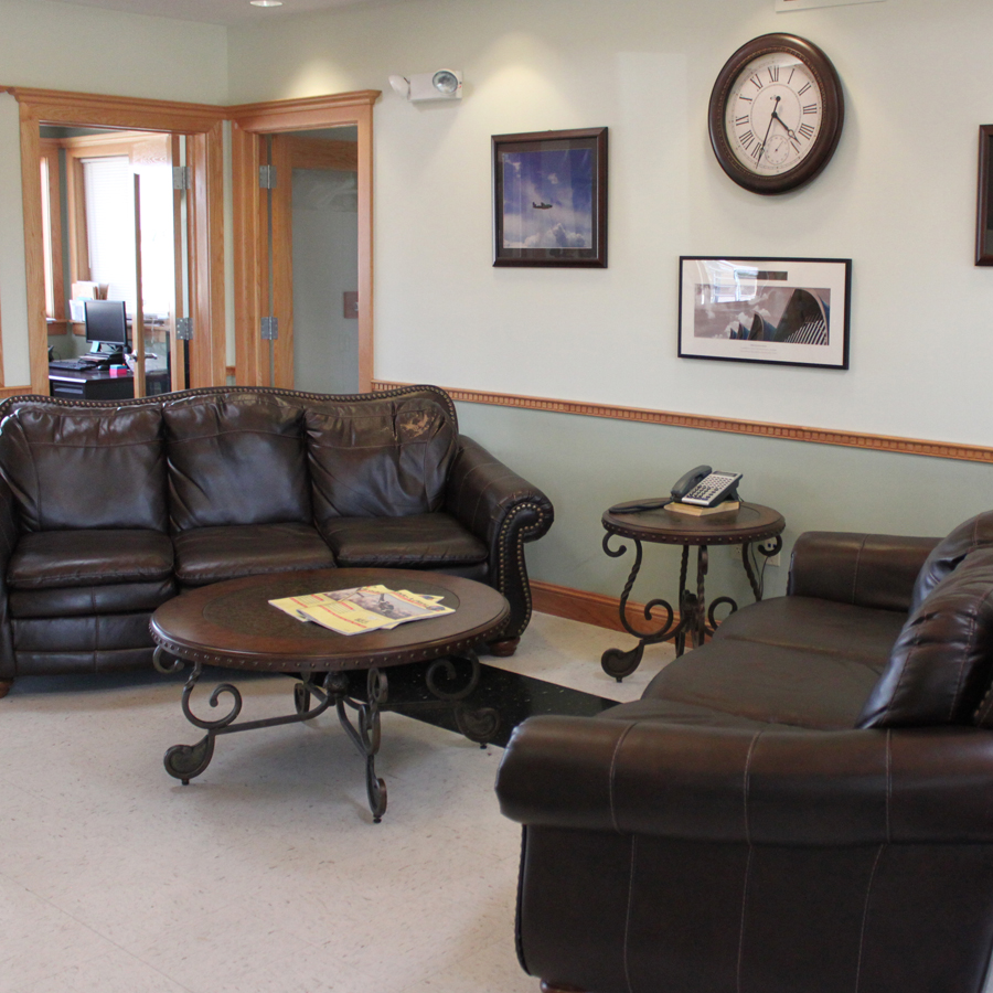
- WiFi availability
- Webcam links
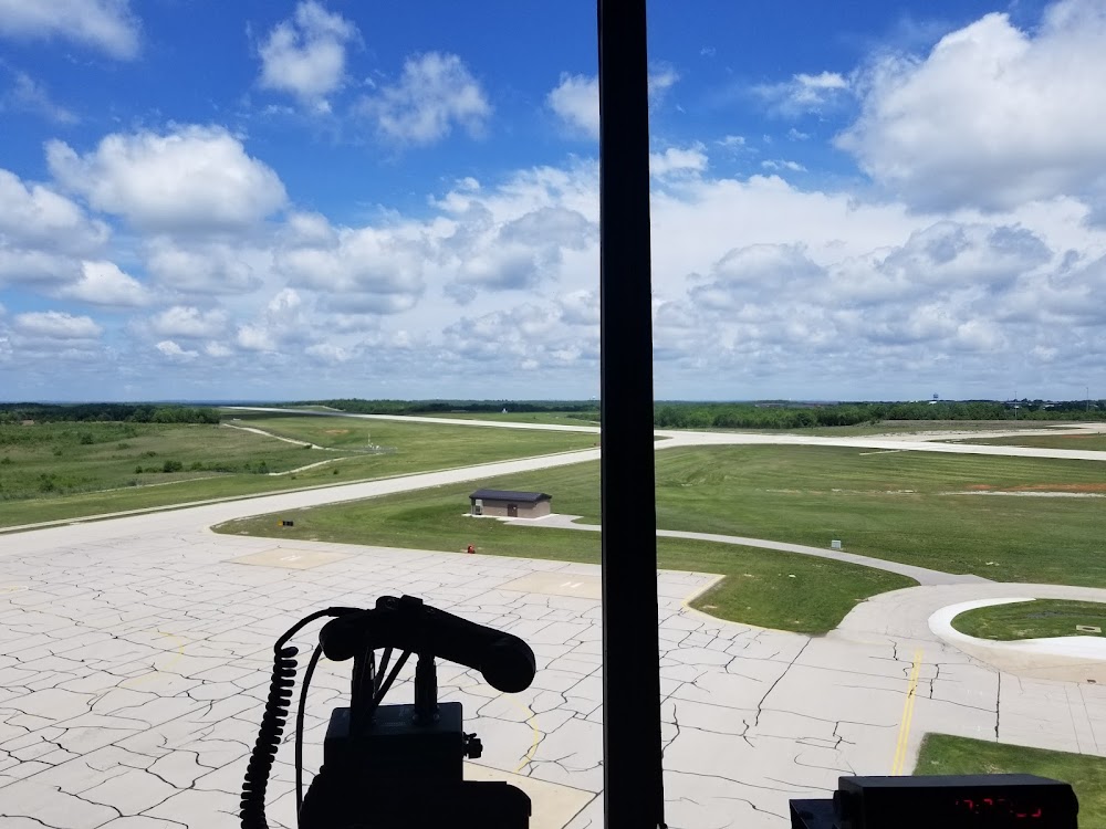
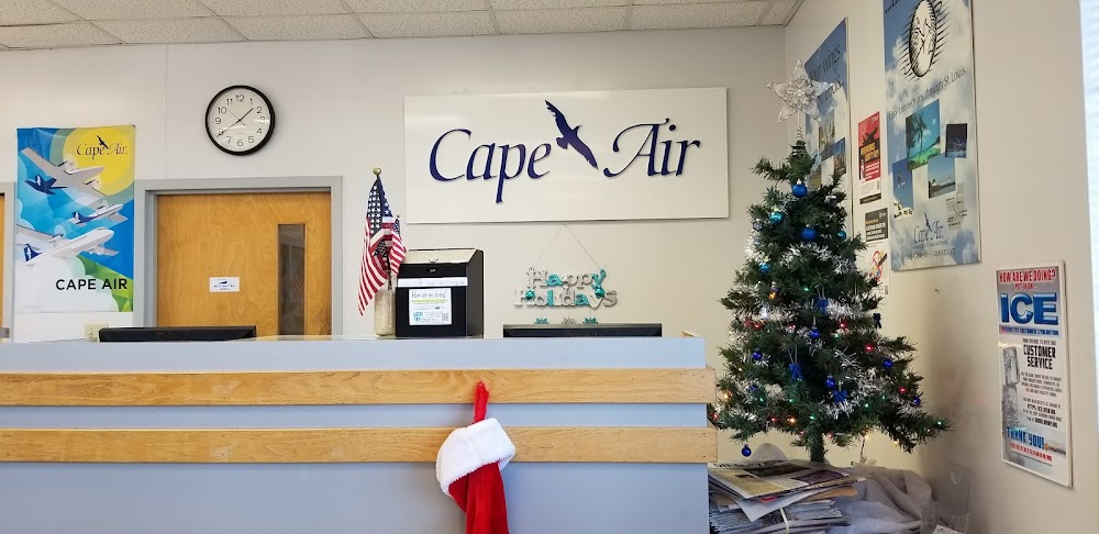
- General description
Location:
Fort Leonard Wood, MO
Elevation:
1,159ft
Sectional:
Kansas City
Activation date:
Apr 1944
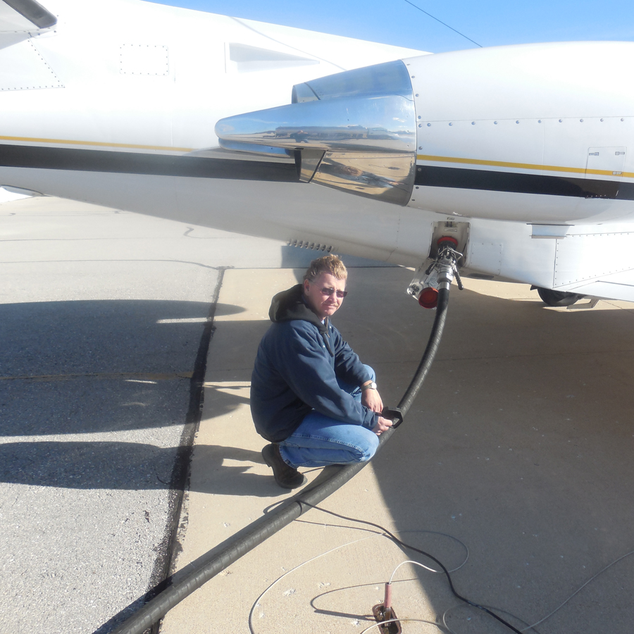
Fuel:
100LL, A (prices)
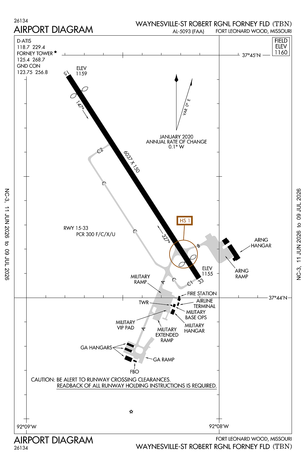
Runway 15/33:
6,037ft
Access: Open to the public
Current Weather — MVFR
-
Weather data is strictly informational and not for flight planning purposes.
-
METAR2026-07-16 03:55:00 CDT
Ceiling: Sky clear Wind: Calm Temperature: 70°F Dewpoint: 70°F Weather: Mist Visbility: 5SM Clouds: Scattered @ 9,000ft Raw:METAR KTBN 160855Z AUTO 00000KT 5SM BR SCT090 22/21 A3007 RMK AO2 SLP175 T02160212 52004 -
TAF2026-07-15 16:00:00 CDT – 2026-07-15 19:00:00 CDT
Ceiling: 4,000ft Wind: 090° @ 6kt Weather: Light rain showers, thunderstorm in vicinity Visbility: 6SM Clouds: Broken @ 4,000ft, Broken @ 15,000ft, Overcast @ 25,000ft Raw:TAF KTBN 152100Z 1521/1703 09006KT 9999 -SHRA VCTS BKN040CB BKN150 OVC250 QNH3000INS BECMG 1600/1602 18003KT 9999 NSW SCT031 BKN047 OVC065 QNH3001INS BECMG 1611/1613 23003KT 4800 -SHRA BR SCT015 BKN023 OVC031 QNH3006INS BECMG 1615/1617 31003KT 9999 VCSH BKN023 OVC031 QNH3009INS BECMG 1617/1619 26003KT 8000 -TSRA BKN015CB OVC025 QNH3007INS BECMG 1623/1701 00000KT 8000 -SHRA BKN030 OVC050 QNH3004INS TX29/1620Z TN21/1611Z LAST NO AMDS AFT 1522 NEXT 1613 -
TAF2026-07-15 19:00:00 CDT – 2026-07-16 06:00:00 CDT
Ceiling: 4,700ft Wind: 180° @ 3kt Weather: N/A Visbility: 6SM Clouds: Scattered @ 3,100ft, Broken @ 4,700ft, Overcast @ 6,500ft Raw:TAF KTBN 152100Z 1521/1703 09006KT 9999 -SHRA VCTS BKN040CB BKN150 OVC250 QNH3000INS BECMG 1600/1602 18003KT 9999 NSW SCT031 BKN047 OVC065 QNH3001INS BECMG 1611/1613 23003KT 4800 -SHRA BR SCT015 BKN023 OVC031 QNH3006INS BECMG 1615/1617 31003KT 9999 VCSH BKN023 OVC031 QNH3009INS BECMG 1617/1619 26003KT 8000 -TSRA BKN015CB OVC025 QNH3007INS BECMG 1623/1701 00000KT 8000 -SHRA BKN030 OVC050 QNH3004INS TX29/1620Z TN21/1611Z LAST NO AMDS AFT 1522 NEXT 1613 -
TAF2026-07-16 06:00:00 CDT – 2026-07-16 10:00:00 CDT
Ceiling: 2,300ft Wind: 230° @ 3kt Weather: Light rain showers, mist Visbility: 2SM Clouds: Scattered @ 1,500ft, Broken @ 2,300ft, Overcast @ 3,100ft Raw:TAF KTBN 152100Z 1521/1703 09006KT 9999 -SHRA VCTS BKN040CB BKN150 OVC250 QNH3000INS BECMG 1600/1602 18003KT 9999 NSW SCT031 BKN047 OVC065 QNH3001INS BECMG 1611/1613 23003KT 4800 -SHRA BR SCT015 BKN023 OVC031 QNH3006INS BECMG 1615/1617 31003KT 9999 VCSH BKN023 OVC031 QNH3009INS BECMG 1617/1619 26003KT 8000 -TSRA BKN015CB OVC025 QNH3007INS BECMG 1623/1701 00000KT 8000 -SHRA BKN030 OVC050 QNH3004INS TX29/1620Z TN21/1611Z LAST NO AMDS AFT 1522 NEXT 1613 -
TAF2026-07-16 10:00:00 CDT – 2026-07-16 12:00:00 CDT
Ceiling: 2,300ft Wind: 310° @ 3kt Weather: Showers in vicinity Visbility: 6SM Clouds: Broken @ 2,300ft, Overcast @ 3,100ft Raw:TAF KTBN 152100Z 1521/1703 09006KT 9999 -SHRA VCTS BKN040CB BKN150 OVC250 QNH3000INS BECMG 1600/1602 18003KT 9999 NSW SCT031 BKN047 OVC065 QNH3001INS BECMG 1611/1613 23003KT 4800 -SHRA BR SCT015 BKN023 OVC031 QNH3006INS BECMG 1615/1617 31003KT 9999 VCSH BKN023 OVC031 QNH3009INS BECMG 1617/1619 26003KT 8000 -TSRA BKN015CB OVC025 QNH3007INS BECMG 1623/1701 00000KT 8000 -SHRA BKN030 OVC050 QNH3004INS TX29/1620Z TN21/1611Z LAST NO AMDS AFT 1522 NEXT 1613 -
TAF2026-07-16 12:00:00 CDT – 2026-07-16 18:00:00 CDT
Ceiling: 1,500ft Wind: 260° @ 3kt Weather: Light thunderstorm rain Visbility: 4SM Clouds: Broken @ 1,500ft, Overcast @ 2,500ft Raw:TAF KTBN 152100Z 1521/1703 09006KT 9999 -SHRA VCTS BKN040CB BKN150 OVC250 QNH3000INS BECMG 1600/1602 18003KT 9999 NSW SCT031 BKN047 OVC065 QNH3001INS BECMG 1611/1613 23003KT 4800 -SHRA BR SCT015 BKN023 OVC031 QNH3006INS BECMG 1615/1617 31003KT 9999 VCSH BKN023 OVC031 QNH3009INS BECMG 1617/1619 26003KT 8000 -TSRA BKN015CB OVC025 QNH3007INS BECMG 1623/1701 00000KT 8000 -SHRA BKN030 OVC050 QNH3004INS TX29/1620Z TN21/1611Z LAST NO AMDS AFT 1522 NEXT 1613 -
TAF2026-07-16 18:00:00 CDT – 2026-07-16 22:00:00 CDT
Ceiling: 3,000ft Wind: Calm Weather: Light rain showers Visbility: 4SM Clouds: Broken @ 3,000ft, Overcast @ 5,000ft Raw:TAF KTBN 152100Z 1521/1703 09006KT 9999 -SHRA VCTS BKN040CB BKN150 OVC250 QNH3000INS BECMG 1600/1602 18003KT 9999 NSW SCT031 BKN047 OVC065 QNH3001INS BECMG 1611/1613 23003KT 4800 -SHRA BR SCT015 BKN023 OVC031 QNH3006INS BECMG 1615/1617 31003KT 9999 VCSH BKN023 OVC031 QNH3009INS BECMG 1617/1619 26003KT 8000 -TSRA BKN015CB OVC025 QNH3007INS BECMG 1623/1701 00000KT 8000 -SHRA BKN030 OVC050 QNH3004INS TX29/1620Z TN21/1611Z LAST NO AMDS AFT 1522 NEXT 1613
Click/tap to add an annotation marker to the map
No webcams added yet.
Remarks
- Rstd: ppr for all tran mil acft dsn 581-0165/4819; c573-596-0165/4819.
- Sfc vsby limited by tree line fm e to s to w.
- Wx svc avbl mon-fri exc hol 1300-0400z++. an/fmq-19 automated observing sys in use; augmented by human obsn when nec dur afld hrs. ot remote briefing svc avbl 26 ows barksdale afb dsn 781-4775, c318-456-4775, c866-223-2398 (toll free).
- Military service: no mil fuel avbl. civ: nc a avbl 1400-2300z++ ot c573-329-4216. 100ll avbl h24 with credit card.
- Military: svc: south end of rwy safety zone unprotected when twr clsd.
Comments