Pirep is a free, collaborative database of all public and private airports. All pilots are welcome to contribute their local knowledge to any airport, no registration required.
Public
Undocumented
METAR / TAF
Edit Tags
No upcoming events. Is anything happening here soon?
Airport Statistics
- Transient parking location
- Fuel pump location
- Local flying clubs
Location:
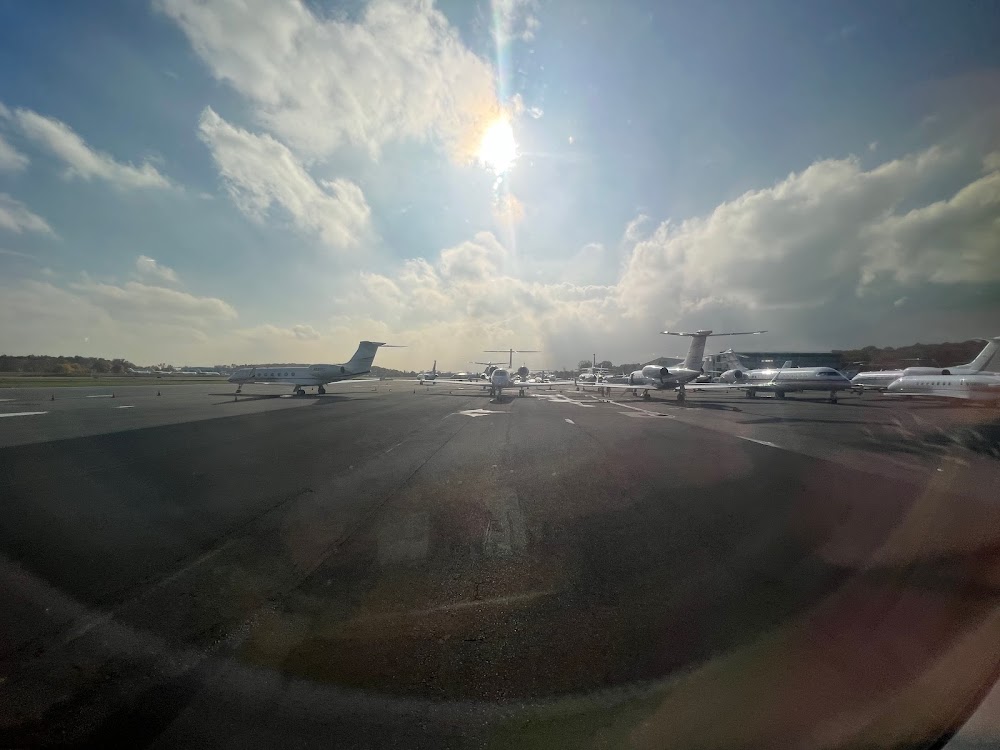
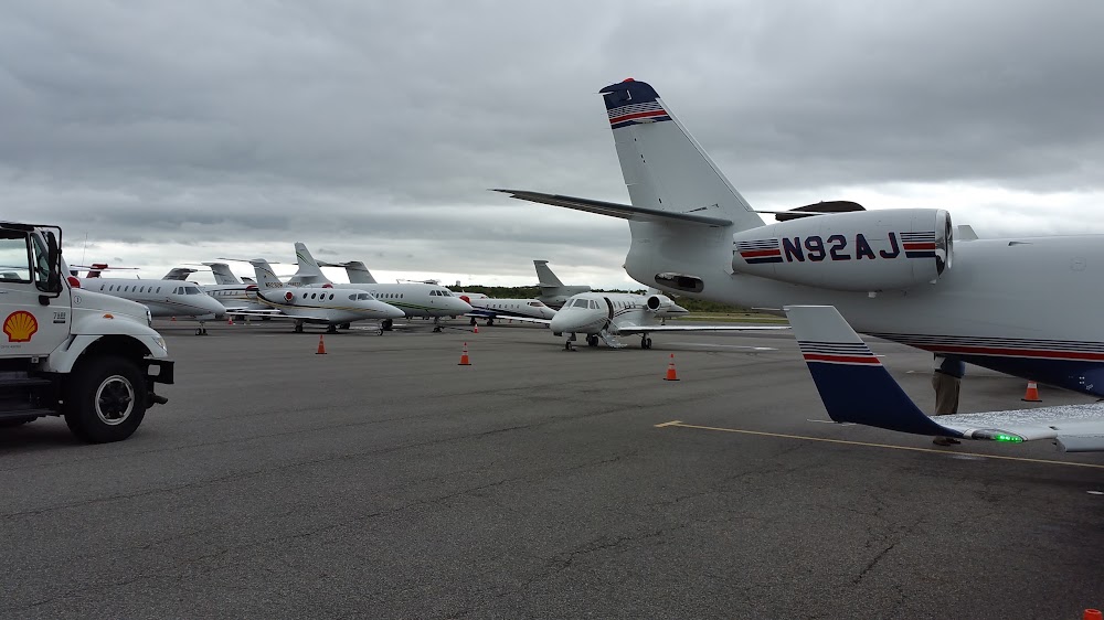
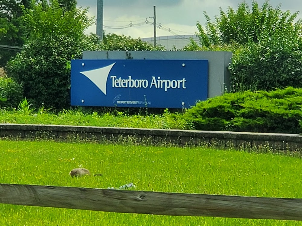
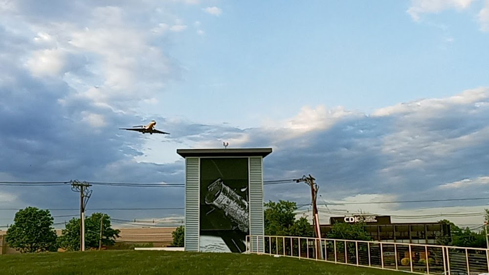
Teterboro, NJ
Elevation:
8ft
Sectional:
New York
Activation date:
Jan 1947
Fuel:
100LL, A (prices)
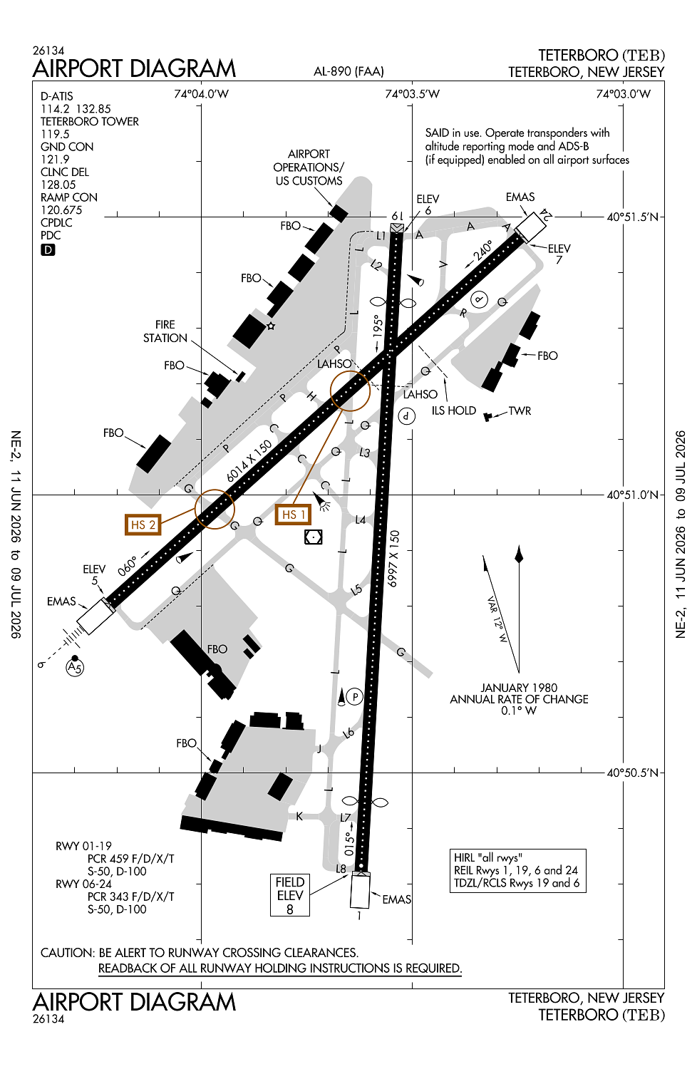
Runway 01/19:
6,997ft
Runway 06/24:
6,014ft
Access: Open to the public
Current Weather — VFR
-
Weather data is strictly informational and not for flight planning purposes.
-
METAR2026-07-20 07:51:00 EDT
Ceiling: Sky clear Wind: Calm Temperature: 66°F Dewpoint: 51°F Weather: N/A Visbility: 10SM Raw:METAR KTEB 201151Z 00000KT 10SM CLR 19/11 A3001 RMK AO2 SLP163 T01890111 10189 20156 51021 $ -
TAF2026-07-20 08:00:00 EDT – 2026-07-20 14:00:00 EDT
Ceiling: Sky clear Wind: Variable Weather: N/A Visbility: 6SM Clouds: @ ft Raw:TAF KTEB 201126Z 2012/2118 VRB05KT P6SM SKC FM201800 18007KT P6SM FEW250 FM210100 18005KT P6SM SCT250 FM211300 15010G20KT P6SM VCSH SCT025 BKN050 PROB30 2113/2118 4SM -TSRA BKN025CB -
TAF2026-07-20 14:00:00 EDT – 2026-07-20 21:00:00 EDT
Ceiling: Sky clear Wind: 180° @ 7kt Weather: N/A Visbility: 6SM Clouds: Few @ 25,000ft Raw:TAF KTEB 201126Z 2012/2118 VRB05KT P6SM SKC FM201800 18007KT P6SM FEW250 FM210100 18005KT P6SM SCT250 FM211300 15010G20KT P6SM VCSH SCT025 BKN050 PROB30 2113/2118 4SM -TSRA BKN025CB -
TAF2026-07-20 21:00:00 EDT – 2026-07-21 09:00:00 EDT
Ceiling: Sky clear Wind: 180° @ 5kt Weather: N/A Visbility: 6SM Clouds: Scattered @ 25,000ft Raw:TAF KTEB 201126Z 2012/2118 VRB05KT P6SM SKC FM201800 18007KT P6SM FEW250 FM210100 18005KT P6SM SCT250 FM211300 15010G20KT P6SM VCSH SCT025 BKN050 PROB30 2113/2118 4SM -TSRA BKN025CB -
TAF2026-07-21 09:00:00 EDT – 2026-07-21 14:00:00 EDT
Ceiling: 2,500ft Wind: 000° @ kt Weather: Light thunderstorm rain Visbility: 4SM Clouds: Broken @ 2,500ft Raw:TAF KTEB 201126Z 2012/2118 VRB05KT P6SM SKC FM201800 18007KT P6SM FEW250 FM210100 18005KT P6SM SCT250 FM211300 15010G20KT P6SM VCSH SCT025 BKN050 PROB30 2113/2118 4SM -TSRA BKN025CB -
TAF2026-07-21 09:00:00 EDT – 2026-07-21 14:00:00 EDT
Ceiling: 5,000ft Wind: 150° @ 10kt, gusts 20kt Weather: Showers in vicinity Visbility: 6SM Clouds: Scattered @ 2,500ft, Broken @ 5,000ft Raw:TAF KTEB 201126Z 2012/2118 VRB05KT P6SM SKC FM201800 18007KT P6SM FEW250 FM210100 18005KT P6SM SCT250 FM211300 15010G20KT P6SM VCSH SCT025 BKN050 PROB30 2113/2118 4SM -TSRA BKN025CB
Click/tap to add an annotation marker to the map
No webcams added yet.
Remarks
- Arff index b equipment coverage prvdd.
- Clsd to motorless acft - unctld acft & ultralight activity excep by prior permission.
- All acft avoid hospital 1.7 mile north of rwy 01/19.
- Deer and bird act on and invof arpt.
- Hel opns over residential areas blo 1000 ft msl should be avoided.
Comments