Pirep is a free, collaborative database of all public and private airports. All pilots are welcome to contribute their local knowledge to any airport, no registration required.
Public
Undocumented
METAR / TAF
Webcam
Edit Tags
No upcoming events. Is anything happening here soon?
Airport Statistics
- Tags
- Crew car availability
- Landing & tie-down fees
Location:
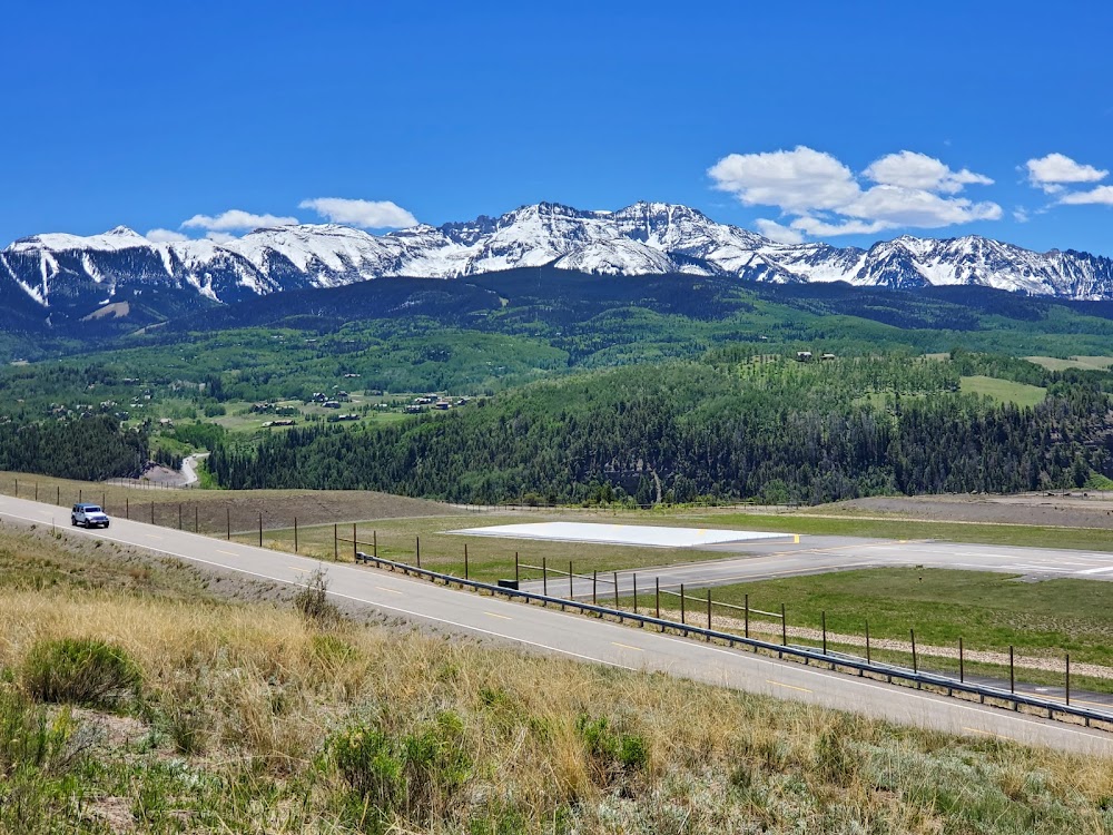
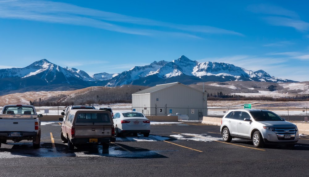
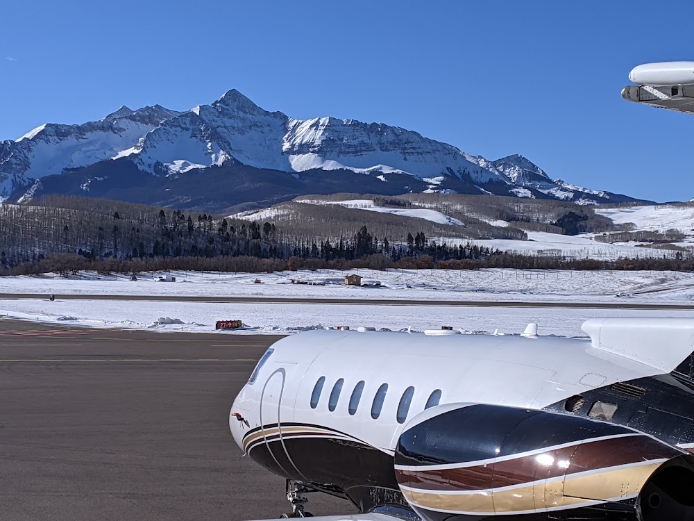
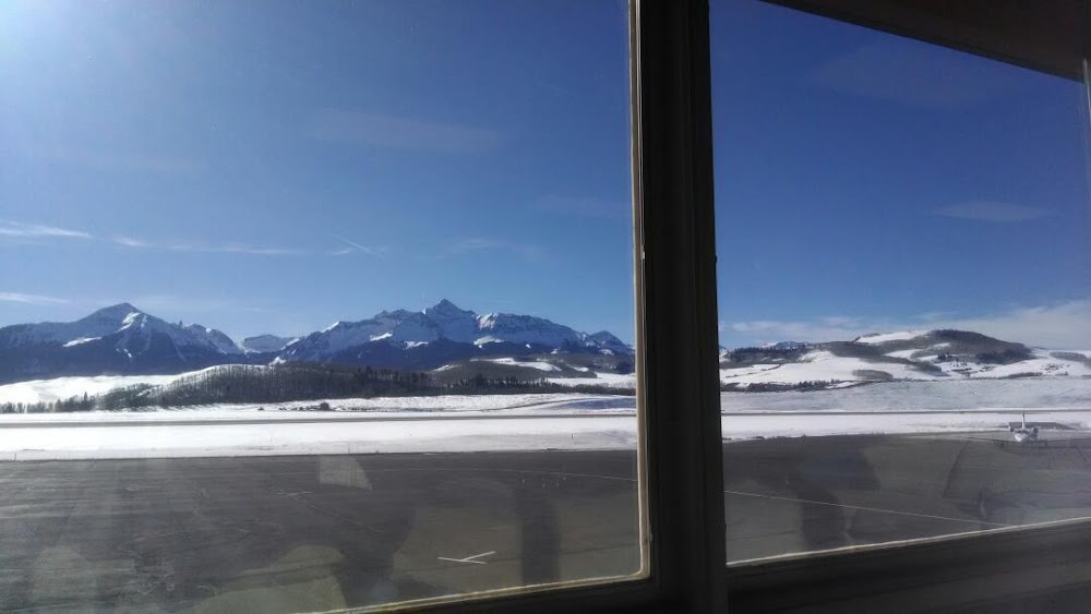
Telluride, CO
Elevation:
9,069ft
Sectional:
Denver
Activation date:
Mar 1986
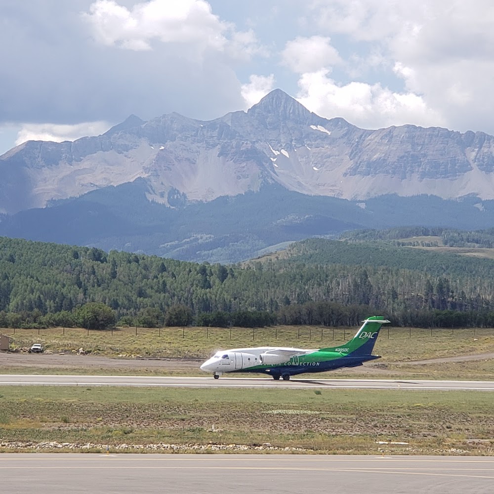
Fuel:
100LL, A (prices)
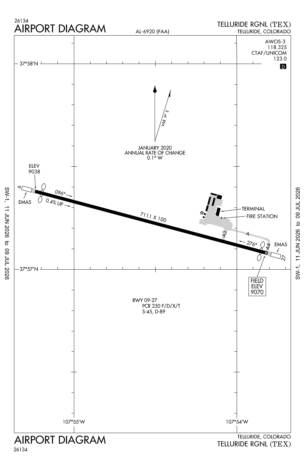
Runway 09/27:
7,111ft
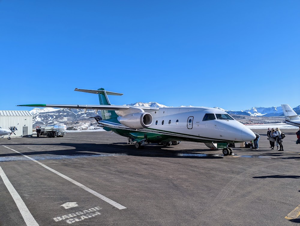
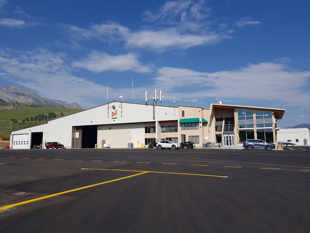
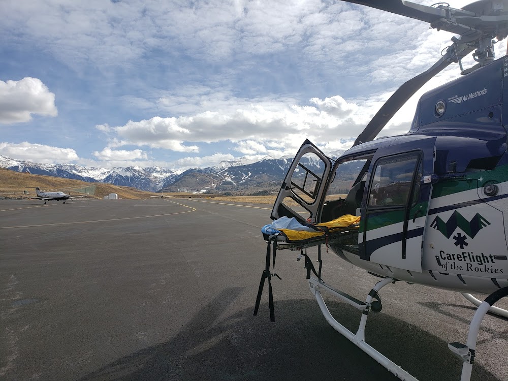
Access: Open to the public
Current Weather — VFR
-
Weather data is strictly informational and not for flight planning purposes.
-
METAR2026-07-21 00:15:00 MDT
Ceiling: Sky clear Wind: 140° @ 7kt Temperature: 59°F Dewpoint: 51°F Weather: N/A Visbility: 10SM Raw:METAR KTEX 210615Z AUTO 14007KT 10SM CLR 15/11 A3046 RMK AO2 -
TAF2026-07-21 00:00:00 MDT – 2026-07-21 12:00:00 MDT
Ceiling: Sky clear Wind: Variable Weather: N/A Visbility: 6SM Clouds: Scattered @ 11,000ft, Scattered @ 15,000ft Raw:TAF KTEX 210533Z 2106/2206 VRB04KT P6SM SCT110 SCT150 FM211800 14006KT P6SM VCTS FEW080CB SCT140 PROB30 2118/2124 -TSRA BKN080CB FM220000 17006KT P6SM VCSH SCT060 OVC100 PROB30 2200/2206 -TSRA BKN060CB -
TAF2026-07-21 12:00:00 MDT – 2026-07-21 18:00:00 MDT
Ceiling: 8,000ft Wind: 000° @ kt Weather: Light thunderstorm rain Visbility: SM Clouds: Broken @ 8,000ft Raw:TAF KTEX 210533Z 2106/2206 VRB04KT P6SM SCT110 SCT150 FM211800 14006KT P6SM VCTS FEW080CB SCT140 PROB30 2118/2124 -TSRA BKN080CB FM220000 17006KT P6SM VCSH SCT060 OVC100 PROB30 2200/2206 -TSRA BKN060CB -
TAF2026-07-21 12:00:00 MDT – 2026-07-21 18:00:00 MDT
Ceiling: Sky clear Wind: 140° @ 6kt Weather: Thunderstorm in vicinity Visbility: 6SM Clouds: Few @ 8,000ft, Scattered @ 14,000ft Raw:TAF KTEX 210533Z 2106/2206 VRB04KT P6SM SCT110 SCT150 FM211800 14006KT P6SM VCTS FEW080CB SCT140 PROB30 2118/2124 -TSRA BKN080CB FM220000 17006KT P6SM VCSH SCT060 OVC100 PROB30 2200/2206 -TSRA BKN060CB -
TAF2026-07-21 18:00:00 MDT – 2026-07-22 00:00:00 MDT
Ceiling: 6,000ft Wind: 000° @ kt Weather: Light thunderstorm rain Visbility: SM Clouds: Broken @ 6,000ft Raw:TAF KTEX 210533Z 2106/2206 VRB04KT P6SM SCT110 SCT150 FM211800 14006KT P6SM VCTS FEW080CB SCT140 PROB30 2118/2124 -TSRA BKN080CB FM220000 17006KT P6SM VCSH SCT060 OVC100 PROB30 2200/2206 -TSRA BKN060CB -
TAF2026-07-21 18:00:00 MDT – 2026-07-22 00:00:00 MDT
Ceiling: 10,000ft Wind: 170° @ 6kt Weather: Showers in vicinity Visbility: 6SM Clouds: Scattered @ 6,000ft, Overcast @ 10,000ft Raw:TAF KTEX 210533Z 2106/2206 VRB04KT P6SM SCT110 SCT150 FM211800 14006KT P6SM VCTS FEW080CB SCT140 PROB30 2118/2124 -TSRA BKN080CB FM220000 17006KT P6SM VCSH SCT060 OVC100 PROB30 2200/2206 -TSRA BKN060CB
Click/tap to add an annotation marker to the map
Remarks
- Provided obstns free 20:1 apch sfcs are maintained.
- Rstd to far 139 design groups ai - ciii.
- Glider; hang glider & helicopter opns on & invof arpt.
- Noise abatement procedures in effect. for more info contact tex customer service 970-728-8600.
- Rising terrain all quadrants.
Comments