Pirep is a free, collaborative database of all public and private airports. All pilots are welcome to contribute their local knowledge to any airport, no registration required.


Public
Undocumented
Edit Tags
No upcoming events. Is anything happening here soon?
Airport Statistics
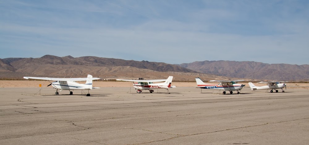
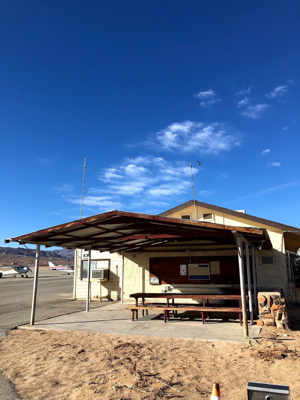
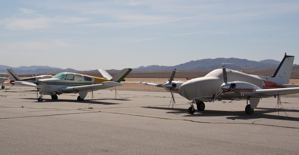
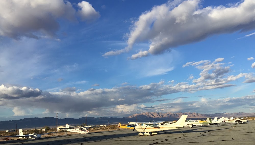
- Airport photos
- Tags
- General description
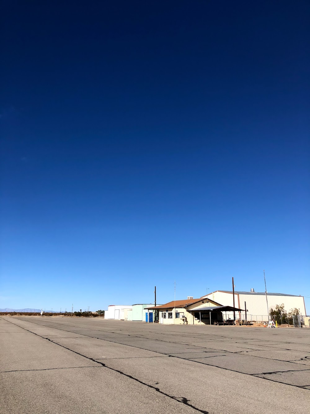
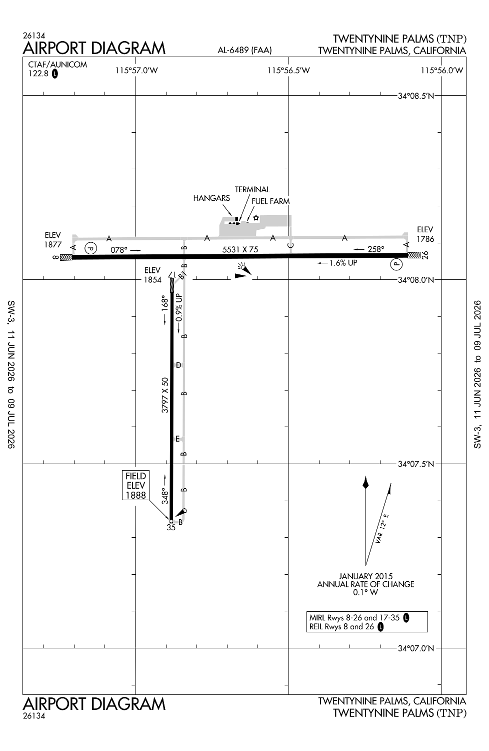
Location:
Twentynine Palms, CA
Elevation:
1,888ft
Sectional:
Los Angeles
Activation date:
Feb 1959
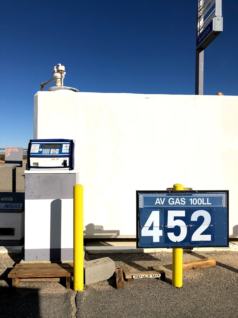
Fuel:
100LL (prices)
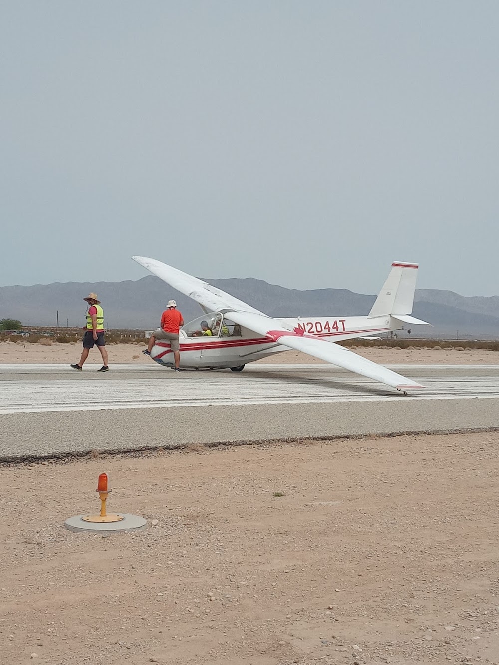
Runway 08/26:
5,531ft
Runway 17/35:
3,797ft
Access: Open to the public
Click/tap to add an annotation marker to the map
No webcams added yet.
Remarks
- This airport has been surveyed by the national geodetic survey.
- Twy lgts on twy connecting rwy 08/26 & rwy 17/35; plus blue reflectors on parallel twy serving rwy 17/35.
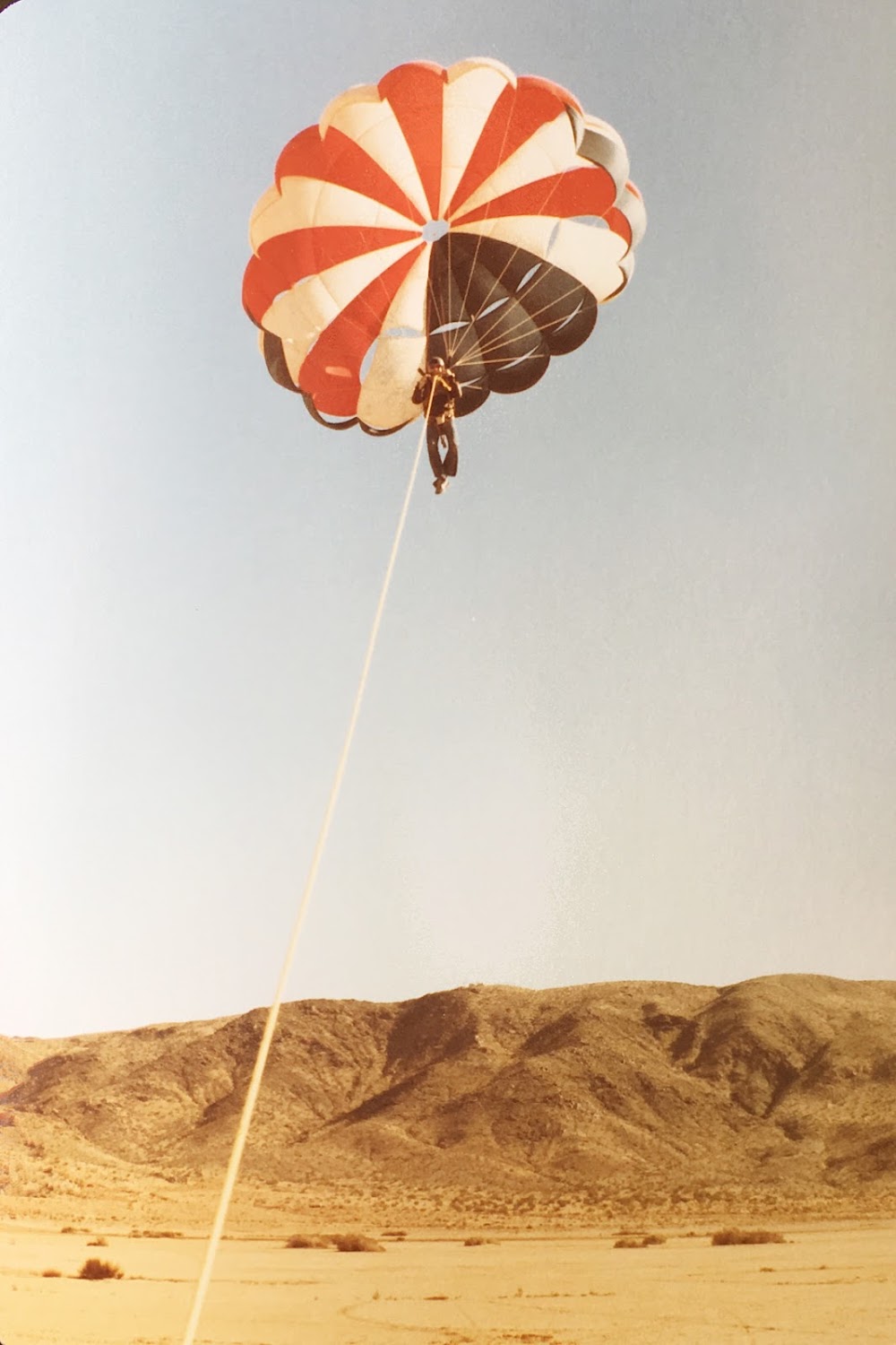
- Be alert for aerobatic activity south of ry 17/35.
- For cd if una to ctc on fss freq, ctc los angeles artcc at 661-575-2079.
- Actvt mirl ry 08/26 and 17/35; reil ry 08 and ry 26 - ctaf.
Comments