Pirep is a free, collaborative database of all public and private airports. All pilots are welcome to contribute their local knowledge to any airport, no registration required.
Public
Undocumented
METAR / TAF
Edit Tags
No upcoming events. Is anything happening here soon?
Airport Statistics
- General description
- Landing & tie-down fees
- Fuel pump location
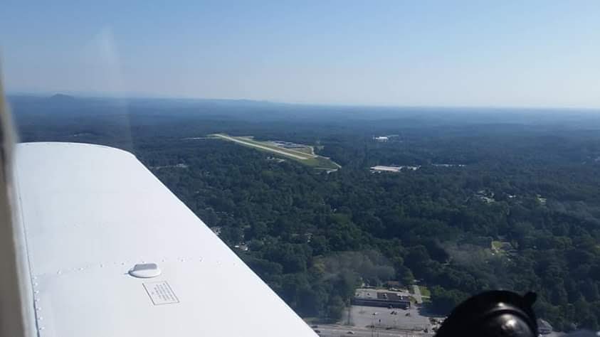
Location:
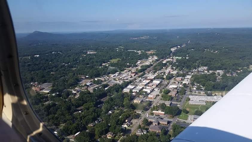
Toccoa, GA
Elevation:
996ft
Sectional:
Atlanta
Activation date:
Apr 1940
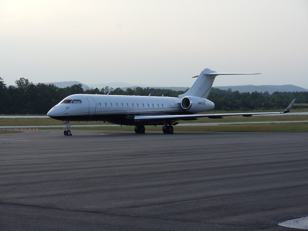
Fuel:
100LL, A+ (prices)
Runway 03/21:
5,008ft
Runway 09/27:
2,951ft
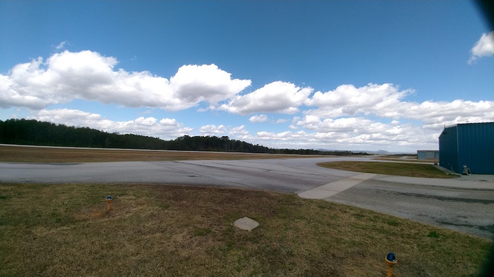
Access: Open to the public
Current Weather — VFR
-
Weather data is strictly informational and not for flight planning purposes.
-
METAR2026-07-15 23:15:00 EDT
Ceiling: Sky clear Wind: Calm Temperature: 77°F Dewpoint: 75°F Weather: N/A Visbility: 10SM Raw:METAR KTOC 160315Z AUTO 00000KT 10SM CLR 25/24 A3012 RMK AO2
Click/tap to add an annotation marker to the map
No webcams added yet.
Remarks
- Deer on or invof arpt
- For cd ctc atlanta artcc at 770-210-7692.
- Hi gnd starting 170 ft fm rcl east and west of apch end rwy 21 and dep rwy 03.
- Dusk-2200. after 2200 actvt mirl ry 03/21, reil rys 03 & 21, papi rys 03 & 21 - ctaf.
- 8 ft stone berm 200 ft right 0-200ft fm rwy end.
- Controlling obstruction exceeds a 45 degree slope
Comments